Estimated Value: $100,715 - $209,000
Studio
--
Bath
1,201
Sq Ft
$121/Sq Ft
Est. Value
About This Home
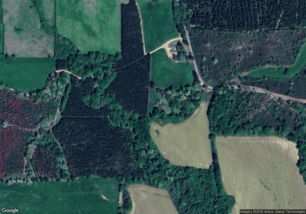
This home is located at 217 Mccallum Rd, Magee, MS 39111 and is currently estimated at $145,238, approximately $120 per square foot. 217 Mccallum Rd is a home located in Simpson County with nearby schools including Magee Elementary School, Magee Middle School, and Magee High School.
Ownership History
Date
Name
Owned For
Owner Type
Purchase Details
Closed on
Mar 4, 2021
Sold by
Curlee Chris and Curlee Jennifer
Bought by
Curlee Kyle W and Curlee Christin K
Current Estimated Value
Home Financials for this Owner
Home Financials are based on the most recent Mortgage that was taken out on this home.
Original Mortgage
$65,000
Outstanding Balance
$57,602
Interest Rate
2.7%
Mortgage Type
Purchase Money Mortgage
Estimated Equity
$87,636
Purchase Details
Closed on
Oct 6, 2017
Sold by
Hill Hill J and Hill Sally J
Bought by
Gurley Eugene F and Gurley Patricia K
Create a Home Valuation Report for This Property
The Home Valuation Report is an in-depth analysis detailing your home's value as well as a comparison with similar homes in the area
Purchase History
| Date | Buyer | Sale Price | Title Company |
|---|---|---|---|
| Curlee Kyle W | -- | None Available | |
| Gurley Eugene F | -- | None Available |
Source: Public Records
Mortgage History
| Date | Status | Borrower | Loan Amount |
|---|---|---|---|
| Open | Curlee Kyle W | $65,000 |
Source: Public Records
Tax History
| Year | Tax Paid | Tax Assessment Tax Assessment Total Assessment is a certain percentage of the fair market value that is determined by local assessors to be the total taxable value of land and additions on the property. | Land | Improvement |
|---|---|---|---|---|
| 2025 | $392 | $5,315 | $0 | $0 |
| 2024 | $392 | $5,193 | $0 | $0 |
| 2023 | $381 | $4,917 | $0 | $0 |
| 2022 | $344 | $4,917 | $0 | $0 |
| 2021 | $797 | $7,376 | $0 | $0 |
| 2020 | $730 | $6,760 | $0 | $0 |
| 2019 | $720 | $6,959 | $0 | $0 |
| 2018 | $720 | $6,959 | $0 | $0 |
| 2017 | $722 | $6,974 | $0 | $0 |
| 2016 | $684 | $6,869 | $0 | $0 |
| 2015 | $655 | $6,818 | $0 | $0 |
| 2014 | $651 | $6,773 | $0 | $0 |
Source: Public Records
Map
Nearby Homes
- 120 Memory Ln
- 399 James Boyakin Barnett Rd
- 0 Bill Jones Rd
- 0 Highway 28 Hwy Unit 1287717
- 0 Pecan Grove Dr Unit 4116202
- 352 Berry Lott Rd
- 147 Wolverton Dr
- 247 Mc Nair Springs Rd
- 110 Anse Reed Rd
- 439 New Hope Rd
- 120 Anse Reed Rd
- - McNair Springs Rd
- 0 Hawpond Church Rd
- 150 Pinetree Rd
- 00 Anse Reed Rd
- 125 Barr Hill Dr
- 104 Kaden Kove
- 00 U S 49
- 00 Son's Ln
- 461 Highway 545
- 229 Mccallum Rd
- 0 Mccallum Rd
- 269 Mccallum Rd
- 1256 Mount Zion Rd
- 1249 Mount Zion Rd
- 103 Mccallum Rd
- 1332 Mount Zion Rd
- 1301 Mount Zion Rd
- 114 Daughdrill Rd
- 1356 Mount Zion Rd
- 120 Steendom Ln
- 157 Daughdrill Rd
- 1031 Mount Zion Rd
- 1411 Mount Zion Rd
- 1038 Mount Zion Rd
- 1415 Mount Zion Rd
- 1415 Mount Zion Rd Unit Mt. Zion Rd.
Your Personal Tour Guide
Ask me questions while you tour the home.
