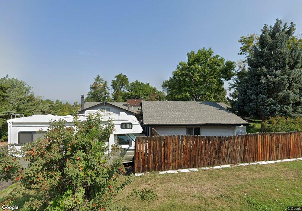
2172 Champlain Dr Boulder, CO 80301
Estimated Value: $1,487,000 - $1,944,000
3
Beds
3
Baths
3,118
Sq Ft
$552/Sq Ft
Est. Value
About This Home
This home is located at 2172 Champlain Dr, Boulder, CO 80301 and is currently estimated at $1,721,762, approximately $552 per square foot. 2172 Champlain Dr is a home located in Boulder County with nearby schools including Douglass Elementary School, Nevin Platt Middle School, and Centaurus High School.
Ownership History
Date
Name
Owned For
Owner Type
Purchase Details
Closed on
May 18, 2006
Sold by
Cook Brenda H and Johnson Penelope G
Bought by
Edstrand Dorrel L
Current Estimated Value
Purchase Details
Closed on
Aug 27, 2001
Sold by
Miller Richard H and Miller Helen J
Bought by
Cook Brenda H
Home Financials for this Owner
Home Financials are based on the most recent Mortgage that was taken out on this home.
Original Mortgage
$365,000
Interest Rate
7.07%
Purchase Details
Closed on
Apr 17, 1990
Bought by
Edstrand Dorrel L and Nepi Stephen C
Purchase Details
Closed on
Jun 5, 1987
Bought by
Edstrand Dorrel L and Nepi Stephen C
Purchase Details
Closed on
Jan 2, 1976
Bought by
Edstrand Dorrel L and Nepi Stephen C
Create a Home Valuation Report for This Property
The Home Valuation Report is an in-depth analysis detailing your home's value as well as a comparison with similar homes in the area
Home Values in the Area
Average Home Value in this Area
Purchase History
| Date | Buyer | Sale Price | Title Company |
|---|---|---|---|
| Edstrand Dorrel L | $630,000 | Land Title Guarantee Company | |
| Cook Brenda H | $565,000 | Land Title | |
| Edstrand Dorrel L | $247,000 | -- | |
| Edstrand Dorrel L | $250,000 | -- | |
| Edstrand Dorrel L | $77,500 | -- |
Source: Public Records
Mortgage History
| Date | Status | Borrower | Loan Amount |
|---|---|---|---|
| Previous Owner | Cook Brenda H | $365,000 |
Source: Public Records
Tax History
| Year | Tax Paid | Tax Assessment Tax Assessment Total Assessment is a certain percentage of the fair market value that is determined by local assessors to be the total taxable value of land and additions on the property. | Land | Improvement |
|---|---|---|---|---|
| 2025 | $9,737 | $105,429 | $39,025 | $66,404 |
| 2024 | $9,737 | $105,429 | $39,025 | $66,404 |
| 2023 | $9,589 | $110,497 | $31,946 | $82,236 |
| 2022 | $7,456 | $82,174 | $26,577 | $55,597 |
| 2021 | $7,118 | $84,539 | $27,342 | $57,197 |
| 2020 | $6,918 | $79,136 | $26,598 | $52,538 |
| 2019 | $6,809 | $79,136 | $26,598 | $52,538 |
| 2018 | $6,014 | $70,085 | $22,248 | $47,837 |
| 2017 | $6,509 | $77,482 | $24,596 | $52,886 |
| 2016 | $6,980 | $72,364 | $25,472 | $46,892 |
| 2015 | $6,575 | $52,313 | $20,457 | $31,856 |
| 2014 | $4,531 | $43,955 | $20,457 | $23,498 |
Source: Public Records
Map
Nearby Homes
- 2208 Champlain Dr
- 8778 Arapahoe Rd
- 1484 Wicklow St
- 1470 White Hawk Ranch Dr
- 1482 High Plains Ct
- 9022 Jason Ct
- 2587 Ginny Way
- 2590 Blue Heron Cir W
- 2527 Columbine Cir
- 2554 Dutch Ct
- 1338 Tipperary St
- 2551 Ginny Way
- 2548 Ginny Way
- 2698 Trailridge Dr W
- 578 Indian Peaks Trail W Unit W
- 3044 Red Deer Trail
- 3031 Thunder Lake Cir
- 9776 Arapahoe Rd
- 2428 Concord Cir
- 9850 Arapahoe Rd
- 2213 Placid Dr
- 2124 Champlain Dr
- 2259 Placid Dr
- 2179 Champlain Dr
- 2153 Champlain Dr
- 2240 Champlain Dr
- 2211 Champlain Dr
- 2162 Placid Dr
- 2291 Placid Dr
- 2226 Placid Dr
- 2192 Placid Dr
- 2247 Champlain Dr
- 2278 Champlain Dr
- 2178 Placid Dr
- 2112 Park Lake Dr
- 2080 Park Lake Dr
- 2260 Placid Dr
- 2070 Champlain Dr
- 8929 Tahoe Ln
- 2142 Park Lake Dr
Your Personal Tour Guide
Ask me questions while you tour the home.