218 Howard Roland Rd Moultrie, GA 31788
Estimated Value: $170,000 - $1,182,889
3
Beds
2
Baths
2,196
Sq Ft
$255/Sq Ft
Est. Value
About This Home
This home is located at 218 Howard Roland Rd, Moultrie, GA 31788 and is currently estimated at $560,296, approximately $255 per square foot. 218 Howard Roland Rd is a home located in Colquitt County with nearby schools including Odom Elementary School, Willie J. Williams Middle School, and C.A. Gray Junior High School.
Ownership History
Date
Name
Owned For
Owner Type
Purchase Details
Closed on
Oct 11, 2013
Sold by
Vu Cuong Kevin
Bought by
Bluepoint Farm Llc
Current Estimated Value
Home Financials for this Owner
Home Financials are based on the most recent Mortgage that was taken out on this home.
Original Mortgage
$1,990,000
Interest Rate
4.57%
Mortgage Type
New Conventional
Purchase Details
Closed on
Nov 11, 2005
Sold by
Williams Jeanette
Bought by
Vu Eat 60025412 Llc
Create a Home Valuation Report for This Property
The Home Valuation Report is an in-depth analysis detailing your home's value as well as a comparison with similar homes in the area
Home Values in the Area
Average Home Value in this Area
Purchase History
| Date | Buyer | Sale Price | Title Company |
|---|---|---|---|
| Bluepoint Farm Llc | $1,150,000 | -- | |
| Vu Eat 60025412 Llc | $600,000 | -- |
Source: Public Records
Mortgage History
| Date | Status | Borrower | Loan Amount |
|---|---|---|---|
| Closed | Bluepoint Farm Llc | $1,990,000 | |
| Closed | Vu Eat 60025412 Llc | $0 |
Source: Public Records
Tax History Compared to Growth
Tax History
| Year | Tax Paid | Tax Assessment Tax Assessment Total Assessment is a certain percentage of the fair market value that is determined by local assessors to be the total taxable value of land and additions on the property. | Land | Improvement |
|---|---|---|---|---|
| 2024 | $9,322 | $442,055 | $57,626 | $384,429 |
| 2023 | $9,322 | $421,204 | $57,626 | $363,578 |
| 2022 | $9,760 | $409,876 | $57,626 | $352,250 |
| 2021 | $9,524 | $392,220 | $49,238 | $342,982 |
| 2020 | $9,694 | $392,220 | $49,238 | $342,982 |
| 2019 | $10,780 | $392,156 | $49,238 | $342,918 |
| 2018 | $10,031 | $392,156 | $49,238 | $342,918 |
| 2017 | $10,451 | $383,989 | $41,071 | $342,918 |
Source: Public Records
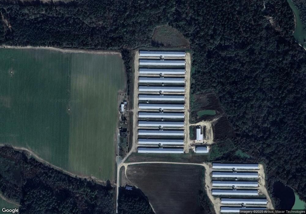
Map
Nearby Homes
- 1114 Cannon Rd
- 5940 Georgia 37
- 277 Indian Creek Subdivision
- 2262 Sardis Church Rd
- 5808 Georgia 133
- 0 Murray McCranie Rd Unit 25079284
- 0 Murray McCranie Rd Unit 11586683
- 313 Langford St
- 3332 Ellenton Norman Park Rd
- 8774 Antioch Rd
- 410 Railroad St
- 0 Southerland Ave
- 0 Sardis Church Rd
- 0 Upper Trail Unit 913421
- 0 Upper Trail Unit 913422
- 1620 R L Sears Rd
- 2590 McConnell Bridge Rd
- 182 Horseshoe Dr
- 421 Best Cir
- 289 Arthur Newbern Rd
- 540 Stanfill Rd
- 304 Stanfill Rd
- 304 Stanfill Rd
- 112 Howard Roland Rd
- 298 Stanfill Rd
- 246 Jc Stanfill Ln
- 315 Bluebird Rd
- 534 Stanfill Rd
- 299 Bluebird Rd
- 248 Jc Stanfill Ln
- 501 Cannon Rd
- 209 Bluebird Rd
- 173 Jc Stanfill Ln
- 475 Cannon Rd
- 0 Bluebird Rd Unit 7515571
- 415 Bluebird Rd
- 240 Stanfill Rd
- 667 Cannon Rd
- 621 Cannon Rd
- 192 Stanfill Rd