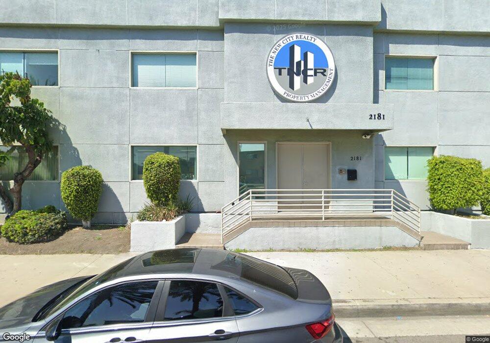
2181 S Atlantic Blvd Commerce, CA 90040
Estimated Value: $1,656,102
Studio
--
Bath
6,646
Sq Ft
$249/Sq Ft
Est. Value
About This Home
This home is located at 2181 S Atlantic Blvd, Commerce, CA 90040 and is currently estimated at $1,656,102, approximately $249 per square foot. 2181 S Atlantic Blvd is a home located in Los Angeles County with nearby schools including Bandini Elementary School, Rosewood Park School, and Bell Gardens High.
Create a Home Valuation Report for This Property
The Home Valuation Report is an in-depth analysis detailing your home's value as well as a comparison with similar homes in the area
Home Values in the Area
Average Home Value in this Area
Tax History
| Year | Tax Paid | Tax Assessment Tax Assessment Total Assessment is a certain percentage of the fair market value that is determined by local assessors to be the total taxable value of land and additions on the property. | Land | Improvement |
|---|---|---|---|---|
| 2025 | $20,153 | $1,542,464 | $703,580 | $838,884 |
| 2024 | $19,421 | $1,512,221 | $689,785 | $822,436 |
| 2023 | $19,453 | $1,482,570 | $676,260 | $806,310 |
| 2022 | $18,783 | $1,453,500 | $663,000 | $790,500 |
| 2021 | $11,226 | $819,067 | $277,702 | $541,365 |
| 2020 | $11,147 | $810,669 | $274,855 | $535,814 |
| 2019 | $10,810 | $794,774 | $269,466 | $525,308 |
| 2018 | $10,912 | $779,191 | $264,183 | $515,008 |
| 2016 | $10,391 | $748,935 | $253,925 | $495,010 |
| 2015 | $9,789 | $737,686 | $250,111 | $487,575 |
| 2014 | $9,670 | $723,237 | $245,212 | $478,025 |
Source: Public Records
Map
Nearby Homes
- 2206 Cowlin Ave
- 1438 S Woods Ave
- 1335 S Woods Ave
- 2520 Valentina Way Unit 6
- 1347 Fraser Ave Unit 1-3
- 2560 Valentina Way Unit 2
- 1234 Clela Ave
- 5700 Jillson St
- 4610 Leonis St
- 1227 S Atlantic Blvd
- 5714 Jillson St
- 1254 S Mcbride Ave
- 1114 S Kern Ave
- 1123 S Kern Ave
- 1327 S Eastern Ave
- 946 S Vancouver Ave
- 1538 Simmons Ave
- 946 S Ferris Ave
- 1123 S Mcdonnell Ave
- 4416 Triggs St
- 2190 Cowlin Ave
- 2186 Cowlin Ave
- 2182 S Atlantic Blvd
- 5103 Gafford St
- 2178 S Atlantic Blvd
- 2180 Cowlin Ave
- 2174 S Atlantic Blvd
- 2172 Cowlin Ave
- 2164 Cowlin Ave
- 2208 Cowlin Ave
- 2235 Wilma Ave
- 2239 Wilma Ave
- 2233 Wilma Ave
- 2245 Wilma Ave
- 2210 Cowlin Ave
- 2229 Wilma Ave
- 2247 Wilma Ave
- 2191 Cowlin Ave
- 2225 Wilma Ave
- 2158 Cowlin Ave
Your Personal Tour Guide
Ask me questions while you tour the home.