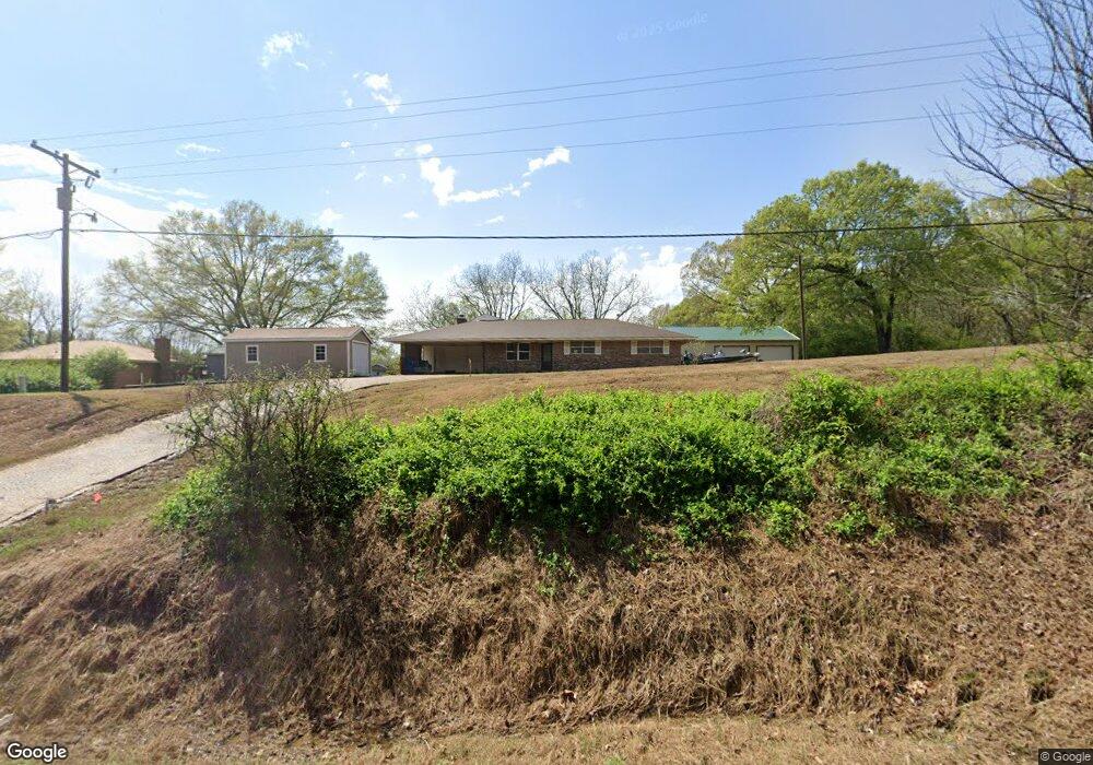
2185 Highway 305 N Olive Branch, MS 38654
Lewisburg NeighborhoodEstimated Value: $265,000 - $339,000
3
Beds
2
Baths
1,580
Sq Ft
$189/Sq Ft
Est. Value
About This Home
This home is located at 2185 Highway 305 N, Olive Branch, MS 38654 and is currently estimated at $298,291, approximately $188 per square foot. 2185 Highway 305 N is a home located in DeSoto County with nearby schools including Lewisburg Primary School, Lewisburg Elementary School, and Lewisburg Middle School.
Ownership History
Date
Name
Owned For
Owner Type
Purchase Details
Closed on
Feb 8, 2019
Sold by
Andersen James Neal
Bought by
Schmidt Michael
Current Estimated Value
Home Financials for this Owner
Home Financials are based on the most recent Mortgage that was taken out on this home.
Original Mortgage
$156,610
Outstanding Balance
$136,854
Interest Rate
4.5%
Mortgage Type
FHA
Estimated Equity
$161,437
Purchase Details
Closed on
Jun 30, 2016
Sold by
Andersen Erica Nicole
Bought by
Andersen James Neal
Create a Home Valuation Report for This Property
The Home Valuation Report is an in-depth analysis detailing your home's value as well as a comparison with similar homes in the area
Home Values in the Area
Average Home Value in this Area
Purchase History
| Date | Buyer | Sale Price | Title Company |
|---|---|---|---|
| Schmidt Michael | -- | Southern Trust Title Company | |
| Andersen James Neal | -- | None Available |
Source: Public Records
Mortgage History
| Date | Status | Borrower | Loan Amount |
|---|---|---|---|
| Open | Schmidt Michael | $156,610 |
Source: Public Records
Tax History Compared to Growth
Tax History
| Year | Tax Paid | Tax Assessment Tax Assessment Total Assessment is a certain percentage of the fair market value that is determined by local assessors to be the total taxable value of land and additions on the property. | Land | Improvement |
|---|---|---|---|---|
| 2025 | $1,334 | $13,208 | $1,000 | $12,208 |
| 2024 | $650 | $9,409 | $1,000 | $8,409 |
| 2023 | $650 | $9,409 | $0 | $0 |
| 2022 | $650 | $9,409 | $1,000 | $8,409 |
| 2021 | $650 | $9,409 | $1,000 | $8,409 |
| 2020 | $582 | $8,737 | $1,000 | $7,737 |
| 2019 | $582 | $8,737 | $1,000 | $7,737 |
| 2017 | $564 | $15,990 | $8,495 | $7,495 |
| 2016 | $864 | $8,495 | $1,000 | $7,495 |
| 2015 | $864 | $15,990 | $8,495 | $7,495 |
| 2014 | $101 | $8,495 | $0 | $0 |
| 2013 | $558 | $8,495 | $0 | $0 |
Source: Public Records
Map
Nearby Homes
- 9100 E Broadway Rd
- 0 Bethel Rd Unit 4096893
- 8900 Elizabeth Cove
- 9278 Bethel Rd
- 1615 Highway 305 N
- 9278 Woolsey Rd
- 5293 Borden Creek Dr
- 5291 Borden Creek Dr
- 8279 Dunn Ln E
- 10203 Woolsey Rd
- Willow Plan at The Orchard
- Huntington Plan at The Orchard
- Albany Plan at The Orchard
- Chestnut Plan at The Orchard
- Bentley Plan at The Orchard
- 9112 Cedar Barn Cove
- 1970 Planter's Dr
- 3344 Belmor Crossing
- 9143 Apple Orchard Cove
- 0 Woolsey Rd
- 2155 Highway 305 N
- 2141 Highway 305 N
- 2121 Highway 305 N
- 9021 Broadway Rd
- 9021 E Broadway Rd
- 4944 Highway 305 N
- 9059 Broadway Rd
- 9026 Broadway Rd
- 9095 Broadway Rd
- 2080 Highway 305 N
- 9064 Broadway Rd
- 9068 Bethel Rd
- 8937 Robertson Ln S
- 9135 Broadway Rd
- 8975 Robertson Ln S
- 2295 Highway 305 N
- 9100 Broadway Rd
- 8875 Robertson Ln S
- 2101 Highway 305 N
- 9100 Bethel Rd