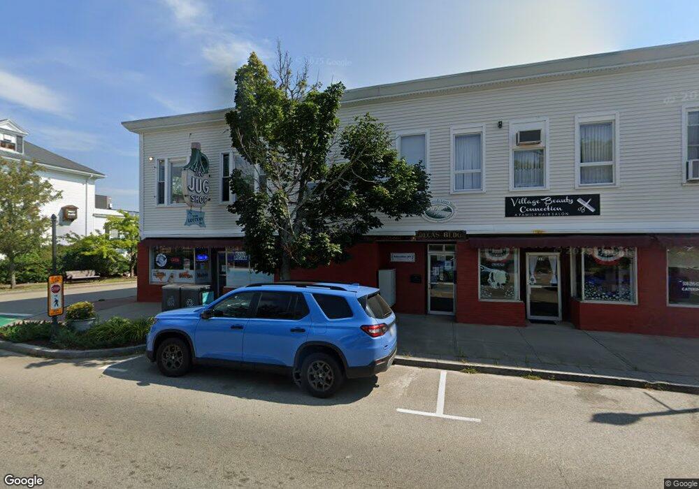
219 Main St Wareham, MA 02571
Wareham Center NeighborhoodEstimated Value: $1,208,666
Studio
7
Baths
12,378
Sq Ft
$98/Sq Ft
Est. Value
About This Home
This home is located at 219 Main St, Wareham, MA 02571 and is currently estimated at $1,208,666, approximately $97 per square foot. 219 Main St is a home located in Plymouth County.
Ownership History
Date
Name
Owned For
Owner Type
Purchase Details
Closed on
Dec 14, 2021
Sold by
Decas Rt and Decas
Bought by
213-219 Main St Llc
Current Estimated Value
Purchase Details
Closed on
Dec 10, 2004
Sold by
Decas John C
Bought by
Schwartz Robert
Create a Home Valuation Report for This Property
The Home Valuation Report is an in-depth analysis detailing your home's value as well as a comparison with similar homes in the area
Home Values in the Area
Average Home Value in this Area
Purchase History
| Date | Buyer | Sale Price | Title Company |
|---|---|---|---|
| 213-219 Main St Llc | $950,000 | None Available | |
| 213-219 Main St Llc | $950,000 | None Available | |
| 213-219 Main St Llc | $950,000 | None Available | |
| Schwartz Robert | -- | -- | |
| Schwartz Robert | -- | -- |
Source: Public Records
Tax History
| Year | Tax Paid | Tax Assessment Tax Assessment Total Assessment is a certain percentage of the fair market value that is determined by local assessors to be the total taxable value of land and additions on the property. | Land | Improvement |
|---|---|---|---|---|
| 2025 | $9,436 | $905,600 | $120,900 | $784,700 |
| 2024 | $10,304 | $917,500 | $100,700 | $816,800 |
| 2023 | $10,204 | $774,200 | $100,700 | $673,500 |
| 2022 | $10,204 | $774,200 | $100,700 | $673,500 |
| 2021 | $10,413 | $774,200 | $100,700 | $673,500 |
| 2020 | $10,266 | $774,200 | $100,700 | $673,500 |
| 2019 | $10,057 | $756,700 | $95,900 | $660,800 |
| 2018 | $10,314 | $756,700 | $95,900 | $660,800 |
| 2017 | $10,178 | $756,700 | $95,900 | $660,800 |
| 2016 | $10,238 | $756,700 | $95,900 | $660,800 |
| 2015 | $9,890 | $756,700 | $95,900 | $660,800 |
| 2014 | $9,838 | $765,600 | $104,800 | $660,800 |
Source: Public Records
Map
Nearby Homes
- 110 Mayflower Ridge Dr
- 437 Main St
- 106 Circuit Ave
- 6 Bourne Terrace
- 10 Oak St
- 4 Mather Dr
- 2645 Cranberry Hwy Unit A
- 3 Cranberry Grove Way Unit C
- 15 Broadmarsh Ave
- 6 Allen Ave
- 2697 Cranberry Hwy Unit 23
- 233 Marion Rd
- 55 Minot Ave Unit 55
- 20 Grant St
- 43 Shore Ave
- 2711 Cranberry Hwy
- 6 Pine St
- 6 Wildwood Ave
- 156 Sandwich Rd
- 21 Bayview St
- 219 Main St Unit D
- 219 Main St Unit F
- 219 Main St Unit C
- 219 Main St Unit B
- 219 Main St Unit 219F
- 219 Main St Unit A
- 207 Main St
- 203 Main St
- 203 Main St Unit 2R
- 203 Main St Unit Left Side
- 208r Main St
- 200R Main St
- 226 Main St
- 196 Main St
- 241 Main St
- 5 Center St
- 191 Main St Unit LL-3
- 191 Main St Unit 104
- 191 Main St Unit 108
- 191 Main St Unit 102
Your Personal Tour Guide
Ask me questions while you tour the home.