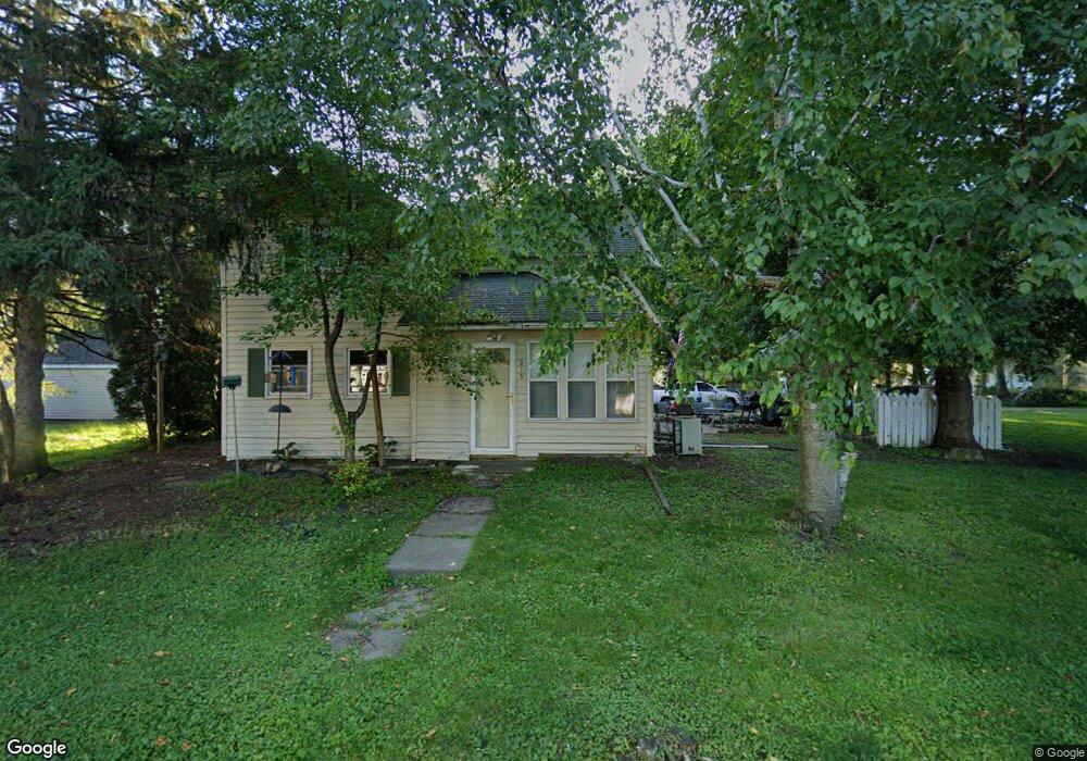
219 S Ewing St Unit 219 Ewing Street Good Thunder, MN 56037
Estimated Value: $149,047 - $233,000
4
Beds
1
Bath
1,632
Sq Ft
$118/Sq Ft
Est. Value
About This Home
This home is located at 219 S Ewing St Unit 219 Ewing Street, Good Thunder, MN 56037 and is currently estimated at $192,012, approximately $117 per square foot. 219 S Ewing St Unit 219 Ewing Street is a home located in Blue Earth County with nearby schools including Maple River Secondary School and St. John Lutheran School.
Ownership History
Date
Name
Owned For
Owner Type
Purchase Details
Closed on
Aug 31, 2017
Sold by
Timmons Greg A
Bought by
Hicks Robert and Hicks Lori
Current Estimated Value
Purchase Details
Closed on
Oct 29, 2009
Sold by
Bartell Evangeline
Bought by
Timmons Grey
Home Financials for this Owner
Home Financials are based on the most recent Mortgage that was taken out on this home.
Original Mortgage
$76,200
Interest Rate
4.96%
Mortgage Type
New Conventional
Create a Home Valuation Report for This Property
The Home Valuation Report is an in-depth analysis detailing your home's value as well as a comparison with similar homes in the area
Home Values in the Area
Average Home Value in this Area
Purchase History
| Date | Buyer | Sale Price | Title Company |
|---|---|---|---|
| Hicks Robert | $98,000 | Title Resource | |
| Timmons Grey | $74,000 | -- |
Source: Public Records
Mortgage History
| Date | Status | Borrower | Loan Amount |
|---|---|---|---|
| Previous Owner | Timmons Grey | $76,200 |
Source: Public Records
Tax History Compared to Growth
Tax History
| Year | Tax Paid | Tax Assessment Tax Assessment Total Assessment is a certain percentage of the fair market value that is determined by local assessors to be the total taxable value of land and additions on the property. | Land | Improvement |
|---|---|---|---|---|
| 2025 | $1,656 | $132,300 | $24,200 | $108,100 |
| 2024 | $1,656 | $124,000 | $24,200 | $99,800 |
| 2023 | $1,838 | $129,300 | $24,200 | $105,100 |
| 2022 | $1,580 | $121,400 | $24,200 | $97,200 |
| 2021 | $1,608 | $94,800 | $24,200 | $70,600 |
| 2020 | $1,224 | $87,900 | $24,200 | $63,700 |
| 2019 | $1,038 | $87,900 | $24,200 | $63,700 |
| 2018 | $1,000 | $74,500 | $18,100 | $56,400 |
| 2017 | $992 | $74,500 | $18,100 | $56,400 |
| 2016 | $976 | $74,500 | $18,100 | $56,400 |
| 2015 | $9 | $70,700 | $18,100 | $52,600 |
| 2014 | $1,110 | $71,500 | $18,100 | $53,400 |
Source: Public Records
Map
Nearby Homes
- 331 S Ewing St
- 721 Main St
- 217 S Houk St
- 210 N Halladay St
- 16280 552nd Ave
- 16225 563rd Ave
- 55997 132nd St
- 305 E Main St
- 205 Park Ave N
- 201 Park Ave N
- 3136 River Meadows Dr
- 120 Mapleridge Dr
- 0 Tbd E 161st St
- E Tbd
- 57396 181st Ln
- 57868 179th St
- 277 Red Ridge Rd
- 103 Calm Ct SW
- 202 Silver St E
- 507 6th Ave NE
- 219 S Ewing St
- 631 Sherman St
- 230 S Halladay St
- 621 Sherman St
- 611 Sherman St
- 621 Willard St
- 210 S Ewing St
- 300 S Halladay St
- 301 S Ewing St
- 218 S Ewing St
- 220 S Ewing St
- 601 Sherman St
- 300 S Ewing St
- 711 Sherman St
- 231 S Halladay St
- 630 630 Sherman St
- 630 Sherman St
- 330 S Halladay St
- 531 Sherman St
- 602 Sherman St