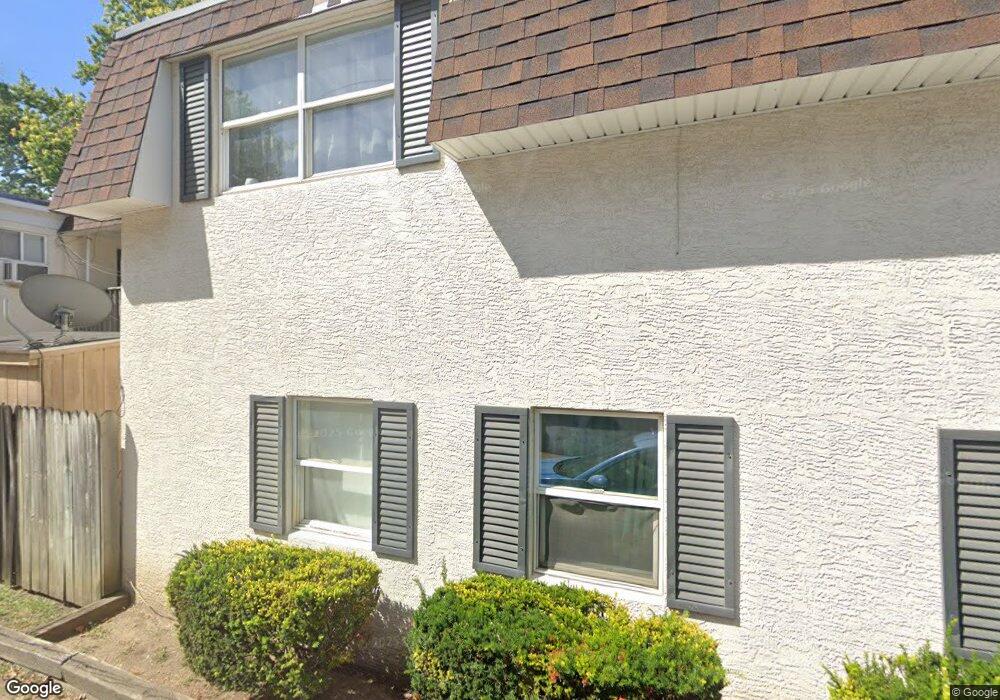
219 W Allen St Lancaster, OH 43130
Estimated Value: $214,718 - $251,000
5
Beds
3
Baths
3,000
Sq Ft
$80/Sq Ft
Est. Value
About This Home
This home is located at 219 W Allen St, Lancaster, OH 43130 and is currently estimated at $238,680, approximately $79 per square foot. 219 W Allen St is a home located in Fairfield County with nearby schools including Thomas Ewing Junior High School, Lancaster High School, and St Mary Elementary School.
Ownership History
Date
Name
Owned For
Owner Type
Purchase Details
Closed on
Dec 30, 2016
Sold by
Reed Dennis E and Reed Patricia A
Bought by
Fairfield Rentals Llc
Current Estimated Value
Home Financials for this Owner
Home Financials are based on the most recent Mortgage that was taken out on this home.
Original Mortgage
$175,000
Outstanding Balance
$81,528
Interest Rate
3.94%
Mortgage Type
New Conventional
Estimated Equity
$157,152
Purchase Details
Closed on
May 5, 1997
Sold by
Fox James E
Bought by
N C J Inc
Create a Home Valuation Report for This Property
The Home Valuation Report is an in-depth analysis detailing your home's value as well as a comparison with similar homes in the area
Home Values in the Area
Average Home Value in this Area
Purchase History
| Date | Buyer | Sale Price | Title Company |
|---|---|---|---|
| Fairfield Rentals Llc | $750,000 | Community Title | |
| N C J Inc | $110,000 | -- |
Source: Public Records
Mortgage History
| Date | Status | Borrower | Loan Amount |
|---|---|---|---|
| Open | Fairfield Rentals Llc | $175,000 |
Source: Public Records
Tax History
| Year | Tax Paid | Tax Assessment Tax Assessment Total Assessment is a certain percentage of the fair market value that is determined by local assessors to be the total taxable value of land and additions on the property. | Land | Improvement |
|---|---|---|---|---|
| 2025 | $6,010 | $90,450 | $16,190 | $74,260 |
| 2024 | $6,010 | $66,850 | $7,270 | $59,580 |
| 2023 | $2,484 | $66,850 | $7,270 | $59,580 |
| 2022 | $2,499 | $66,850 | $7,270 | $59,580 |
| 2021 | $2,278 | $57,120 | $6,290 | $50,830 |
| 2020 | $2,185 | $57,120 | $6,290 | $50,830 |
| 2019 | $2,080 | $57,120 | $6,290 | $50,830 |
| 2018 | $1,886 | $42,210 | $7,270 | $34,940 |
| 2017 | $1,582 | $41,230 | $6,290 | $34,940 |
| 2016 | $1,542 | $41,230 | $6,290 | $34,940 |
| 2015 | $1,597 | $41,450 | $6,290 | $35,160 |
| 2014 | $1,524 | $41,450 | $6,290 | $35,160 |
| 2013 | $1,524 | $41,450 | $6,290 | $35,160 |
Source: Public Records
Map
Nearby Homes
- 526 N Columbus St
- 123 Arnold Ave
- 515 N Columbus St
- 130 W Fair Ave
- 820 N Broad St
- 233 Union St
- 336 Reber Ave
- 330 Park St
- 165 Lake St
- 600 N High St
- 0 Slocum Ave
- 1156 Forest Rose Ave
- 233 E 6th Ave
- 0 Hillside Ave
- 311 E Allen St
- 249 N Pearl Ave
- 113 N George St
- 844 Washington Ave
- 148 Marks Ave
- 520 W Wheeling St
- 219 W Allen St
- 221 W Allen St
- 215 W Allen St
- 705 N Columbus St
- 227 W Allen St
- 707 N Columbus St
- 701 N Columbus St
- 233 W Allen St
- 711 N Columbus St
- 712 Forest Rose Ave
- 716 Forest Rose Ave
- 700 Forest Rose Ave
- 220 W Allen St
- 635 N Columbus St
- 636 Forest Rose Ave
- 226 W Allen St
- 218 North St
- 634 Forest Rose Ave
- 222 North St
- 629 N Columbus St
Your Personal Tour Guide
Ask me questions while you tour the home.