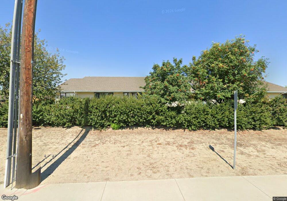
22 31st St W Billings, MT 59102
West End NeighborhoodEstimated Value: $230,000 - $271,000
2
Beds
1
Bath
2,160
Sq Ft
$117/Sq Ft
Est. Value
About This Home
This home is located at 22 31st St W, Billings, MT 59102 and is currently estimated at $253,536, approximately $117 per square foot. 22 31st St W is a home located in Yellowstone County with nearby schools including Meadowlark School, Will James Junior High School, and Billings West High School.
Ownership History
Date
Name
Owned For
Owner Type
Purchase Details
Closed on
May 28, 2009
Sold by
Krumm Todd A and Krumm Leah
Bought by
Roberts Derk
Current Estimated Value
Home Financials for this Owner
Home Financials are based on the most recent Mortgage that was taken out on this home.
Original Mortgage
$137,365
Outstanding Balance
$86,929
Interest Rate
4.8%
Mortgage Type
FHA
Estimated Equity
$166,607
Purchase Details
Closed on
Jan 30, 2006
Sold by
Krumm Todd A
Bought by
Krumm Todd A and Krumm Leah
Create a Home Valuation Report for This Property
The Home Valuation Report is an in-depth analysis detailing your home's value as well as a comparison with similar homes in the area
Home Values in the Area
Average Home Value in this Area
Purchase History
| Date | Buyer | Sale Price | Title Company |
|---|---|---|---|
| Roberts Derk | -- | None Available | |
| Krumm Todd A | -- | None Available |
Source: Public Records
Mortgage History
| Date | Status | Borrower | Loan Amount |
|---|---|---|---|
| Open | Roberts Derk | $137,365 |
Source: Public Records
Tax History Compared to Growth
Tax History
| Year | Tax Paid | Tax Assessment Tax Assessment Total Assessment is a certain percentage of the fair market value that is determined by local assessors to be the total taxable value of land and additions on the property. | Land | Improvement |
|---|---|---|---|---|
| 2025 | $2,227 | $283,000 | $37,603 | $245,397 |
| 2024 | $2,227 | $237,000 | $24,099 | $212,901 |
| 2023 | $2,237 | $237,000 | $24,099 | $212,901 |
| 2022 | $1,705 | $180,600 | $0 | $0 |
| 2021 | $1,871 | $180,600 | $0 | $0 |
| 2020 | $1,852 | $171,900 | $0 | $0 |
| 2019 | $1,766 | $171,900 | $0 | $0 |
| 2018 | $1,670 | $159,100 | $0 | $0 |
| 2017 | $1,473 | $159,100 | $0 | $0 |
| 2016 | $1,540 | $152,800 | $0 | $0 |
| 2015 | $1,506 | $152,800 | $0 | $0 |
| 2014 | $1,550 | $84,164 | $0 | $0 |
Source: Public Records
Map
Nearby Homes
- 3136 Saint Johns Ave
- 3142 Saint Johns Ave
- 3087 Hunters Ridge Loop
- 3220 Lynn Ave
- 3231 Central Ave
- 2930 Lynn Ave
- 3030 Hunters Ridge Loop
- 371 W Daffodil Dr
- 3291 Banff Ave
- 3175 Solar Blvd Unit 14
- 3297 Banff Ave Unit 10
- 2968 Daystar Dr
- 3121 New Hope Dr
- 3121 New Hope Dr Unit 9
- 3482 Shenandoah Dr
- 3468 Shenandoah Dr
- 260 Brookshire Blvd
- 3334 Winchell Ln
- 3340 Tahoe Dr
- 3515-3517 Central
- 18 31st St W
- 16 31st St W
- 24 31st St W
- 3102 Lynn Ave
- 3104 Lynn Ave
- 3109 Central Ave
- 3110 Lynn Ave
- 3101 Lynn Ave
- 3116 Lynn Ave
- 3103 Lynn Ave
- 3109 Lynn Ave
- 3115 Lynn Ave
- 3104 Saint Johns Ave
- 3128 Lynn Ave
- 3102 Saint Johns Ave
- 3121 Lynn Ave
- 3110 Saint Johns Ave
- 7 32nd St W
- 3116 Saint Johns Ave
- 3040 Central Ave