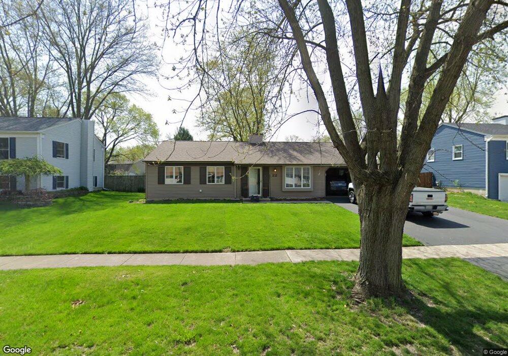
22 Brock Way Oswego, IL 60543
Boulder Hill NeighborhoodEstimated Value: $271,000 - $319,000
--
Bed
--
Bath
1,320
Sq Ft
$222/Sq Ft
Est. Value
About This Home
This home is located at 22 Brock Way, Oswego, IL 60543 and is currently estimated at $293,224, approximately $222 per square foot. 22 Brock Way is a home located in Kendall County with nearby schools including Old Post Elementary School, Thompson Jr. High School, and Oswego High School.
Ownership History
Date
Name
Owned For
Owner Type
Purchase Details
Closed on
Sep 2, 2014
Sold by
Burton Ralph G
Bought by
Watkins Tyle J
Current Estimated Value
Purchase Details
Closed on
Dec 13, 2002
Sold by
Burton Ralph
Bought by
Burton Ralph G and Burton Jeanne M
Purchase Details
Closed on
Oct 29, 2002
Sold by
Va
Bought by
Burton Ralph
Create a Home Valuation Report for This Property
The Home Valuation Report is an in-depth analysis detailing your home's value as well as a comparison with similar homes in the area
Home Values in the Area
Average Home Value in this Area
Purchase History
| Date | Buyer | Sale Price | Title Company |
|---|---|---|---|
| Watkins Tyle J | $105,000 | First American Title | |
| Burton Ralph G | -- | -- | |
| Burton Ralph | -- | -- |
Source: Public Records
Tax History Compared to Growth
Tax History
| Year | Tax Paid | Tax Assessment Tax Assessment Total Assessment is a certain percentage of the fair market value that is determined by local assessors to be the total taxable value of land and additions on the property. | Land | Improvement |
|---|---|---|---|---|
| 2024 | $5,772 | $77,721 | $21,511 | $56,210 |
| 2023 | $5,797 | $78,812 | $20,884 | $57,928 |
| 2022 | $5,797 | $73,656 | $19,518 | $54,138 |
| 2021 | $5,556 | $65,381 | $18,241 | $47,140 |
| 2020 | $5,373 | $62,866 | $17,539 | $45,327 |
| 2019 | $4,891 | $56,954 | $17,539 | $39,415 |
| 2018 | $4,595 | $51,970 | $16,004 | $35,966 |
| 2017 | $4,295 | $47,898 | $14,750 | $33,148 |
| 2016 | $1,973 | $43,943 | $13,532 | $30,411 |
| 2015 | $1,892 | $40,688 | $12,530 | $28,158 |
| 2014 | -- | $39,123 | $12,048 | $27,075 |
| 2013 | -- | $41,182 | $12,682 | $28,500 |
Source: Public Records
Map
Nearby Homes
- 4 Circle Ct
- 22 Sherwick Rd
- 10 Crofton Rd
- 9 Cebold Dr
- 47 Old Post Rd
- 38 Ashlawn Ave
- 40 Codorus Rd
- 39 Cayman Dr
- 3 Orchard Rd
- 123 Orchard Rd
- 2 Orchard Rd
- 420 Chesterfield Ct Unit 420
- 3 Scarsdale Rd
- 43 Hampton Rd
- 28 Seneca Dr
- 119 Garden Dr
- 117 Boulder Hill Pass Unit 117
- 30 Hampton Rd
- 19 Wyndham Dr Unit 10
- 141 River Mist Dr