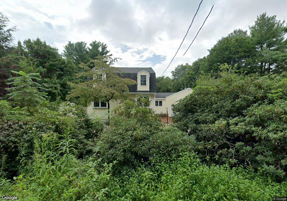
22 Jordan Rd Franklin, MA 02038
Estimated Value: $816,681 - $970,000
3
Beds
3
Baths
2,584
Sq Ft
$347/Sq Ft
Est. Value
About This Home
This home is located at 22 Jordan Rd, Franklin, MA 02038 and is currently estimated at $896,670, approximately $347 per square foot. 22 Jordan Rd is a home located in Norfolk County with nearby schools including Remington Middle School, Franklin High School, and Benjamin Franklin Classical Charter Public School.
Ownership History
Date
Name
Owned For
Owner Type
Purchase Details
Closed on
Aug 7, 2025
Sold by
Debenedictis Robert L Est and Debenedictis
Bought by
Debenedictis Donna
Current Estimated Value
Purchase Details
Closed on
Dec 10, 2018
Sold by
Debenedictis Gene E
Bought by
Debenedictis Robert L
Create a Home Valuation Report for This Property
The Home Valuation Report is an in-depth analysis detailing your home's value as well as a comparison with similar homes in the area
Home Values in the Area
Average Home Value in this Area
Purchase History
| Date | Buyer | Sale Price | Title Company |
|---|---|---|---|
| Debenedictis Donna | -- | -- | |
| Debenedictis Donna | -- | -- | |
| Debenedictis Robert L | -- | -- | |
| Debenedictis Robert L | -- | -- |
Source: Public Records
Tax History Compared to Growth
Tax History
| Year | Tax Paid | Tax Assessment Tax Assessment Total Assessment is a certain percentage of the fair market value that is determined by local assessors to be the total taxable value of land and additions on the property. | Land | Improvement |
|---|---|---|---|---|
| 2025 | $8,108 | $697,800 | $333,700 | $364,100 |
| 2024 | $7,842 | $665,100 | $333,700 | $331,400 |
| 2023 | $7,815 | $621,200 | $289,800 | $331,400 |
| 2022 | $7,201 | $512,500 | $219,600 | $292,900 |
| 2021 | $7,029 | $479,800 | $244,100 | $235,700 |
| 2020 | $6,564 | $452,400 | $227,900 | $224,500 |
| 2019 | $6,512 | $444,200 | $219,900 | $224,300 |
| 2018 | $6,116 | $417,500 | $215,800 | $201,700 |
| 2017 | $5,882 | $403,400 | $201,700 | $201,700 |
| 2016 | $5,588 | $385,400 | $204,300 | $181,100 |
| 2015 | $5,642 | $380,200 | $199,100 | $181,100 |
| 2014 | $5,140 | $355,700 | $174,600 | $181,100 |
Source: Public Records
Map
Nearby Homes
- 324 Pleasant St
- 266 Pleasant St
- 67 Milliken Ave Unit 22
- 150 Pleasant St
- 1 Uncas Ave
- 11 Elliot Mills Unit 11
- 159 E Central St
- 76 Dean Ave
- 48 Pinehurst St
- 17 Longhill Rd
- 12 Waites Crossing Way
- 64 Uncas Ave
- 70 Uncas Ave
- 90 E Central St Unit 103
- 90 E Central St Unit 106
- 90 E Central St Unit 304
- 90 E Central St Unit 202
- 90 E Central St Unit 105
- 90 E Central St Unit 301
- 40 Cross St