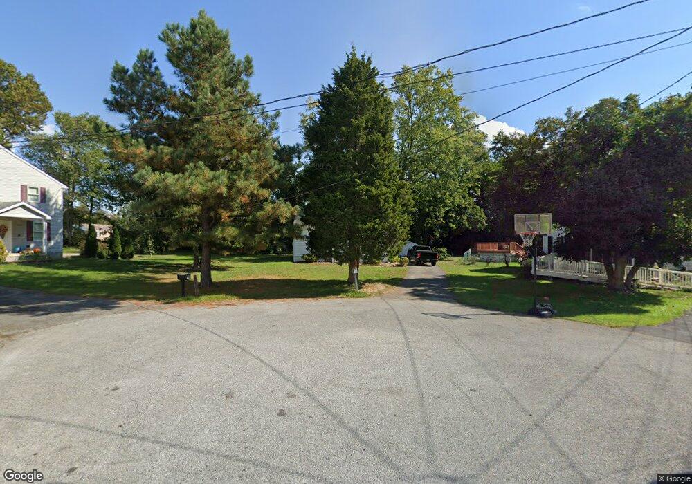
22 Locust Rd Wilmington, DE 19808
Estimated Value: $197,000 - $319,000
2
Beds
1
Bath
792
Sq Ft
$319/Sq Ft
Est. Value
About This Home
This home is located at 22 Locust Rd, Wilmington, DE 19808 and is currently estimated at $252,266, approximately $318 per square foot. 22 Locust Rd is a home located in New Castle County with nearby schools including Anna P. Mote Elementary School, Stanton Middle School, and Thomas McKean High School.
Ownership History
Date
Name
Owned For
Owner Type
Purchase Details
Closed on
Aug 29, 2023
Sold by
Summers Roger C
Bought by
Cruz Fernando and Nava Monserrat Cruz
Current Estimated Value
Home Financials for this Owner
Home Financials are based on the most recent Mortgage that was taken out on this home.
Original Mortgage
$160,000
Interest Rate
6.55%
Purchase Details
Closed on
Feb 15, 2001
Sold by
Baich Barbara A
Bought by
Summers Roger C
Home Financials for this Owner
Home Financials are based on the most recent Mortgage that was taken out on this home.
Original Mortgage
$76,000
Interest Rate
7.08%
Create a Home Valuation Report for This Property
The Home Valuation Report is an in-depth analysis detailing your home's value as well as a comparison with similar homes in the area
Home Values in the Area
Average Home Value in this Area
Purchase History
| Date | Buyer | Sale Price | Title Company |
|---|---|---|---|
| Cruz Fernando | $170,000 | None Listed On Document | |
| Summers Roger C | $95,000 | -- |
Source: Public Records
Mortgage History
| Date | Status | Borrower | Loan Amount |
|---|---|---|---|
| Previous Owner | Cruz Fernando | $160,000 | |
| Previous Owner | Summers Roger C | $76,000 |
Source: Public Records
Tax History Compared to Growth
Tax History
| Year | Tax Paid | Tax Assessment Tax Assessment Total Assessment is a certain percentage of the fair market value that is determined by local assessors to be the total taxable value of land and additions on the property. | Land | Improvement |
|---|---|---|---|---|
| 2024 | $1,334 | $36,100 | $11,500 | $24,600 |
| 2023 | $1,177 | $36,100 | $11,500 | $24,600 |
| 2022 | $1,191 | $36,100 | $11,500 | $24,600 |
| 2021 | $103 | $36,100 | $11,500 | $24,600 |
| 2020 | $103 | $36,100 | $11,500 | $24,600 |
| 2019 | $103 | $36,100 | $11,500 | $24,600 |
| 2018 | $1,169 | $36,100 | $11,500 | $24,600 |
| 2017 | $1,155 | $36,100 | $11,500 | $24,600 |
| 2016 | $1,103 | $36,100 | $11,500 | $24,600 |
| 2015 | -- | $36,100 | $11,500 | $24,600 |
| 2014 | -- | $36,100 | $11,500 | $24,600 |
Source: Public Records
Map
Nearby Homes
- 3704 Evelyn Dr
- 3810 Katherine Ave
- 2608 Newport Gap Pike
- 3838 Eunice Ave
- 3841 Katherine Ave
- 13 Center Cir
- 2422 W Parris Dr
- 3423 Clayton Ave
- 603 Milltown Rd
- 2628 Newell Dr
- 2620 Maclary Dr
- 8 Tarragon Ct
- 3419 LOT 3 Old Capitol Trail
- 3419 LOT 2 Old Capitol Trail
- 3419 LOT 4 Old Capitol Trail
- 5 Overlook Ave
- 908 Bradley Dr
- 3206 Dunlap Dr
- 2410 Hammond Place
- 2414 Horace Dr