22 Thompson Point Ln East Andover, NH 03231
Estimated Value: $708,000 - $808,000
2
Beds
3
Baths
2,564
Sq Ft
$301/Sq Ft
Est. Value
About This Home
This home is located at 22 Thompson Point Ln, East Andover, NH 03231 and is currently estimated at $770,973, approximately $300 per square foot. 22 Thompson Point Ln is a home with nearby schools including Andover Elementary Middle School and Merrimack Valley High School.
Ownership History
Date
Name
Owned For
Owner Type
Purchase Details
Closed on
Jul 13, 2007
Sold by
Frank S Baker T
Bought by
Baker Susan G
Current Estimated Value
Home Financials for this Owner
Home Financials are based on the most recent Mortgage that was taken out on this home.
Original Mortgage
$100,000
Interest Rate
6.48%
Mortgage Type
Purchase Money Mortgage
Create a Home Valuation Report for This Property
The Home Valuation Report is an in-depth analysis detailing your home's value as well as a comparison with similar homes in the area
Home Values in the Area
Average Home Value in this Area
Purchase History
| Date | Buyer | Sale Price | Title Company |
|---|---|---|---|
| Baker Susan G | $350,000 | -- |
Source: Public Records
Mortgage History
| Date | Status | Borrower | Loan Amount |
|---|---|---|---|
| Open | Baker Susan G | $65,000 | |
| Closed | Baker Susan G | $96,000 | |
| Closed | Baker Susan G | $100,000 |
Source: Public Records
Tax History Compared to Growth
Tax History
| Year | Tax Paid | Tax Assessment Tax Assessment Total Assessment is a certain percentage of the fair market value that is determined by local assessors to be the total taxable value of land and additions on the property. | Land | Improvement |
|---|---|---|---|---|
| 2024 | $11,413 | $779,600 | $238,000 | $541,600 |
| 2023 | $9,914 | $432,000 | $123,800 | $308,200 |
| 2022 | $8,080 | $381,300 | $123,800 | $257,500 |
| 2021 | $7,973 | $381,300 | $123,800 | $257,500 |
| 2020 | $8,137 | $381,300 | $123,800 | $257,500 |
| 2019 | $8,251 | $381,300 | $123,800 | $257,500 |
| 2018 | $6,825 | $297,500 | $91,700 | $205,800 |
| 2017 | $6,801 | $297,500 | $91,700 | $205,800 |
| 2016 | $5,938 | $279,300 | $91,700 | $187,600 |
| 2015 | $5,552 | $279,300 | $91,700 | $187,600 |
| 2014 | $5,578 | $273,700 | $91,700 | $182,000 |
| 2013 | $5,239 | $279,400 | $101,500 | $177,900 |
Source: Public Records
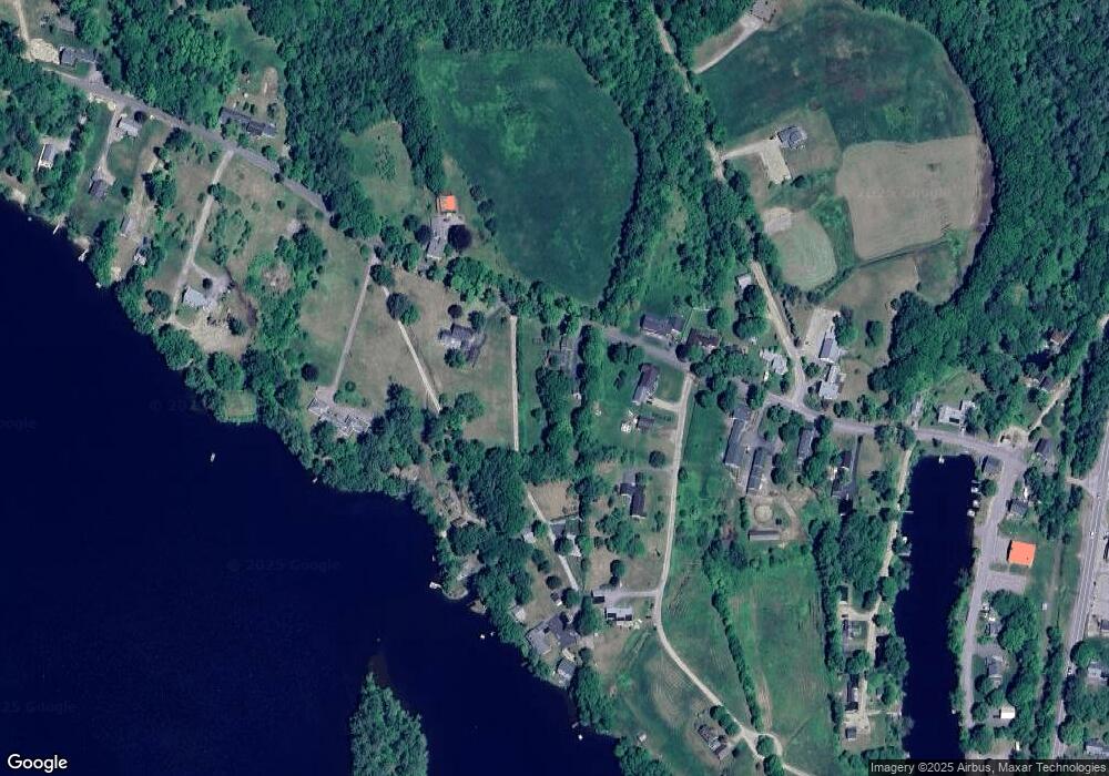
Map
Nearby Homes
- 32 Maple St
- Lot 02 Franklin Hwy
- 161 Tucker Mountain Rd
- 131 Flaghole Rd
- 0 Putney Rd Unit 433
- 32 Monticello Dr
- 2 Monticello Dr
- 97 Salisbury Hwy
- 215 Lake Shore Dr
- 428 N Rd
- 428 North Rd
- 151 Beech Hill Rd
- 192 Beech Hill Rd
- 0 Beech Hill Rd Unit 370 5046361
- 28 Pine Colony Rd
- 53 Lark St
- 36 Lark St
- 54 Snow Rd
- 8 Smiling Hill Rd
- 69 Lake Ave