Estimated Value: $274,758 - $313,000
--
Bed
1
Bath
954
Sq Ft
$313/Sq Ft
Est. Value
About This Home
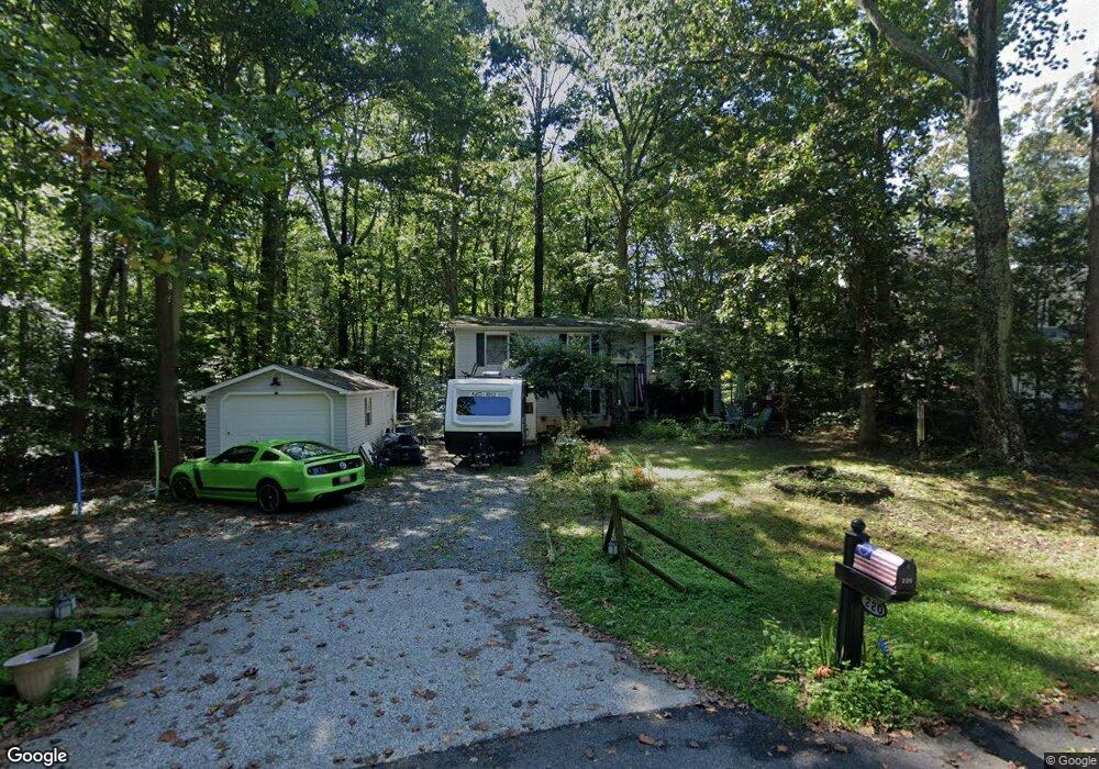
This home is located at 220 Michael Dr, Lusby, MD 20657 and is currently estimated at $298,440, approximately $312 per square foot. 220 Michael Dr is a home located in Calvert County with nearby schools including St Leonard Elementary School, Southern Middle School, and Calvert High School.
Ownership History
Date
Name
Owned For
Owner Type
Purchase Details
Closed on
Jun 5, 2003
Sold by
Glass Mark A and Glass Mary T
Bought by
Glass Mark Allen
Current Estimated Value
Purchase Details
Closed on
Sep 1, 1989
Sold by
Martin Clifton C and Martin Bertha U
Bought by
Glass Mark A and Glass Mary T
Home Financials for this Owner
Home Financials are based on the most recent Mortgage that was taken out on this home.
Original Mortgage
$88,800
Interest Rate
10.22%
Purchase Details
Closed on
Sep 7, 1988
Sold by
Randall Leonard and Randall Lois
Bought by
Martin Clifton C and Martin Bertha U
Create a Home Valuation Report for This Property
The Home Valuation Report is an in-depth analysis detailing your home's value as well as a comparison with similar homes in the area
Home Values in the Area
Average Home Value in this Area
Purchase History
| Date | Buyer | Sale Price | Title Company |
|---|---|---|---|
| Glass Mark Allen | -- | -- | |
| Glass Mark A | $87,000 | -- | |
| Martin Clifton C | $10,000 | -- |
Source: Public Records
Mortgage History
| Date | Status | Borrower | Loan Amount |
|---|---|---|---|
| Previous Owner | Glass Mark A | $88,800 |
Source: Public Records
Tax History Compared to Growth
Tax History
| Year | Tax Paid | Tax Assessment Tax Assessment Total Assessment is a certain percentage of the fair market value that is determined by local assessors to be the total taxable value of land and additions on the property. | Land | Improvement |
|---|---|---|---|---|
| 2025 | $2,411 | $216,100 | $0 | $0 |
| 2024 | $2,411 | $203,300 | $0 | $0 |
| 2023 | $2,193 | $190,500 | $83,200 | $107,300 |
| 2022 | $2,132 | $184,900 | $0 | $0 |
| 2021 | $2,018 | $179,300 | $0 | $0 |
| 2020 | $2,018 | $173,700 | $83,200 | $90,500 |
| 2019 | $1,983 | $169,733 | $0 | $0 |
| 2018 | $1,928 | $165,767 | $0 | $0 |
| 2017 | $1,908 | $161,800 | $0 | $0 |
| 2016 | -- | $161,800 | $0 | $0 |
| 2015 | $2,220 | $161,800 | $0 | $0 |
| 2014 | $2,220 | $173,900 | $0 | $0 |
Source: Public Records
Map
Nearby Homes
- 8524 Stock Dr
- 8554 Stock Dr
- 9235 Pardoe Rd
- 8408 Sailboat Ln
- 8446 Pine Blvd
- 8540 Perch Ct
- 8465 Pine Blvd
- 8453 Pine Blvd
- 8449 Pine Blvd
- 8520 Pine Blvd
- 7930 Camelot Ct
- 8533 Pine Blvd
- 572 Evergreen Ct
- 580 Evergreen Ct
- 8225 Cedar Ln
- 709 Spruce Dr
- 720 Willow Rd
- 8310 Circle Dr
- 8248 Power Dr
- 7825 Schooner Dr
- 216 Michael Dr
- 226 Michael Dr Unit MC
- 226 Michael Dr
- 8540 Daryl Dr
- 210 Michael Dr Unit MC
- 210 Michael Dr
- 263 Michael Dr Unit MC
- 8544 Daryl Dr
- 215 Michael Dr
- 302 Michael Ct
- 222 Michael Dr Unit MC
- 8543 Stock Dr
- 8533 Daryl Dr
- 225 Michael Dr Unit MC
- 8526 Daryl Dr
- 218 Michael Dr Unit MC
- 204 Michael Dr
- 8539 Daryl Dr
- 214 Michael Dr Unit MC
- 301 Michael Ct