220 Steve Bryan Ln Morrison, TN 37357
Estimated Value: $399,000 - $657,679
Studio
2
Baths
2,350
Sq Ft
$216/Sq Ft
Est. Value
About This Home
This home is located at 220 Steve Bryan Ln, Morrison, TN 37357 and is currently estimated at $507,893, approximately $216 per square foot. 220 Steve Bryan Ln is a home located in Coffee County with nearby schools including East Coffee Elementary School, Coffee County Middle School, and Coffee County Central High School.
Ownership History
Date
Name
Owned For
Owner Type
Purchase Details
Closed on
Aug 15, 2025
Sold by
Bryan James S and Bryan Eleanor
Bought by
Buttercup Lane Trust
Current Estimated Value
Purchase Details
Closed on
Apr 30, 2010
Sold by
Bryan James D
Bought by
Neal Pamela D
Purchase Details
Closed on
Sep 25, 1990
Bought by
Bryan James S and Bryan Eleanor
Purchase Details
Closed on
Dec 6, 1988
Create a Home Valuation Report for This Property
The Home Valuation Report is an in-depth analysis detailing your home's value as well as a comparison with similar homes in the area
Purchase History
| Date | Buyer | Sale Price | Title Company |
|---|---|---|---|
| Buttercup Lane Trust | -- | None Listed On Document | |
| Buttercup Lane Trust | -- | None Listed On Document | |
| Neal Pamela D | $15,000 | -- | |
| Bryan James S | -- | -- | |
| -- | $74,000 | -- |
Source: Public Records
Tax History
| Year | Tax Paid | Tax Assessment Tax Assessment Total Assessment is a certain percentage of the fair market value that is determined by local assessors to be the total taxable value of land and additions on the property. | Land | Improvement |
|---|---|---|---|---|
| 2025 | $1,892 | $81,175 | $32,875 | $48,300 |
| 2024 | $1,892 | $81,175 | $32,875 | $48,300 |
| 2023 | $1,892 | $81,175 | $0 | $0 |
| 2022 | $1,892 | $81,175 | $32,875 | $48,300 |
| 2021 | $1,956 | $66,700 | $26,525 | $40,175 |
| 2020 | $1,956 | $66,700 | $26,525 | $40,175 |
| 2019 | $1,956 | $66,700 | $26,525 | $40,175 |
| 2018 | $1,956 | $66,700 | $26,525 | $40,175 |
| 2017 | $2,078 | $63,700 | $25,100 | $38,600 |
| 2016 | $2,078 | $63,700 | $25,100 | $38,600 |
| 2015 | $2,078 | $63,700 | $25,100 | $38,600 |
| 2014 | -- | $63,709 | $0 | $0 |
Source: Public Records
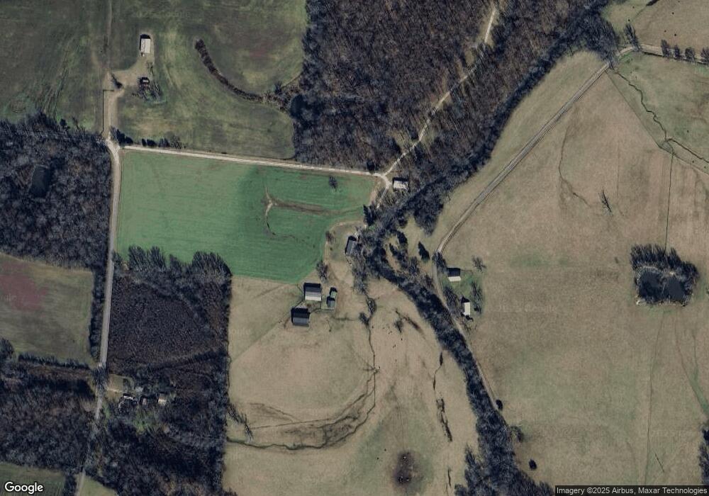
Map
Nearby Homes
- 631 W Maple St
- 101 S Mill St
- 0 Ramsey Rd
- 511 N Main St
- 431 S Fair St
- 120 Boyd St
- 00 Marcrom Rd
- 0 Marcrom Rd
- 2357 Beacon Light Rd Unit 1
- 2100 Beacon Light Rd Unit 6
- 2100 Beacon Light Rd Unit 4
- 2100 Beacon Light Rd Unit 8
- 2100 Beacon Light Rd Unit 9
- 2100 Beacon Light Rd Unit 3
- 2100 Beacon Light Rd Unit 11
- 2100 Beacon Light Rd Unit 5
- 2100 Beacon Light Rd Unit 10
- 2100 Beacon Light Rd Unit 7
- 2100 Beacon Light Rd Unit 2
- 0 Mcafee Rd
- 1575 Tic Tac Mill Rd
- 689 Garner Rd
- 357 Water Mill Rd
- 1030 Tic Tac Mill Rd
- 358 Water Mill Rd
- 330 Water Mill Rd
- 968 Garner Rd
- 445 Liza Ln
- 2083 Hickory Grove Rd
- 1567 Old Manchester Rd
- 10325 McMinnville Hwy
- 1367 Old Manchester Rd
- 10717 McMinnville Hwy Unit 10717
- 22 Crompton St
- 121 E View Dr
- 556 Tic Tac Mill Rd
- 4509 Fountain Grove Rd
- 611 Tic Tac Mill Rd
- 12232 Manchester Hwy
- 9780 McMinnville Hwy
Your Personal Tour Guide
Ask me questions while you tour the home.