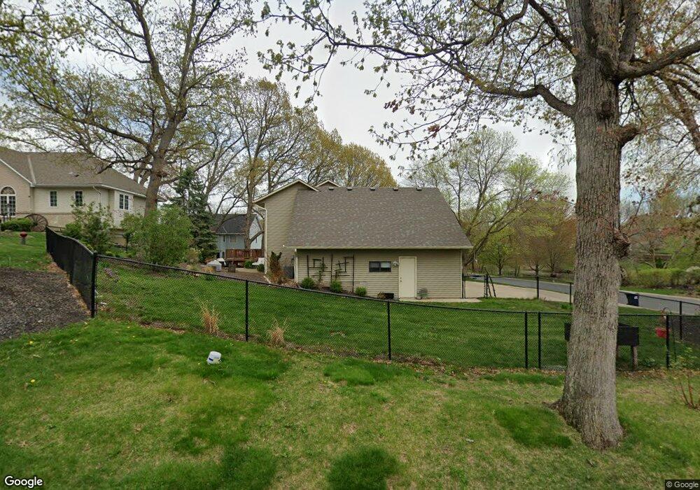
2203 Storland Rd Saint Paul, MN 55122
Estimated Value: $551,000 - $595,000
4
Beds
4
Baths
3,167
Sq Ft
$181/Sq Ft
Est. Value
About This Home
This home is located at 2203 Storland Rd, Saint Paul, MN 55122 and is currently estimated at $572,134, approximately $180 per square foot. 2203 Storland Rd is a home located in Dakota County with nearby schools including Oak Ridge Elementary School, Black Hawk Middle School, and Eastview Senior High School.
Ownership History
Date
Name
Owned For
Owner Type
Purchase Details
Closed on
Feb 29, 2016
Sold by
Shannon Johnson Susan E and Johnson David M
Bought by
Bartos Stephen
Current Estimated Value
Home Financials for this Owner
Home Financials are based on the most recent Mortgage that was taken out on this home.
Original Mortgage
$303,210
Outstanding Balance
$241,100
Interest Rate
3.79%
Mortgage Type
New Conventional
Estimated Equity
$331,034
Purchase Details
Closed on
Oct 23, 2003
Sold by
Hvezda Mark and Hvezda Ramona
Bought by
Johnson David and Johnson Susan
Create a Home Valuation Report for This Property
The Home Valuation Report is an in-depth analysis detailing your home's value as well as a comparison with similar homes in the area
Home Values in the Area
Average Home Value in this Area
Purchase History
| Date | Buyer | Sale Price | Title Company |
|---|---|---|---|
| Bartos Stephen | $336,900 | Edina Realty Title Inc | |
| Johnson David | $335,500 | -- |
Source: Public Records
Mortgage History
| Date | Status | Borrower | Loan Amount |
|---|---|---|---|
| Open | Bartos Stephen | $303,210 |
Source: Public Records
Tax History Compared to Growth
Tax History
| Year | Tax Paid | Tax Assessment Tax Assessment Total Assessment is a certain percentage of the fair market value that is determined by local assessors to be the total taxable value of land and additions on the property. | Land | Improvement |
|---|---|---|---|---|
| 2024 | $5,654 | $510,000 | $142,600 | $367,400 |
| 2023 | $5,654 | $517,400 | $143,000 | $374,400 |
| 2022 | $4,386 | $451,500 | $139,500 | $312,000 |
| 2021 | $4,260 | $391,600 | $121,300 | $270,300 |
| 2020 | $4,284 | $372,300 | $115,500 | $256,800 |
| 2019 | $3,824 | $364,900 | $110,000 | $254,900 |
| 2018 | $3,739 | $344,800 | $104,800 | $240,000 |
| 2017 | $3,822 | $327,500 | $99,800 | $227,700 |
| 2016 | $3,811 | $319,700 | $95,000 | $224,700 |
| 2015 | $3,728 | $307,636 | $92,369 | $215,267 |
| 2014 | -- | $306,001 | $89,789 | $216,212 |
| 2013 | -- | $281,694 | $80,773 | $200,921 |
Source: Public Records
Map
Nearby Homes
- 247 River Woods Ln
- 4774 Slater Rd
- 221 River Woods Ln
- 319 River Woods Ln
- 12640 Tiffany Ct
- 188 River Woods Ln
- 2107 Kings Rd
- 146 River Woods Ln
- 145 River Woods Ln
- 12068 Gantry Ln
- 12625 Sable Dr
- 2100 Viburnum Trail
- 101 Hidden Meadow Ct
- 2065 Kings Rd
- 4632 Westwood Ln
- 55 River Woods Ln
- 72 River Woods Ln
- 3309 Red Oak Cir N
- 12044 Gantry Ln
- 109 Cimarron Ct
- 4894 Woods Ct
- 2199 Storland Rd
- 4893 Storland Ct
- 4899 Woods Ct
- 4895 Woods Ct
- 4890 Woods Ct
- 2206 Storland Rd
- 4889 Storland Ct
- 4891 Woods Ct
- 4886 Woods Ct
- 4884 Storland Ct
- 2195 Storland Rd
- 2207 Marilyn Ave
- 2203 Marilyn Ave
- 2211 Marilyn Ave
- 4892 Storland Ct
- 4887 Woods Ct
- 4888 Storland Ct
- 2199 Marilyn Ave
- 2225 Wall St