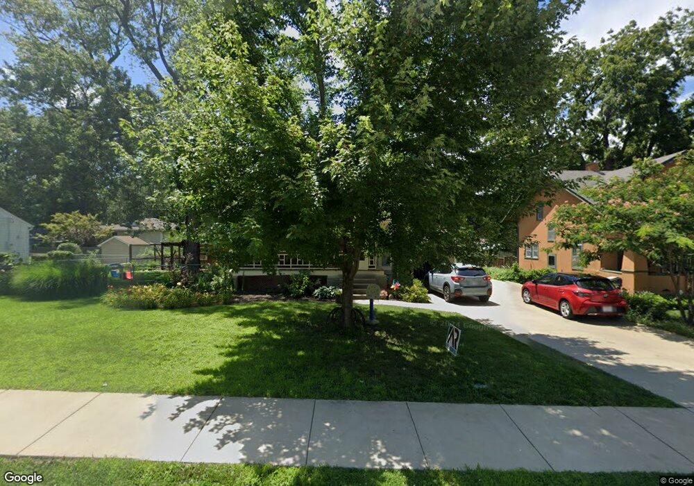
2207 Barker Ave Lawrence, KS 66046
Barker NeighborhoodEstimated Value: $323,000 - $407,000
3
Beds
2
Baths
1,478
Sq Ft
$253/Sq Ft
Est. Value
About This Home
This home is located at 2207 Barker Ave, Lawrence, KS 66046 and is currently estimated at $374,293, approximately $253 per square foot. 2207 Barker Ave is a home located in Douglas County with nearby schools including Cordley Elementary School, Liberty Memorial Central Middle School, and Lawrence High School.
Ownership History
Date
Name
Owned For
Owner Type
Purchase Details
Closed on
Sep 15, 2020
Sold by
Ulbrick Rachael E
Bought by
Rudeen Aaron James
Current Estimated Value
Home Financials for this Owner
Home Financials are based on the most recent Mortgage that was taken out on this home.
Original Mortgage
$277,400
Outstanding Balance
$245,718
Interest Rate
2.8%
Mortgage Type
New Conventional
Estimated Equity
$128,575
Create a Home Valuation Report for This Property
The Home Valuation Report is an in-depth analysis detailing your home's value as well as a comparison with similar homes in the area
Home Values in the Area
Average Home Value in this Area
Purchase History
| Date | Buyer | Sale Price | Title Company |
|---|---|---|---|
| Rudeen Aaron James | -- | Continental Title Company |
Source: Public Records
Mortgage History
| Date | Status | Borrower | Loan Amount |
|---|---|---|---|
| Open | Rudeen Aaron James | $277,400 |
Source: Public Records
Tax History
| Year | Tax Paid | Tax Assessment Tax Assessment Total Assessment is a certain percentage of the fair market value that is determined by local assessors to be the total taxable value of land and additions on the property. | Land | Improvement |
|---|---|---|---|---|
| 2025 | $5,789 | $46,495 | $10,350 | $36,145 |
| 2024 | $5,368 | $43,183 | $8,625 | $34,558 |
| 2023 | $5,127 | $39,836 | $6,900 | $32,936 |
| 2022 | $4,697 | $36,283 | $4,600 | $31,683 |
| 2021 | $4,489 | $33,580 | $4,368 | $29,212 |
| 2020 | $3,896 | $29,337 | $4,368 | $24,969 |
| 2019 | $3,892 | $29,336 | $3,798 | $25,538 |
| 2018 | $3,091 | $23,196 | $3,571 | $19,625 |
| 2017 | $2,868 | $21,310 | $3,571 | $17,739 |
| 2016 | $2,647 | $20,562 | $4,884 | $15,678 |
| 2015 | $2,602 | $20,217 | $4,884 | $15,333 |
| 2014 | $2,508 | $19,688 | $4,884 | $14,804 |
Source: Public Records
Map
Nearby Homes
- 2208 Massachusetts St
- 2106 Rhode Island St
- 2115 Massachusetts St
- 2301 Massachusetts St
- 2046 Kentucky St
- 314 Oklahoma St
- 5629 Johnson Ave
- 5701 Johnson Ave
- 5804 Johnson Ave
- 5625 Johnson Ave
- 1741 Tennessee St Unit 1-4
- 1625 Pennsylvania St
- 1831 Illinois St
- 1800 Illinois St
- 2014 Maple Ln
- 1736 Brook St
- 2725 Ponderosa Dr
- 1801 Missouri St
- 925 W 27th Terrace
- 2703 Bonanza St
- 2201 Barker Ave
- 2208 Rhode Island St
- 2217 Barker Ave
- 2212 Rhode Island St
- 2223 Barker Ave
- 2210 Barker Ave
- 2220 Rhode Island St
- 2200 Barker Ave
- 2145 Barker Ave
- 2224 Barker Ave
- 2146 Rhode Island St
- 2225 Barker Ave
- 2140 Barker Ave
- 2209 Rhode Island St
- 2201 Rhode Island St
- 2213 Rhode Island St
- 2231 Barker Ave
- 2217 Rhode Island St
- 2230 Rhode Island St
- 2136 Rhode Island St