2216 Perth Dr Modesto, CA 95355
Northeast Modesto NeighborhoodEstimated Value: $353,000 - $454,000
3
Beds
2
Baths
1,588
Sq Ft
$268/Sq Ft
Est. Value
About This Home
This home is located at 2216 Perth Dr, Modesto, CA 95355 and is currently estimated at $424,847, approximately $267 per square foot. 2216 Perth Dr is a home located in Stanislaus County with nearby schools including Orchard Elementary School, Daniel J. Savage Middle School, and James C. Enochs High School.
Ownership History
Date
Name
Owned For
Owner Type
Purchase Details
Closed on
Nov 15, 2007
Sold by
Richmond Atwell L and Richmond Adelaida L
Bought by
Richmond Atwell L and Richmond Adelaida L
Current Estimated Value
Purchase Details
Closed on
Jun 7, 1999
Sold by
Noralco Inc
Bought by
Richmond Atwell and Richmond Adelaida
Home Financials for this Owner
Home Financials are based on the most recent Mortgage that was taken out on this home.
Original Mortgage
$141,250
Outstanding Balance
$37,102
Interest Rate
7.24%
Estimated Equity
$387,745
Create a Home Valuation Report for This Property
The Home Valuation Report is an in-depth analysis detailing your home's value as well as a comparison with similar homes in the area
Home Values in the Area
Average Home Value in this Area
Purchase History
We collect this data history from publicly available records. To have your information removed, we recommend requesting removal directly through your county’s website.
| Date | Buyer | Sale Price | Title Company |
|---|---|---|---|
| Richmond Atwell L | -- | None Available | |
| Richmond Atwell | $149,000 | Chicago Title Co |
Source: Public Records
Mortgage History
We collect this data history from publicly available records. To have your information removed, we recommend requesting removal directly through your county’s website.
| Date | Status | Borrower | Loan Amount |
|---|---|---|---|
| Open | Richmond Atwell | $141,250 |
Source: Public Records
Tax History
| Year | Tax Paid | Tax Assessment Tax Assessment Total Assessment is a certain percentage of the fair market value that is determined by local assessors to be the total taxable value of land and additions on the property. | Land | Improvement |
|---|---|---|---|---|
| 2025 | $2,444 | $228,221 | $46,096 | $182,125 |
| 2024 | $2,399 | $223,747 | $45,193 | $178,554 |
| 2023 | $2,352 | $219,360 | $44,307 | $175,053 |
| 2022 | $2,255 | $215,060 | $43,439 | $171,621 |
| 2021 | $2,214 | $210,844 | $42,588 | $168,256 |
| 2020 | $2,181 | $208,683 | $42,152 | $166,531 |
| 2019 | $2,140 | $204,592 | $41,326 | $163,266 |
| 2018 | $2,097 | $200,581 | $40,516 | $160,065 |
| 2017 | $2,045 | $196,649 | $39,722 | $156,927 |
| 2016 | $2,032 | $192,794 | $38,944 | $153,850 |
| 2015 | $2,001 | $189,900 | $38,360 | $151,540 |
| 2014 | $1,992 | $186,181 | $37,609 | $148,572 |
Source: Public Records
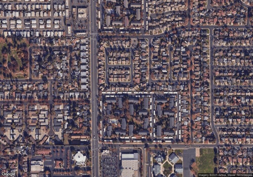
Map
Nearby Homes
- 2113 Milford Ln
- 2325 Manor Oak Dr
- 2101 Milford Ln
- 2204 Orchard Park Way
- 2400 Walnut Grove Way
- 2307 Oakdale Rd Unit 13
- 2100 Preston Ln
- 1933 Lifetime Dr
- 2533 Merle Ave
- 1837 Celeste Dr
- 2401 Ellison Dr
- 1813 Butternut Ct
- 1909 Devin Dr
- 2700 Espana Ln
- 1820 Celeste Dr
- 2604 Lincoln Oak Ct
- 2708 Lake Front Ct
- 0 Claus Rd Unit 225136410
- 2800 Penhurst
- 2213 Lionudakis Ct
- 2213 Perth Dr
- 2217 Perth Dr
- 2212 Curzon Dr
- 2216 Curzon Dr
- 2205 Perth Dr
- 2208 Curzon Dr
- 2212 Perth Dr
- 2204 Curzon Dr
- 2208 Perth Dr
- 2201 Perth Dr
- 2008 Gaslight Dr
- 2220 Perth Dr
- 2004 Gaslight Dr
- 209 Curzon Dr
- 2012 Gaslight Dr
- 2204 Perth Dr
- 2200 Curzon Dr
- 2000 Gaslight Dr
- 2016 Gaslight Dr
- 2213 Curzon Dr
Your Personal Tour Guide
Ask me questions while you tour the home.