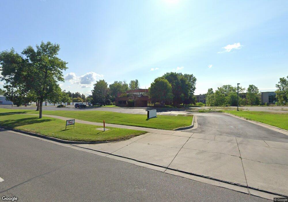
2220 Grant Rd Billings, MT 59102
West End Neighborhood
--
Bed
--
Bath
24,200
Sq Ft
1.52
Acres
About This Home
This home is located at 2220 Grant Rd, Billings, MT 59102. 2220 Grant Rd is a home located in Yellowstone County with nearby schools including Elysian Elementary School, Elysian School, and Billings West High School.
Ownership History
Date
Name
Owned For
Owner Type
Purchase Details
Closed on
Jul 30, 2025
Sold by
Matthew Cary Morton and Robin L Morton Trust
Bought by
2220 Grant Road Llc
Purchase Details
Closed on
Feb 13, 2017
Sold by
Morton Robin L
Bought by
Morton Christopher and Morton Cary
Purchase Details
Closed on
Jan 1, 2013
Sold by
Morton Robin L
Bought by
Morton Christopher and Morton Cary
Purchase Details
Closed on
Dec 20, 2012
Sold by
Morton Robin L
Bought by
Morton Christopher and Morton Cary
Purchase Details
Closed on
Jun 23, 2006
Sold by
Solo Productions Llp
Bought by
Morton Robin L and Robin L Morton Trust
Home Financials for this Owner
Home Financials are based on the most recent Mortgage that was taken out on this home.
Original Mortgage
$663,219
Interest Rate
6.63%
Mortgage Type
Commercial
Purchase Details
Closed on
Dec 19, 1991
Sold by
Robin L Morton Trust
Bought by
Morton Christopher L and Morton Malcolm C
Create a Home Valuation Report for This Property
The Home Valuation Report is an in-depth analysis detailing your home's value as well as a comparison with similar homes in the area
Home Values in the Area
Average Home Value in this Area
Purchase History
| Date | Buyer | Sale Price | Title Company |
|---|---|---|---|
| 2220 Grant Road Llc | -- | None Listed On Document | |
| Morton Christopher | -- | None Available | |
| Morton Christopher | -- | None Available | |
| Morton Christopher | -- | None Available | |
| Morton Robin L | -- | None Available | |
| Morton Christopher L | -- | -- |
Source: Public Records
Mortgage History
| Date | Status | Borrower | Loan Amount |
|---|---|---|---|
| Previous Owner | Morton Robin L | $663,219 |
Source: Public Records
Tax History Compared to Growth
Tax History
| Year | Tax Paid | Tax Assessment Tax Assessment Total Assessment is a certain percentage of the fair market value that is determined by local assessors to be the total taxable value of land and additions on the property. | Land | Improvement |
|---|---|---|---|---|
| 2025 | $44,776 | $3,935,500 | $614,672 | $3,320,828 |
| 2024 | $44,776 | $3,800,700 | $476,267 | $3,324,433 |
| 2023 | $36,381 | $3,031,900 | $476,267 | $2,555,633 |
| 2022 | $32,991 | $2,448,500 | $0 | $0 |
| 2021 | $30,195 | $2,448,500 | $0 | $0 |
| 2020 | $34,906 | $2,769,600 | $0 | $0 |
| 2019 | $33,050 | $2,769,600 | $0 | $0 |
| 2018 | $33,426 | $2,717,900 | $0 | $0 |
| 2017 | $28,834 | $2,717,900 | $0 | $0 |
| 2016 | $32,118 | $2,791,600 | $0 | $0 |
| 2015 | $31,335 | $2,791,600 | $0 | $0 |
| 2014 | $31,360 | $2,068,122 | $0 | $0 |
Source: Public Records
Map
Nearby Homes
- 2225 Rosebud Dr
- 669 S 22nd St W
- 2014 George St
- 2109 George St
- 2016 Monad Rd
- 240 Birchwood Dr
- 14 Bonanza Dr
- 46 Vista Dr
- 6114 Northstead Ave
- 6152 Northstead Ave
- 1 Bonanza Dr
- 43 Roundup Dr
- 6170 Elysian Rd Unit 103-203
- 2 Mcbride St
- 1884 St Peter Ln
- 126 Ardmore Dr
- 2150 Eldorado Dr
- 362 Phyllis Cir E
- 102 S Santa fe Dr
- 1686 Saint George Blvd
- 2021 Overland Ave
- 2270 Grant Rd
- 2280 Grant Rd
- 2060 Overland Ave
- 2290 Grant Rd
- 2110 Overland Ave
- 0 King Park Dr
- 2170 Overland Ave
- 1911 King
- 712 Carbon St
- 712 Carbon Suite B St
- 670 King Park Dr
- 691 S 22nd St W
- 689 S 22nd St W
- 2230 Rosebud Dr
- 679 S 22nd St W
- 681 S 22nd St W
- 2302 Rosebud Dr
- 2303 Henesta Dr
- 2205 Rosebud Dr