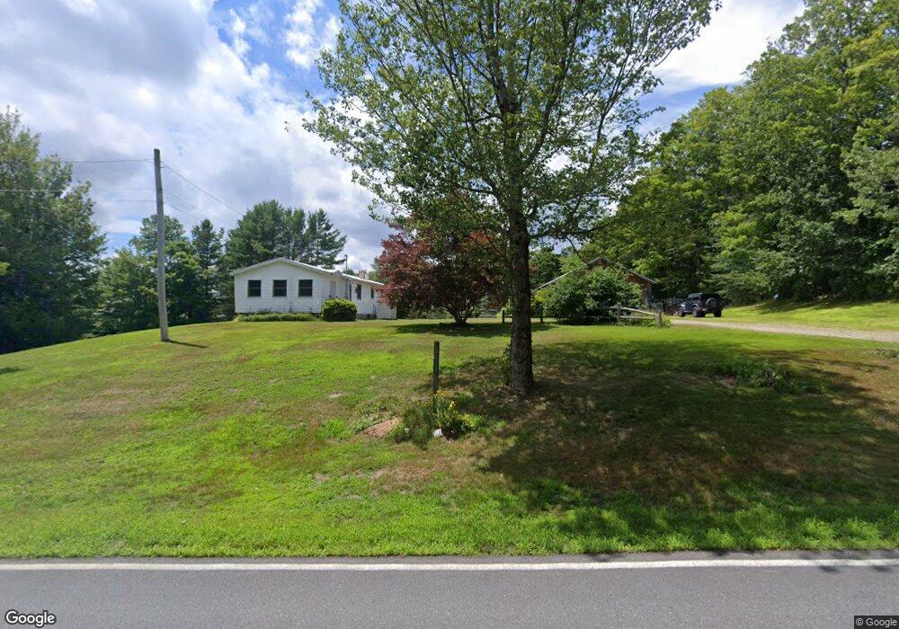
223 Route 8a N Charlemont, MA 01339
Heath NeighborhoodEstimated Value: $430,702 - $447,000
3
Beds
2
Baths
1,876
Sq Ft
$235/Sq Ft
Est. Value
About This Home
This home is located at 223 Route 8a N, Charlemont, MA 01339 and is currently estimated at $441,176, approximately $235 per square foot. 223 Route 8a N is a home located in Franklin County with nearby schools including Mohawk Trail Regional High School.
Ownership History
Date
Name
Owned For
Owner Type
Purchase Details
Closed on
May 5, 2025
Sold by
Griswold Heidi and Griswold Kelly
Bought by
Brisson Daniel J
Current Estimated Value
Home Financials for this Owner
Home Financials are based on the most recent Mortgage that was taken out on this home.
Original Mortgage
$336,000
Outstanding Balance
$334,212
Interest Rate
6.67%
Mortgage Type
Purchase Money Mortgage
Estimated Equity
$106,964
Purchase Details
Closed on
Jul 28, 1998
Sold by
Crowningshield Howard and Crowningshield V J
Bought by
Griswold Heidi and Griswold Kelly
Home Financials for this Owner
Home Financials are based on the most recent Mortgage that was taken out on this home.
Original Mortgage
$38,000
Interest Rate
6.99%
Mortgage Type
Purchase Money Mortgage
Create a Home Valuation Report for This Property
The Home Valuation Report is an in-depth analysis detailing your home's value as well as a comparison with similar homes in the area
Home Values in the Area
Average Home Value in this Area
Purchase History
| Date | Buyer | Sale Price | Title Company |
|---|---|---|---|
| Brisson Daniel J | $420,000 | None Available | |
| Brisson Daniel J | $420,000 | None Available | |
| Griswold Heidi | $38,000 | -- | |
| Griswold Heidi | $38,000 | -- |
Source: Public Records
Mortgage History
| Date | Status | Borrower | Loan Amount |
|---|---|---|---|
| Open | Brisson Daniel J | $336,000 | |
| Closed | Brisson Daniel J | $336,000 | |
| Previous Owner | Griswold Heidi | $46,325 | |
| Previous Owner | Griswold Heidi | $38,000 |
Source: Public Records
Tax History
| Year | Tax Paid | Tax Assessment Tax Assessment Total Assessment is a certain percentage of the fair market value that is determined by local assessors to be the total taxable value of land and additions on the property. | Land | Improvement |
|---|---|---|---|---|
| 2025 | $6,409 | $340,700 | $50,200 | $290,500 |
| 2024 | $6,642 | $325,100 | $46,200 | $278,900 |
| 2023 | $666 | $302,800 | $33,000 | $269,800 |
| 2022 | $6,376 | $296,400 | $33,000 | $263,400 |
| 2021 | $637 | $278,000 | $31,400 | $246,600 |
| 2020 | $590 | $234,500 | $28,800 | $205,700 |
| 2019 | $5,186 | $240,100 | $32,700 | $207,400 |
| 2018 | $5,237 | $240,100 | $32,700 | $207,400 |
| 2017 | $4,884 | $232,700 | $32,100 | $200,600 |
| 2016 | $4,793 | $233,700 | $32,100 | $201,600 |
| 2015 | $4,685 | $234,700 | $32,100 | $202,600 |
Source: Public Records
Map
Nearby Homes
- 594 Massachusetts 8a
- 442 Mcmillan Rd
- 1192 Chapel Hill Rd
- 2173 Vermont 8a
- Lot 121 Davis Mine Rd
- 251 Phillips Hill Rd
- 8 Deer Run Path
- 829 Pennel Hill Rd
- 1033 Burrington Hill Rd
- 104 Karen Day Rd
- 1587 Upper Holbrook Rd
- 292 Deer Hill Rd
- 843 Kentfield Rd
- 201 Ford Hill Rd
- 233 Poverty Row
- 127 County Rd
- 0 W Oxbow Rd Unit 73453651
- 0 W Oxbow Rd Unit 248444
- 295 Jacksonville Rd
- 0 Potters Rd Unit 248445
- 13 W Branch Rd
- 25 W Branch Rd
- 13 W Branch Rd
- 250 Route 8a N
- 0 Sadoga Rd Unit 70479764
- 0 Sadoga Rd Unit 70069223
- 0 Sadoga Rd Unit 70591639
- 0 Sadoga Rd Unit 30437502
- 0 Sadoga Rd Unit 72489715
- 260 Route 8a N
- 0 Sadoga Rd
- 19 Sadoga Rd
- 562 Route 8a
- 574 Route 8a
- 17 Sadoga Rd
- 12 Sadoga Rd
- 0 Brunelle Rd
- 64 Brunelle Rd
- 38 Brunelle Rd
Your Personal Tour Guide
Ask me questions while you tour the home.