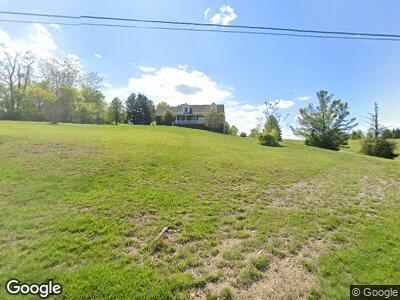
2265 Canal Ln Georgetown, IN 47122
Estimated Value: $372,000 - $548,269
3
Beds
4
Baths
2,352
Sq Ft
$191/Sq Ft
Est. Value
About This Home
This home is located at 2265 Canal Ln, Georgetown, IN 47122 and is currently estimated at $449,067, approximately $190 per square foot. 2265 Canal Ln is a home located in Floyd County with nearby schools including Georgetown Elementary School, Highland Hills Middle School, and Floyd Central High School.
Ownership History
Date
Name
Owned For
Owner Type
Purchase Details
Closed on
Nov 1, 2008
Sold by
Brumley Kyle and Brumley Brooklyn
Bought by
Guyton Linda H
Current Estimated Value
Home Financials for this Owner
Home Financials are based on the most recent Mortgage that was taken out on this home.
Original Mortgage
$280,912
Interest Rate
6%
Mortgage Type
FHA
Purchase Details
Closed on
Aug 17, 2007
Sold by
Mann Mark and Mann Theresa
Bought by
Brumley Kyle and Brumley Brooklyn
Create a Home Valuation Report for This Property
The Home Valuation Report is an in-depth analysis detailing your home's value as well as a comparison with similar homes in the area
Home Values in the Area
Average Home Value in this Area
Purchase History
| Date | Buyer | Sale Price | Title Company |
|---|---|---|---|
| Guyton Linda H | -- | None Available | |
| Brumley Kyle | -- | None Available |
Source: Public Records
Mortgage History
| Date | Status | Borrower | Loan Amount |
|---|---|---|---|
| Open | Guyton Linda H | $35,000 | |
| Open | Guyton Linda H | $205,000 | |
| Closed | Guyton Linda H | $256,000 | |
| Closed | Guyton Linda H | $280,912 |
Source: Public Records
Tax History Compared to Growth
Tax History
| Year | Tax Paid | Tax Assessment Tax Assessment Total Assessment is a certain percentage of the fair market value that is determined by local assessors to be the total taxable value of land and additions on the property. | Land | Improvement |
|---|---|---|---|---|
| 2024 | $3,574 | $446,200 | $56,700 | $389,500 |
| 2023 | $3,574 | $414,000 | $56,700 | $357,300 |
| 2022 | $3,332 | $369,100 | $56,700 | $312,400 |
| 2021 | $2,996 | $335,300 | $56,700 | $278,600 |
| 2020 | $2,756 | $314,600 | $56,700 | $257,900 |
| 2019 | $2,691 | $317,500 | $56,700 | $260,800 |
| 2018 | $2,321 | $277,400 | $56,700 | $220,700 |
| 2017 | $2,991 | $277,900 | $56,700 | $221,200 |
| 2016 | $2,295 | $277,900 | $56,700 | $221,200 |
| 2014 | $2,853 | $289,700 | $56,700 | $233,000 |
| 2013 | -- | $271,800 | $56,700 | $215,100 |
Source: Public Records
Map
Nearby Homes
- 8126 Autumn Dr
- 8056 Hudson Ln
- 7013 Dylan (Lot 418) Cir
- 1 +/- AC Cooks Mill Rd
- 9375 State Road 64
- 1015 Oskin Dr
- 1029 Oskin Dr Unit 226
- 1031 Oskin Dr Unit 227
- 7505 Evergreen Way
- 1026 Oskin Dr Unit 208
- 7012 Dylan (Lot 405) Cir
- 9410 Wolfe Cemetery Rd
- 7418 Cove Way
- 9605 Cooks Mill Rd
- 128 Walts Rd
- 0 Wolfe Cemetery Rd
- 3886 Highland Lake Dr
- 8104 Zelpha Blvd
- 9002 Haylyn Ln
- 3995 Edwardsville Galena Rd
- 2265 Canal Ln
- 0 Canal Ln Unit 200802859
- 0 Canal Ln Unit 201101537
- 0 Canal Ln Unit 201504759
- 0 Canal Ln Unit 201603408
- 2141 Canal Ln
- 2391 Canal Ln
- 2271 Canal Ln
- 2346 Canal Ln
- 2036 Canal Ln
- 8503 Davis Ct
- 2390 Canal Ln
- 2390 Canal Ln
- 2031 Canal Ln
- 8505 Davis Ct
- 2300 Canal Ln
- 2280 Canal Ln
- 8507 Davis Ct
- 2030 Canal Ln
- 8502 Davis Ct