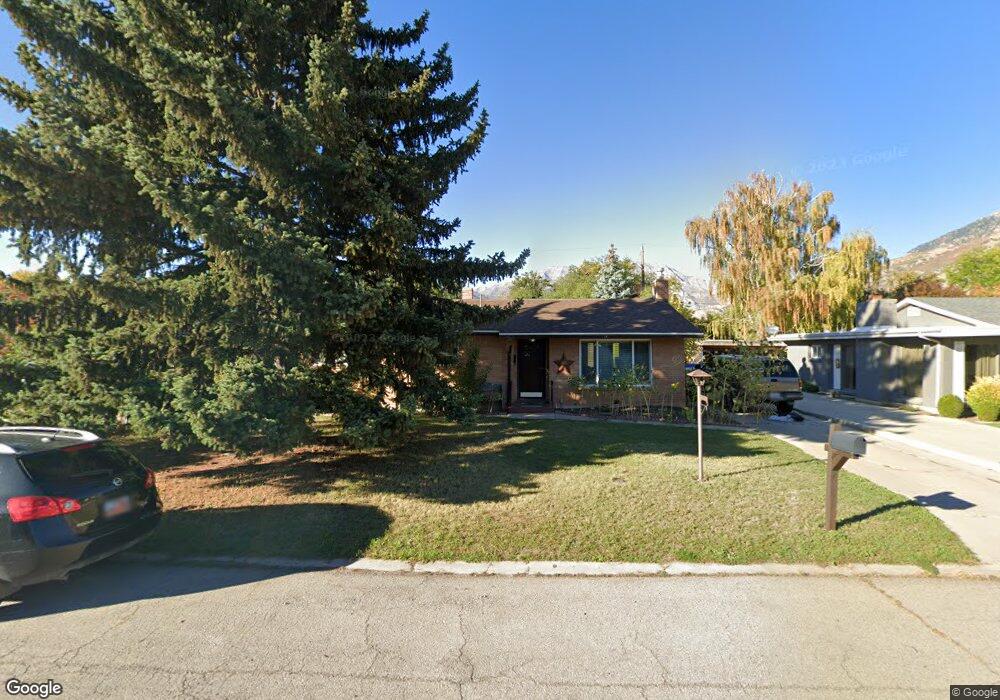
227 E 3060 N Provo, UT 84604
Rock Canyon NeighborhoodEstimated Value: $431,000 - $531,000
3
Beds
2
Baths
1,139
Sq Ft
$408/Sq Ft
Est. Value
About This Home
This home is located at 227 E 3060 N, Provo, UT 84604 and is currently estimated at $464,924, approximately $408 per square foot. 227 E 3060 N is a home located in Utah County with nearby schools including Edgemont School, Centennial Middle School, and Timpview High School.
Ownership History
Date
Name
Owned For
Owner Type
Purchase Details
Closed on
Mar 9, 2017
Sold by
Atwood Micah E and Atwood Penny J
Bought by
Dreimal Llc
Current Estimated Value
Purchase Details
Closed on
May 8, 2008
Sold by
Merkel William Clark
Bought by
Atwood Micah E and Atwood Penny J
Create a Home Valuation Report for This Property
The Home Valuation Report is an in-depth analysis detailing your home's value as well as a comparison with similar homes in the area
Home Values in the Area
Average Home Value in this Area
Purchase History
| Date | Buyer | Sale Price | Title Company |
|---|---|---|---|
| Dreimal Llc | -- | Provo Land Title Co | |
| Atwood Micah E | -- | Pro Title & Escrow Inc |
Source: Public Records
Tax History
| Year | Tax Paid | Tax Assessment Tax Assessment Total Assessment is a certain percentage of the fair market value that is determined by local assessors to be the total taxable value of land and additions on the property. | Land | Improvement |
|---|---|---|---|---|
| 2025 | $2,166 | $220,825 | -- | -- |
| 2024 | $2,166 | $213,235 | $0 | $0 |
| 2023 | $2,082 | $202,015 | $0 | $0 |
| 2022 | $2,061 | $201,630 | $0 | $0 |
| 2021 | $1,593 | $271,800 | $168,500 | $103,300 |
| 2020 | $1,511 | $241,700 | $140,400 | $101,300 |
| 2019 | $1,373 | $228,500 | $140,400 | $88,100 |
| 2018 | $1,223 | $206,400 | $129,800 | $76,600 |
| 2017 | $1,124 | $104,225 | $0 | $0 |
| 2016 | $990 | $85,580 | $0 | $0 |
| 2015 | $916 | $79,970 | $0 | $0 |
| 2014 | $826 | $75,240 | $0 | $0 |
Source: Public Records
Map
Nearby Homes
- 3025 N 250 E
- 3221 Shadowbrook Cir
- 3057 N 100 W
- 3013 N 100 W
- 3305 N Shadowbrook Cir
- 111 Candlewood Place
- 3240 Shadowbrook Dr
- 2999 N Marrcrest West Dr
- 2774 N 370 E
- 2939 N Marrcrest Dr W
- 5600 N Canyon Rd
- 2735 N Country Club Dr
- 158 Woodside Dr
- 758 E 3030 N
- 3711 N Canyon Rd
- 3129 Cherokee Ln
- 788 E 2680 N
- 407 E 3900 Rd N Unit 1
- 407 E 3900 Rd N
- 2254 N 390 E
Your Personal Tour Guide
Ask me questions while you tour the home.