228 Logan St Port Townsend, WA 98368
Estimated Value: $1,986,798
--
Bed
6
Baths
9,762
Sq Ft
$204/Sq Ft
Est. Value
About This Home
This home is located at 228 Logan St, Port Townsend, WA 98368 and is currently estimated at $1,986,798, approximately $203 per square foot. 228 Logan St is a home located in Jefferson County with nearby schools including Grant Street Elementary School, Blue Heron Middle School, and Port Townsend High School.
Ownership History
Date
Name
Owned For
Owner Type
Purchase Details
Closed on
Jan 14, 2005
Sold by
Tatarian Vertkes and Tatarian Jill
Bought by
Teregis Mike C and Teregis Marion Jill
Current Estimated Value
Home Financials for this Owner
Home Financials are based on the most recent Mortgage that was taken out on this home.
Original Mortgage
$456,900
Interest Rate
5.69%
Mortgage Type
Commercial
Create a Home Valuation Report for This Property
The Home Valuation Report is an in-depth analysis detailing your home's value as well as a comparison with similar homes in the area
Home Values in the Area
Average Home Value in this Area
Purchase History
| Date | Buyer | Sale Price | Title Company |
|---|---|---|---|
| Teregis Mike C | $761,500 | First American Title |
Source: Public Records
Mortgage History
| Date | Status | Borrower | Loan Amount |
|---|---|---|---|
| Open | Teregis Michael C | $465,000 | |
| Closed | Teregis Mike C | $456,900 |
Source: Public Records
Tax History Compared to Growth
Tax History
| Year | Tax Paid | Tax Assessment Tax Assessment Total Assessment is a certain percentage of the fair market value that is determined by local assessors to be the total taxable value of land and additions on the property. | Land | Improvement |
|---|---|---|---|---|
| 2023 | $11,345 | $1,265,020 | $450,348 | $814,672 |
| 2022 | $9,366 | $1,216,226 | $440,348 | $775,878 |
| 2021 | $9,709 | $966,393 | $259,183 | $707,210 |
| 2020 | $9,959 | $966,393 | $259,183 | $707,210 |
| 2019 | $6,259 | $966,393 | $259,183 | $707,210 |
| 2018 | $7,034 | $659,100 | $219,000 | $440,100 |
| 2017 | $6,585 | $647,600 | $207,500 | $440,100 |
| 2016 | $6,331 | $647,600 | $207,500 | $440,100 |
| 2015 | $6,385 | $647,600 | $207,500 | $440,100 |
| 2014 | -- | $647,600 | $207,500 | $440,100 |
| 2013 | -- | $647,600 | $207,500 | $440,100 |
Source: Public Records
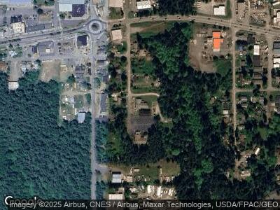
Map
Nearby Homes
- 2125 4th St
- 1532 W Sims Way
- 0 Lots 3&4 Grant St Unit NWM2367916
- 545 Hendricks St Unit 21A
- 545 Hendricks St Unit 16A
- 545 Hendricks St Unit 10A
- 51 Vista Blvd
- 312 Cleveland St
- 2078 11th St
- 9999 Hendricks St
- 10 NKA Wilson St
- 850 10th St
- 999 Jackman St
- 2997 Hancock St
- 2475 15th St
- 555 Rainier St
- 2012 Queen Anne Place
- 0 Sherman St
- 2252 Towne Point Ave
- 2182 Beacon Place