2280 Houston Point Dr Whitefish, MT 59937
Estimated Value: $1,982,000 - $2,407,000
4
Beds
4
Baths
3,778
Sq Ft
$568/Sq Ft
Est. Value
About This Home
This home is located at 2280 Houston Point Dr, Whitefish, MT 59937 and is currently estimated at $2,145,745, approximately $567 per square foot. 2280 Houston Point Dr is a home located in Flathead County with nearby schools including L.A. Muldown School, Whitefish Middle School, and Whitefish High School.
Ownership History
Date
Name
Owned For
Owner Type
Purchase Details
Closed on
Sep 16, 2011
Sold by
Graham Robert H and Graham Jacqueline K
Bought by
Nickell Hunter R and Nickell Kimberly H
Current Estimated Value
Home Financials for this Owner
Home Financials are based on the most recent Mortgage that was taken out on this home.
Original Mortgage
$296,000
Outstanding Balance
$203,761
Interest Rate
4.37%
Mortgage Type
New Conventional
Estimated Equity
$1,941,984
Create a Home Valuation Report for This Property
The Home Valuation Report is an in-depth analysis detailing your home's value as well as a comparison with similar homes in the area
Home Values in the Area
Average Home Value in this Area
Purchase History
| Date | Buyer | Sale Price | Title Company |
|---|---|---|---|
| Nickell Hunter R | -- | First American Title Company |
Source: Public Records
Mortgage History
| Date | Status | Borrower | Loan Amount |
|---|---|---|---|
| Open | Nickell Hunter R | $296,000 |
Source: Public Records
Tax History Compared to Growth
Tax History
| Year | Tax Paid | Tax Assessment Tax Assessment Total Assessment is a certain percentage of the fair market value that is determined by local assessors to be the total taxable value of land and additions on the property. | Land | Improvement |
|---|---|---|---|---|
| 2025 | $10,828 | $2,109,000 | $0 | $0 |
| 2024 | $6,701 | $1,339,200 | $0 | $0 |
| 2023 | $6,864 | $1,339,200 | $0 | $0 |
| 2022 | $6,749 | $912,900 | $0 | $0 |
| 2021 | $7,540 | $912,900 | $0 | $0 |
| 2020 | $7,070 | $863,000 | $0 | $0 |
| 2019 | $7,615 | $863,000 | $0 | $0 |
| 2018 | $7,902 | $881,900 | $0 | $0 |
| 2017 | $7,395 | $881,900 | $0 | $0 |
| 2016 | $6,821 | $805,639 | $0 | $0 |
| 2015 | $6,905 | $805,639 | $0 | $0 |
| 2014 | $4,709 | $322,725 | $0 | $0 |
Source: Public Records
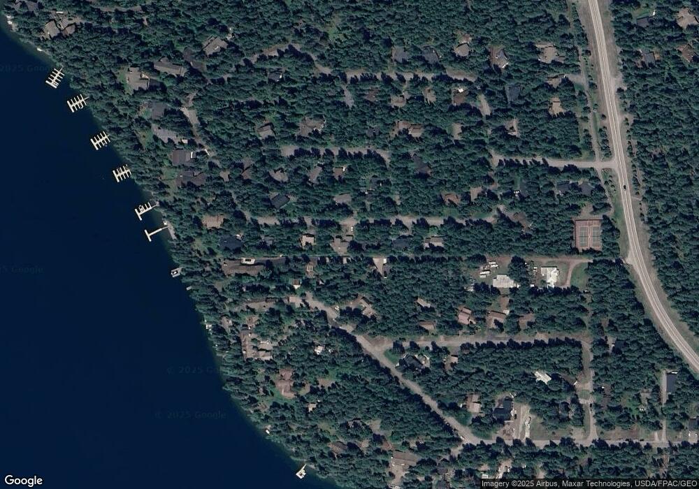
Map
Nearby Homes
- 156 Duff Ln
- 2130 Houston Dr
- 2316 Houston Point Dr
- NHN E Lakeshore Dr
- 122 Kinnikinnik Cir
- 1963 Ridge Crest Dr
- 1922 Sun Crest Dr Unit 1
- 1939 Sun Crest Dr
- 1992 Ridge Crest Dr
- 1750 E Lakeshore Dr Unit 212
- 2120 Iron Horse Dr Unit 11
- 113 S Prairiesmoke Cir
- 1825 W Lakeshore Dr
- 1400 Wisconsin Ave Unit 108
- 1400 Wisconsin Ave Unit 308
- 715 Lm Beach Ln
- 245 Glenwood Rd
- 1380 Wisconsin Ave Unit Room 341
- 2521 E Lakeshore Dr
- 1644 W Lakeshore Dr
- 2282 Houston Point Dr
- 2278 Houston Point Dr
- 2281 Houston Point Dr
- 2322 Houston Dr
- 2284 Houston Point Dr
- 2276 Houston Point Dr
- 2285 Houston Point Dr
- 2279 Houston Point Dr
- 2175 Houston Dr
- 2308 Houston Cir
- 2312 Houston Cir
- 2190 Houston Dr
- 2186 Houston Dr
- 2194 Houston Dr
- 2316 Houston Cir
- 161 Duff Ln
- 2274 Houston Point Dr
- 2304 Houston Cir
- 2289 Houston Point Dr
- 2286 Houston Cir