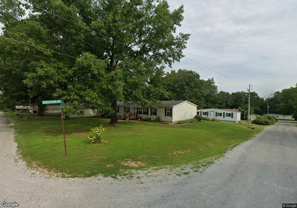
229 Michael St West Plains, MO 65775
Estimated Value: $200,000 - $245,000
--
Bed
--
Bath
2,128
Sq Ft
$104/Sq Ft
Est. Value
About This Home
This home is located at 229 Michael St, West Plains, MO 65775 and is currently estimated at $220,863, approximately $103 per square foot. 229 Michael St is a home with nearby schools including Faith Assembly Christian School.
Ownership History
Date
Name
Owned For
Owner Type
Purchase Details
Closed on
Aug 8, 2011
Sold by
Read Harold D and Read Lois A
Bought by
Harrington Doris and Harrington Terry
Current Estimated Value
Home Financials for this Owner
Home Financials are based on the most recent Mortgage that was taken out on this home.
Original Mortgage
$10,000
Interest Rate
4.52%
Mortgage Type
New Conventional
Purchase Details
Closed on
Oct 18, 2007
Sold by
Nolan Michael P and Nolan Sandra K
Bought by
Read Harold D and Read Lois A
Home Financials for this Owner
Home Financials are based on the most recent Mortgage that was taken out on this home.
Original Mortgage
$63,000
Interest Rate
6.32%
Mortgage Type
Purchase Money Mortgage
Purchase Details
Closed on
May 21, 2007
Sold by
Nolan Sandra K
Bought by
Nolan Michael P
Purchase Details
Closed on
Oct 26, 2006
Sold by
Federal Home Loan Mortgage Corporation
Bought by
Nolan Michael P and Nolan Sandra K
Home Financials for this Owner
Home Financials are based on the most recent Mortgage that was taken out on this home.
Original Mortgage
$64,000
Interest Rate
6.26%
Mortgage Type
New Conventional
Purchase Details
Closed on
Apr 19, 2006
Sold by
Mellor Gregory J
Bought by
Federal Home Loan Mortgage Corporation
Create a Home Valuation Report for This Property
The Home Valuation Report is an in-depth analysis detailing your home's value as well as a comparison with similar homes in the area
Home Values in the Area
Average Home Value in this Area
Purchase History
| Date | Buyer | Sale Price | Title Company |
|---|---|---|---|
| Harrington Doris | -- | Btc | |
| Read Harold D | -- | Btc | |
| Nolan Michael P | -- | None Available | |
| Nolan Michael P | -- | None Available | |
| Federal Home Loan Mortgage Corporation | $84,349 | None Available |
Source: Public Records
Mortgage History
| Date | Status | Borrower | Loan Amount |
|---|---|---|---|
| Closed | Harrington Doris | $10,000 | |
| Previous Owner | Read Harold D | $63,000 | |
| Previous Owner | Nolan Michael P | $64,000 |
Source: Public Records
Tax History Compared to Growth
Tax History
| Year | Tax Paid | Tax Assessment Tax Assessment Total Assessment is a certain percentage of the fair market value that is determined by local assessors to be the total taxable value of land and additions on the property. | Land | Improvement |
|---|---|---|---|---|
| 2025 | $424 | $14,070 | $2,230 | $11,840 |
| 2024 | $423 | $12,570 | -- | -- |
| 2023 | $423 | $12,570 | $0 | $0 |
| 2022 | $401 | $11,920 | $0 | $0 |
| 2021 | $378 | $11,920 | $0 | $0 |
| 2020 | $378 | $11,190 | $0 | $0 |
| 2019 | $400 | $11,190 | $0 | $0 |
| 2018 | $380 | $10,620 | $0 | $0 |
| 2017 | $380 | $10,620 | $0 | $0 |
| 2015 | -- | $10,620 | $0 | $0 |
| 2014 | -- | $10,620 | $0 | $0 |
| 2013 | -- | $10,620 | $0 | $0 |
Source: Public Records
Map
Nearby Homes
- 000 Private Road 2014
- 9648 Private Road 6543
- 000 U S 63
- 3440 U S 63
- 334 Private Road 2018
- 000 Porter Wagoner Blvd
- 000 Hubert Redburn Dr
- 000 Mcfarland St
- 000 Old Airport Rd
- 000 Freedom & Goodhard
- 1718 Luna Dr
- 000 Lee Anna Dr
- 1708 Tiffany St
- 2502 Kody Dr
- 2818 Christie Dr
- 2601 Kody Dr
- 1807 Lexington Ave
- 2821 Christie Dr
- 1816 Lasswell St
- 1612 Luna Dr
- 225 Michael St
- 2044 Ridge View Ave
- 226 Cedar St
- 258 Michael St
- 2012 Kenny Ave
- 236 Cedar St
- 2077 Ridge View Ave
- 208 Private Road 1782
- 8455 Private Road 6853
- 0 Michael St Unit 10821139
- 0 Michael St
- 2019 Kenny Ave
- 2015 Clark Ave
- 233 Cedar St
- 0 Cedar St Unit 10821110
- 0 Cedar St Unit 10821138
- 0 Cedar St
- 209 Cedar St
- 227 Cedar St
- 2007 Kenny Ave