23 Mattakeset Bay Rd Edgartown, MA 02539
Edgartown NeighborhoodEstimated Value: $4,049,913 - $5,759,000
2
Beds
4
Baths
2,607
Sq Ft
$1,778/Sq Ft
Est. Value
About This Home
This home is located at 23 Mattakeset Bay Rd, Edgartown, MA 02539 and is currently estimated at $4,635,228, approximately $1,777 per square foot. 23 Mattakeset Bay Rd is a home located in Dukes County with nearby schools including Edgartown Elementary School and Martha's Vineyard Regional High School.
Ownership History
Date
Name
Owned For
Owner Type
Purchase Details
Closed on
Feb 24, 2022
Sold by
Sarah Caledonia
Bought by
Scott Cummings-Nicol and Scott Sarah Caledonia
Current Estimated Value
Purchase Details
Closed on
May 20, 2019
Sold by
Cummings-Nicol Scott and Caledonia Sarah
Bought by
Caledonia Sarah
Purchase Details
Closed on
Sep 9, 2015
Sold by
Monahan Kenneth B and Monahan Pamela
Bought by
Nicol Scott C and Caledonia Sarah
Purchase Details
Closed on
Sep 11, 2009
Sold by
Velarde Phaidra A
Bought by
Monahan Kenneth B and Monahan Pamela
Purchase Details
Closed on
Sep 27, 2002
Sold by
Alliance Energy Corp
Bought by
Butler John and Butler Elizabeth
Create a Home Valuation Report for This Property
The Home Valuation Report is an in-depth analysis detailing your home's value as well as a comparison with similar homes in the area
Home Values in the Area
Average Home Value in this Area
Purchase History
| Date | Buyer | Sale Price | Title Company |
|---|---|---|---|
| Scott Cummings-Nicol | -- | None Available | |
| Caledonia Sarah | -- | -- | |
| Nicol Scott C | $2,600,000 | -- | |
| Monahan Kenneth B | -- | -- | |
| Butler John | $200,000 | -- |
Source: Public Records
Tax History Compared to Growth
Tax History
| Year | Tax Paid | Tax Assessment Tax Assessment Total Assessment is a certain percentage of the fair market value that is determined by local assessors to be the total taxable value of land and additions on the property. | Land | Improvement |
|---|---|---|---|---|
| 2025 | $9,159 | $3,456,400 | $1,396,600 | $2,059,800 |
| 2024 | $8,639 | $3,387,800 | $1,396,600 | $1,991,200 |
| 2023 | $7,973 | $3,163,800 | $1,239,700 | $1,924,100 |
| 2022 | $9,223 | $3,043,896 | $1,814,196 | $1,229,700 |
| 2021 | $8,081 | $2,463,592 | $1,099,592 | $1,364,000 |
| 2020 | $8,253 | $2,463,592 | $1,099,592 | $1,364,000 |
| 2019 | $8,803 | $2,274,700 | $1,099,600 | $1,175,100 |
| 2018 | $8,338 | $2,200,000 | $1,099,600 | $1,100,400 |
| 2017 | $7,449 | $2,098,300 | $1,099,600 | $998,700 |
| 2016 | $4,823 | $1,332,300 | $824,900 | $507,400 |
| 2015 | $4,772 | $1,375,200 | $940,400 | $434,800 |
Source: Public Records
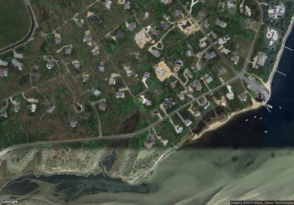
Map
Nearby Homes
- 24 Katama Bay View Rd
- 5 Atlantic Dr Unit 5.2
- 19 Katama Dr
- 25 Lelands Path
- 1 Field Club Dr
- 3 Somerset Ln
- 2 Farmers Rd
- 4 Somerset Ln
- 23 Thaxter Ln
- 7 Martha's Way
- 8 Old Dunhams Corner Way
- 39 Slough Cove Rd Unit 12.2 (part of)
- 39 Slough Cove Rd
- 16 Schoolhouse Rd
- 31 Butlers Cove Rd
- 12 Duarte Cir
- 108 Bay View
- 108 Bay View Ave
- 11A Duarte Cir
- 9 Maqua Way
- 23 Mattakesett Bay Rd
- 21 Mattakeset Bay Rd
- 108 Edgartown Bay Rd
- 106 Edgartown Bay Rd
- 19 Mattakeset Bay Rd
- 19 Mattakesett Bay Rd
- 18 Mattakeset Bay Rd Unit B
- 18 Mattakeset Bay Rd Unit A
- 12 Mattakesett Bay Rd Unit M7
- 12 Mattakesett Bay Rd Unit M8
- 12 Mattakesett Bay Rd Unit M-08
- 12 Mattakesett Bay Rd Unit M-07
- 102 Edgartown Bay Rd
- 100 Edgartown Bay Rd
- 15 Mattakeset Bay Rd
- 104 Edgartown Bay Rd
- 16 Mattakesett Bay Rd Unit M10
- 16 Mattakesett Bay Rd Unit M09&M10
- 16 Mattakesett Bay Rd Unit A
- 16 Mattakeset Bay Rd Unit A