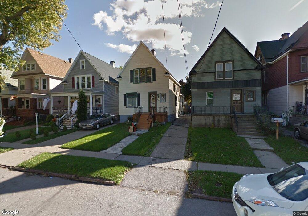
23 Sheffield Ave Buffalo, NY 14220
South Park NeighborhoodEstimated Value: $110,000 - $208,869
4
Beds
2
Baths
1,270
Sq Ft
$132/Sq Ft
Est. Value
About This Home
This home is located at 23 Sheffield Ave, Buffalo, NY 14220 and is currently estimated at $167,467, approximately $131 per square foot. 23 Sheffield Ave is a home located in Erie County with nearby schools including Western New York Maritime Charter School, Bishop Timon-St. Jude High School, and Mount Mercy Academy.
Ownership History
Date
Name
Owned For
Owner Type
Purchase Details
Closed on
Aug 17, 2023
Sold by
Zappia Jesse and Lwt Of David Zappia
Bought by
Zappia Jesse and Zappia Savannah
Current Estimated Value
Purchase Details
Closed on
Apr 13, 2006
Sold by
Zappia David and Zappia Michelle
Bought by
Zappia David
Home Financials for this Owner
Home Financials are based on the most recent Mortgage that was taken out on this home.
Original Mortgage
$39,000
Interest Rate
6.4%
Mortgage Type
Stand Alone Refi Refinance Of Original Loan
Create a Home Valuation Report for This Property
The Home Valuation Report is an in-depth analysis detailing your home's value as well as a comparison with similar homes in the area
Home Values in the Area
Average Home Value in this Area
Purchase History
| Date | Buyer | Sale Price | Title Company |
|---|---|---|---|
| Zappia Jesse | -- | None Available | |
| Zappia David | -- | None Available |
Source: Public Records
Mortgage History
| Date | Status | Borrower | Loan Amount |
|---|---|---|---|
| Closed | Zappia David | $39,000 |
Source: Public Records
Tax History Compared to Growth
Tax History
| Year | Tax Paid | Tax Assessment Tax Assessment Total Assessment is a certain percentage of the fair market value that is determined by local assessors to be the total taxable value of land and additions on the property. | Land | Improvement |
|---|---|---|---|---|
| 2024 | $493 | $88,000 | $8,600 | $79,400 |
| 2023 | $446 | $88,000 | $8,600 | $79,400 |
| 2022 | $442 | $88,000 | $8,600 | $79,400 |
| 2021 | $442 | $88,000 | $8,600 | $79,400 |
| 2020 | $389 | $88,000 | $8,600 | $79,400 |
| 2019 | $1,388 | $50,600 | $5,000 | $45,600 |
| 2018 | $1,306 | $50,600 | $5,000 | $45,600 |
| 2017 | $301 | $50,600 | $5,000 | $45,600 |
| 2016 | $915 | $50,600 | $5,000 | $45,600 |
| 2015 | -- | $50,600 | $5,000 | $45,600 |
| 2014 | -- | $50,600 | $5,000 | $45,600 |
Source: Public Records
Map
Nearby Homes
- 2065 S Park Ave
- 189 W Woodside Ave
- 53 Choate Ave
- 52 Harding Rd
- 155 Altruria St
- 66 Choate Ave
- 33 Harding Rd
- 89 Mariemont Ave
- 53 Richfield Ave
- 166 Amber St
- 117 Bloomfield Ave
- 32 Richfield Ave
- 190 Crystal Ave
- 98 Ridgewood Rd
- 889 Tifft St
- 95 Columbus Ave
- 67 Lockwood Ave
- 289 Okell St
- 548 Marilla St
- 51 Olcott Ave
- 19 Sheffield Ave
- 25 Sheffield Ave
- 29 Sheffield Ave
- 17 Sheffield Ave
- 31 Sheffield Ave
- 2058 S Park Ave
- 20 Woodside Ave
- 26 Woodside Ave
- 24 Woodside Ave
- 24 Woodside Ave Unit Lower
- 35 Sheffield Ave
- 18 Woodside Ave
- 30 Woodside Ave
- 14 Woodside Ave
- 32 Woodside Ave
- 39 Sheffield Ave
- 38 Woodside Ave
- 2066 S Park Ave
- 2066 S Park Ave Unit Rear
- 24 Sheffield Ave