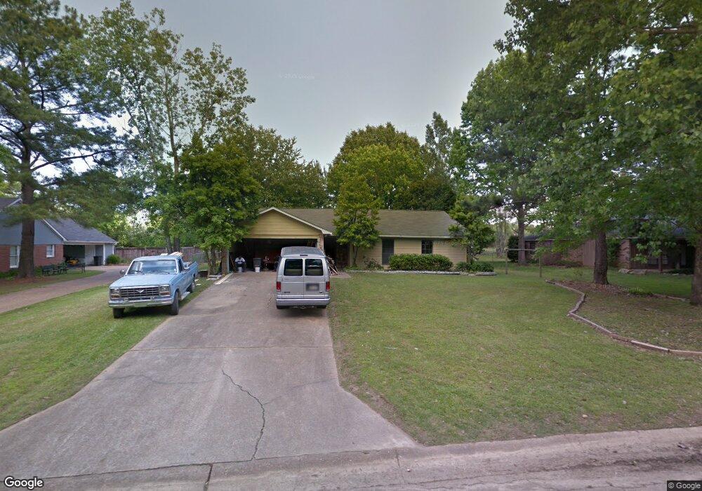
230 Oakbend Dr Madison, MS 39110
Estimated Value: $237,000 - $269,000
3
Beds
2
Baths
1,683
Sq Ft
$149/Sq Ft
Est. Value
About This Home
This home is located at 230 Oakbend Dr, Madison, MS 39110 and is currently estimated at $251,091, approximately $149 per square foot. 230 Oakbend Dr is a home located in Madison County with nearby schools including Madison Avenue Elementary, Madison Avenue Upper Elementary School, and Madison Middle School.
Ownership History
Date
Name
Owned For
Owner Type
Purchase Details
Closed on
Feb 3, 2017
Sold by
Brooks Barbara
Bought by
Riseden Jack W and Riseden Rosetta Katherine
Current Estimated Value
Home Financials for this Owner
Home Financials are based on the most recent Mortgage that was taken out on this home.
Original Mortgage
$147,283
Outstanding Balance
$120,802
Interest Rate
3.87%
Mortgage Type
FHA
Estimated Equity
$130,289
Purchase Details
Closed on
Mar 7, 2013
Sold by
Hennessey Carol S and Estate Of Frederick E Hann
Bought by
Brooks Barbara
Create a Home Valuation Report for This Property
The Home Valuation Report is an in-depth analysis detailing your home's value as well as a comparison with similar homes in the area
Home Values in the Area
Average Home Value in this Area
Purchase History
| Date | Buyer | Sale Price | Title Company |
|---|---|---|---|
| Riseden Jack W | -- | None Available | |
| Brooks Barbara | -- | None Available |
Source: Public Records
Mortgage History
| Date | Status | Borrower | Loan Amount |
|---|---|---|---|
| Open | Riseden Jack W | $147,283 |
Source: Public Records
Tax History Compared to Growth
Tax History
| Year | Tax Paid | Tax Assessment Tax Assessment Total Assessment is a certain percentage of the fair market value that is determined by local assessors to be the total taxable value of land and additions on the property. | Land | Improvement |
|---|---|---|---|---|
| 2024 | $990 | $11,073 | $0 | $0 |
| 2023 | $990 | $11,073 | $0 | $0 |
| 2022 | $990 | $11,073 | $0 | $0 |
| 2021 | $951 | $10,737 | $0 | $0 |
| 2020 | $951 | $10,737 | $0 | $0 |
| 2019 | $951 | $10,737 | $0 | $0 |
| 2018 | $899 | $10,286 | $0 | $0 |
| 2017 | $1,774 | $15,225 | $0 | $0 |
| 2016 | $1,774 | $15,225 | $0 | $0 |
| 2015 | $1,774 | $15,225 | $0 | $0 |
| 2014 | $1,980 | $16,991 | $0 | $0 |
Source: Public Records
Map
Nearby Homes
- 169 Saint Ives Dr
- 165 Saint Ives Dr
- 149 Stonegate Dr
- 105 Victoria Place
- 1133 Windrose Cir
- 722 Arlington Ct
- 234 Brisage Blvd
- 1005 Laramie Ct
- 207 Geneva Blvd
- 109 Brisage Dr
- 865 Wellington Way
- 422 Summerville Dr
- 262 Geneva Blvd
- 113 N North Ridge Dr
- 1141 Highway 51
- 265 Woodland Brook Dr
- 1133 Highway 51
- 171 E Hill Dr
- 483 Madison Oaks Dr
- 345 Avonlea Ln