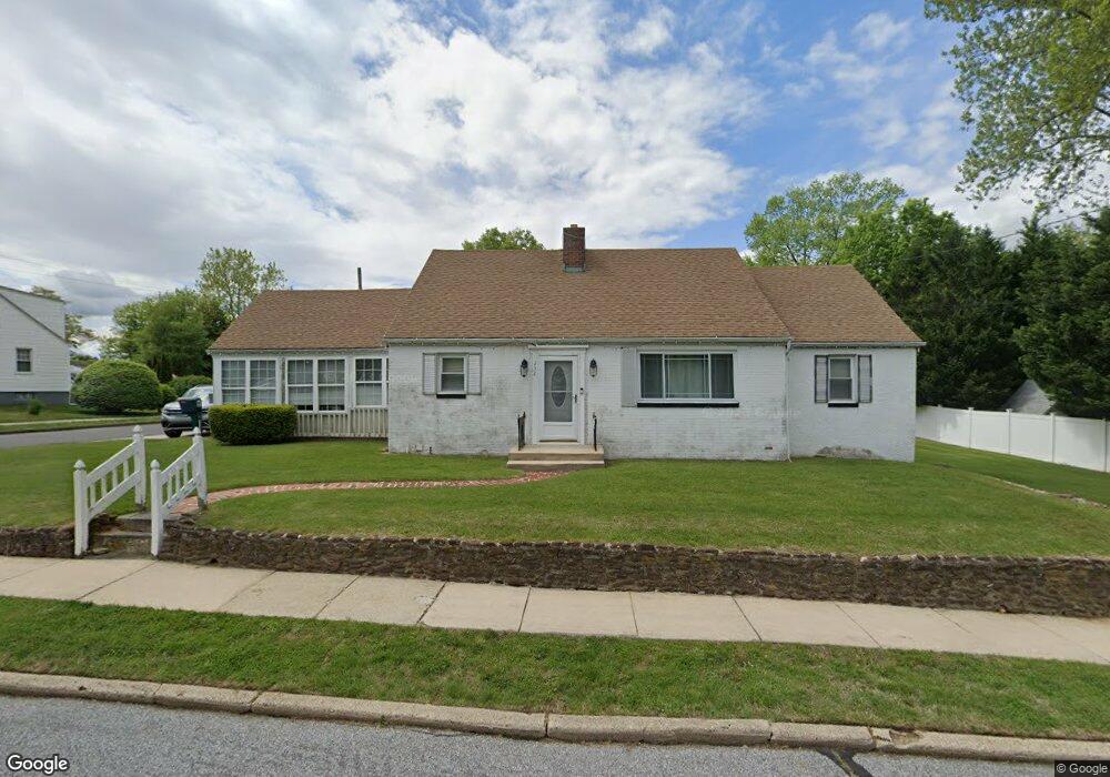
232 Mccarthy Ave Mantua, NJ 08051
Mantua Township NeighborhoodEstimated Value: $290,000 - $343,270
4
Beds
2
Baths
1,324
Sq Ft
$241/Sq Ft
Est. Value
About This Home
This home is located at 232 Mccarthy Ave, Mantua, NJ 08051 and is currently estimated at $319,568, approximately $241 per square foot. 232 Mccarthy Ave is a home located in Gloucester County with nearby schools including Centre City School, Clearview Regional Middle School, and Clearview Regional High School.
Ownership History
Date
Name
Owned For
Owner Type
Purchase Details
Closed on
Aug 30, 2002
Sold by
Hud
Bought by
Sparacio Antonio
Current Estimated Value
Home Financials for this Owner
Home Financials are based on the most recent Mortgage that was taken out on this home.
Original Mortgage
$99,000
Outstanding Balance
$42,079
Interest Rate
6.48%
Estimated Equity
$277,489
Purchase Details
Closed on
May 24, 2002
Sold by
Welfield Kathleen A and Murphy Ethel R
Bought by
Hud
Purchase Details
Closed on
Oct 31, 1996
Sold by
Fare John J and Fare Anna R
Bought by
Welfield Kathleen A and Murphy Ethel R
Home Financials for this Owner
Home Financials are based on the most recent Mortgage that was taken out on this home.
Original Mortgage
$116,250
Interest Rate
8.1%
Mortgage Type
FHA
Create a Home Valuation Report for This Property
The Home Valuation Report is an in-depth analysis detailing your home's value as well as a comparison with similar homes in the area
Home Values in the Area
Average Home Value in this Area
Purchase History
| Date | Buyer | Sale Price | Title Company |
|---|---|---|---|
| Sparacio Antonio | $110,000 | Multiple | |
| Hud | -- | -- | |
| Welfield Kathleen A | $117,000 | Congress Title Corp |
Source: Public Records
Mortgage History
| Date | Status | Borrower | Loan Amount |
|---|---|---|---|
| Open | Sparacio Antonio | $99,000 | |
| Previous Owner | Welfield Kathleen A | $116,250 |
Source: Public Records
Tax History Compared to Growth
Tax History
| Year | Tax Paid | Tax Assessment Tax Assessment Total Assessment is a certain percentage of the fair market value that is determined by local assessors to be the total taxable value of land and additions on the property. | Land | Improvement |
|---|---|---|---|---|
| 2025 | $6,422 | $249,400 | $68,400 | $181,000 |
| 2024 | $6,355 | $249,400 | $68,400 | $181,000 |
| 2023 | $6,355 | $249,400 | $68,400 | $181,000 |
| 2022 | $6,293 | $179,900 | $48,400 | $131,500 |
| 2021 | $6,340 | $179,900 | $48,400 | $131,500 |
| 2020 | $6,289 | $179,900 | $48,400 | $131,500 |
| 2019 | $6,183 | $179,900 | $48,400 | $131,500 |
| 2018 | $6,095 | $179,900 | $48,400 | $131,500 |
| 2017 | $6,003 | $179,900 | $48,400 | $131,500 |
| 2016 | $5,935 | $179,900 | $48,400 | $131,500 |
| 2015 | $5,789 | $179,900 | $48,400 | $131,500 |
| 2014 | $6,556 | $210,800 | $48,400 | $162,400 |
Source: Public Records
Map
Nearby Homes
- 244 Shadow Place
- 8 Barry Dr
- 47 New Jersey Ave
- 505 W Mantua Ave
- 748 Dartmouth Dr
- 125 Ivy Ln
- 325 Bridgeton Pike
- 1215 Tristram Cir
- 1134 Tristram Cir Unit 4
- 1145 Tristram Cir
- 119 Monroe Ave
- 735 Glenside Dr
- 1147 Tristram Cir Unit 1147
- 1433 Tristram Cir
- 75 Hickory Ave
- 261 Tony Cir
- 204 W Landing Rd
- 711 Howard Ave
- 485 Harrison Ave
- 26 Woodstream Ct
- 227 Summit Ave
- 226 Mccarthy Ave
- 246 Mccarthy Ave
- 224 Mccarthy Ave
- 218 Mccarthy Ave
- 235 Mccarthy Ave
- 250 Mccarthy Ave
- 227 Mccarthy Ave
- 239 Summit Ave
- 221 Mccarthy Ave
- 243 Mccarthy Ave
- 221 Summit Ave
- 254 Mccarthy Ave
- 212 Mccarthy Ave
- 243 Summit Ave
- 217 Mccarthy Ave
- 213 Summit Ave
- 232 Elm Ave
- 226 Elm Ave
- 262 Mccarthy Ave