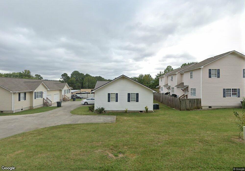
232 N Henderson Bend Rd NW Calhoun, GA 30701
Estimated Value: $227,681 - $287,000
4
Beds
2
Baths
1,564
Sq Ft
$168/Sq Ft
Est. Value
About This Home
This home is located at 232 N Henderson Bend Rd NW, Calhoun, GA 30701 and is currently estimated at $263,420, approximately $168 per square foot. 232 N Henderson Bend Rd NW is a home located in Gordon County with nearby schools including Calhoun Primary School, Calhoun Elementary School, and Calhoun Middle School.
Ownership History
Date
Name
Owned For
Owner Type
Purchase Details
Closed on
Jun 20, 2008
Sold by
Woods Ronald H
Bought by
Mcpherson Linda
Current Estimated Value
Home Financials for this Owner
Home Financials are based on the most recent Mortgage that was taken out on this home.
Original Mortgage
$116,082
Outstanding Balance
$74,146
Interest Rate
5.96%
Mortgage Type
FHA
Estimated Equity
$189,274
Purchase Details
Closed on
Jul 25, 2000
Sold by
Moran Rosa
Bought by
Woods Ronald H
Create a Home Valuation Report for This Property
The Home Valuation Report is an in-depth analysis detailing your home's value as well as a comparison with similar homes in the area
Home Values in the Area
Average Home Value in this Area
Purchase History
| Date | Buyer | Sale Price | Title Company |
|---|---|---|---|
| Mcpherson Linda | $117,000 | -- | |
| Woods Ronald H | $24,000 | -- | |
| Moran Rosa | -- | -- |
Source: Public Records
Mortgage History
| Date | Status | Borrower | Loan Amount |
|---|---|---|---|
| Open | Mcpherson Linda | $116,082 |
Source: Public Records
Tax History Compared to Growth
Tax History
| Year | Tax Paid | Tax Assessment Tax Assessment Total Assessment is a certain percentage of the fair market value that is determined by local assessors to be the total taxable value of land and additions on the property. | Land | Improvement |
|---|---|---|---|---|
| 2024 | $1,616 | $57,480 | $4,240 | $53,240 |
| 2023 | $1,516 | $53,920 | $4,240 | $49,680 |
| 2022 | $480 | $50,440 | $4,240 | $46,200 |
| 2021 | $1,228 | $41,240 | $4,240 | $37,000 |
| 2020 | $1,251 | $41,680 | $4,240 | $37,440 |
| 2019 | $1,602 | $41,680 | $4,240 | $37,440 |
| 2018 | $211 | $21,920 | $4,240 | $17,680 |
| 2017 | $215 | $21,920 | $4,240 | $17,680 |
| 2016 | $216 | $21,920 | $4,240 | $17,680 |
| 2015 | $219 | $21,920 | $4,240 | $17,680 |
| 2014 | $274 | $27,868 | $4,250 | $23,618 |
Source: Public Records
Map
Nearby Homes
- 228 Woodland Cir NW
- 103 Mcginnis Cir
- 208 Mcginnis Cir
- 104 Cornwell Way
- 1215 U S 41
- 00 Mauldin Rd NW
- 000 Mauldin Rd
- 516 Mcginnis Cir
- 453 Chatsworth Highway 225 NE
- 308 Heritage Dr
- 211 Birch Ln
- 212 Birch Ln
- 111 Nike Dr
- 145 Green Row
- Spruce Plan at Riverside at Calhoun
- Cedar Plan at Riverside at Calhoun
- Birch Plan at Riverside at Calhoun
- Hazel Plan at Riverside at Calhoun
- Elder Plan at Riverside at Calhoun
- 367 Mount Vernon Dr
- 236 Henderson Bend Rd NW
- 228 N Henderson Bend Rd NW
- 228 N Darby Rd SW
- 206 N Henderson Bend Rd NW
- 242 N Henderson Bend Rd NW
- 248 N Henderson Bend Rd NW
- 204 Darby Rd SW
- 113 Crestview Dr NW
- 205 N Henderson Bend Rd NW
- 202 N Henderson Bend Rd NW
- 256 N Henderson Bend Rd NW
- 254 N Henderson Bend Rd NW
- 117 Colony Dr NW
- 125 Colony Dr NW
- 260 N Henderson Bend Rd NW
- 199 N Henderson Bend Rd NW
- 115 Crestview Dr NW
- 255 N Henderson Bend Rd NW
- 109 Colony Dr NW
- 224 N Henderson Bend Rd NW