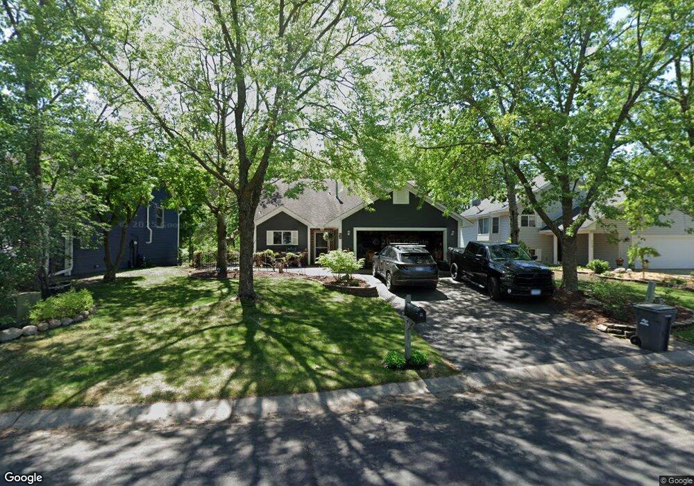
233 Wildhurst Rd Waconia, MN 55387
Estimated Value: $332,000 - $384,000
2
Beds
1
Bath
1,040
Sq Ft
$338/Sq Ft
Est. Value
About This Home
This home is located at 233 Wildhurst Rd, Waconia, MN 55387 and is currently estimated at $351,830, approximately $338 per square foot. 233 Wildhurst Rd is a home located in Carver County with nearby schools including Southview Elementary School, Waconia Middle School, and Waconia High School.
Ownership History
Date
Name
Owned For
Owner Type
Purchase Details
Closed on
Mar 30, 2022
Sold by
Scott Schroeder
Bought by
Schroeder Scott
Current Estimated Value
Home Financials for this Owner
Home Financials are based on the most recent Mortgage that was taken out on this home.
Original Mortgage
$207,287
Interest Rate
5.1%
Mortgage Type
Balloon
Purchase Details
Closed on
Sep 14, 2001
Sold by
Iddings Susan K and Iddings Douglas
Bought by
Schroeder Scott and Schroeder Racheal
Create a Home Valuation Report for This Property
The Home Valuation Report is an in-depth analysis detailing your home's value as well as a comparison with similar homes in the area
Home Values in the Area
Average Home Value in this Area
Purchase History
| Date | Buyer | Sale Price | Title Company |
|---|---|---|---|
| Schroeder Scott | $3,000 | Glassman Richard | |
| Schroeder Scott | $186,900 | -- |
Source: Public Records
Mortgage History
| Date | Status | Borrower | Loan Amount |
|---|---|---|---|
| Previous Owner | Schroeder Scott | $207,287 |
Source: Public Records
Tax History
| Year | Tax Paid | Tax Assessment Tax Assessment Total Assessment is a certain percentage of the fair market value that is determined by local assessors to be the total taxable value of land and additions on the property. | Land | Improvement |
|---|---|---|---|---|
| 2025 | $3,360 | $286,400 | $85,000 | $201,400 |
| 2024 | $3,458 | $282,600 | $85,000 | $197,600 |
| 2023 | $3,246 | $282,600 | $85,000 | $197,600 |
| 2022 | $3,048 | $281,800 | $84,400 | $197,400 |
| 2021 | $3,072 | $222,500 | $70,300 | $152,200 |
| 2020 | $2,886 | $222,500 | $70,300 | $152,200 |
| 2019 | $2,790 | $195,900 | $60,500 | $135,400 |
| 2018 | $2,482 | $195,900 | $60,500 | $135,400 |
| 2017 | $2,396 | $185,100 | $55,000 | $130,100 |
| 2016 | $2,314 | $163,900 | $0 | $0 |
| 2015 | $2,102 | $157,400 | $0 | $0 |
| 2014 | $2,102 | $137,200 | $0 | $0 |
Source: Public Records
Map
Nearby Homes
- 180 Huntington Dr
- 186 Huntington Dr
- 192 Huntington Dr
- 211 Huntington Dr
- 215 Huntington Dr
- 221 Huntington Dr
- 46 E 13th St
- 451 Murray Hill Way
- 545 Waterford Place
- 553 Waterford Place
- 557 Waterford Place
- 561 Waterford Place
- 1205 Crosswinds Way
- 681 Sierra Pkwy
- 1233 Orchard Ct
- 1257 Orchard Ct
- 1109 Primrose Ln
- 1965 Fountain Ln
- 1868 Moccasin
- 524 Roanoke Ct
- 225 Wildhurst Rd
- 241 Wildhurst Rd
- 249 Wildhurst Rd
- 217 Wildhurst Rd
- 248 Wildhurst Rd
- 240 Wildhurst Rd
- 232 Wildhurst Rd
- 301 Wildhurst Rd
- 256 Wildhurst Rd
- 209 Wildhurst Rd
- 224 Wildhurst Rd
- 300 Wildhurst Rd
- 309 Wildhurst Rd
- 208 Wildhurst Rd
- 308 Wildhurst Rd
- 1400 Deerfield Rd
- 317 Wildhurst Rd
- 1416 Deerfield Rd
- 1424 Deerfield Rd
- 325 Wildhurst Rd
Your Personal Tour Guide
Ask me questions while you tour the home.