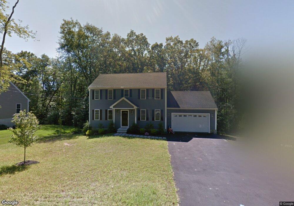
236 Daniels St Franklin, MA 02038
Estimated Value: $748,000 - $886,000
3
Beds
3
Baths
1,827
Sq Ft
$445/Sq Ft
Est. Value
About This Home
This home is located at 236 Daniels St, Franklin, MA 02038 and is currently estimated at $812,919, approximately $444 per square foot. 236 Daniels St is a home with nearby schools including Helen Keller Elementary School, Annie Sullivan Middle School, and Franklin High School.
Ownership History
Date
Name
Owned For
Owner Type
Purchase Details
Closed on
Sep 28, 2017
Sold by
Bagdasarian Prop Holdi
Bought by
Franklin Housing Auth
Current Estimated Value
Purchase Details
Closed on
Jan 17, 2013
Sold by
Kings Lane Rt
Bought by
Sprague Robert P and Sprague Suzanne F
Home Financials for this Owner
Home Financials are based on the most recent Mortgage that was taken out on this home.
Original Mortgage
$328,000
Interest Rate
3.39%
Mortgage Type
New Conventional
Purchase Details
Closed on
Mar 21, 2012
Sold by
First Evergreen Props
Bought by
Kings Lane Rt
Home Financials for this Owner
Home Financials are based on the most recent Mortgage that was taken out on this home.
Original Mortgage
$1,000,000
Interest Rate
3.86%
Mortgage Type
Purchase Money Mortgage
Purchase Details
Closed on
Aug 30, 2011
Sold by
Intoccia Michael T and Intoccia Michael T
Bought by
First Evergreen Props
Create a Home Valuation Report for This Property
The Home Valuation Report is an in-depth analysis detailing your home's value as well as a comparison with similar homes in the area
Home Values in the Area
Average Home Value in this Area
Purchase History
| Date | Buyer | Sale Price | Title Company |
|---|---|---|---|
| Franklin Housing Auth | -- | -- | |
| Franklin Housing Auth | -- | -- | |
| Sprague Robert P | $410,000 | -- | |
| Kings Lane Rt | $360,000 | -- | |
| First Evergreen Props | $125,000 | -- |
Source: Public Records
Mortgage History
| Date | Status | Borrower | Loan Amount |
|---|---|---|---|
| Previous Owner | First Evergreen Props | $328,000 | |
| Previous Owner | First Evergreen Props | $20,500 | |
| Previous Owner | Kings Lane Rt | $1,000,000 |
Source: Public Records
Tax History Compared to Growth
Tax History
| Year | Tax Paid | Tax Assessment Tax Assessment Total Assessment is a certain percentage of the fair market value that is determined by local assessors to be the total taxable value of land and additions on the property. | Land | Improvement |
|---|---|---|---|---|
| 2025 | $7,888 | $678,800 | $333,100 | $345,700 |
| 2024 | $7,856 | $666,300 | $333,100 | $333,200 |
| 2023 | $7,495 | $595,800 | $283,900 | $311,900 |
| 2022 | $7,031 | $500,400 | $223,600 | $276,800 |
| 2021 | $7,825 | $534,100 | $251,100 | $283,000 |
| 2020 | $7,410 | $510,700 | $240,800 | $269,900 |
| 2019 | $7,336 | $500,400 | $230,500 | $269,900 |
| 2018 | $6,827 | $466,000 | $222,200 | $243,800 |
| 2017 | $6,555 | $449,600 | $205,800 | $243,800 |
| 2016 | $6,409 | $442,000 | $220,600 | $221,400 |
| 2015 | $6,396 | $431,000 | $209,600 | $221,400 |
| 2014 | $5,857 | $405,300 | $183,900 | $221,400 |
Source: Public Records
Map
Nearby Homes
- 48 Leanne Way Unit 48
- 83 Oliver Pond Cir Unit 7
- 91 Oliver Pond Cir Unit 3
- 24 Shayne Rd Unit 219
- 732 Lincoln St
- 2 Skyline Dr
- 312 Eagles Nest Way Unit 312
- 56 Fuller Place
- 70 Daniels St
- 841 Lincoln St
- 10 Populatic Street Extension
- 7 Gloucester Dr
- 10 Silver Fox Rd
- 99 Leland Rd
- 0 Elm St
- 14 Sanford St Unit 15
- 9 Sanford St
- 33 Daniels St
- 20 Broad St Unit 6
- 20 Broad St Unit A
- 234 Daniels St
- 238 Daniels St
- 240 Daniels St
- 239 Daniels St
- 241 Daniels St
- 232 Daniels St
- 242 Daniels St
- 243 Daniels St
- 24 Leanne Way
- 22 Leanne Way
- 24 Leanne Way Unit 24
- 28 Leanne Way
- 26 Leanne Way
- 230 Daniels St
- 244 Daniels St
- 16 Leanne Way Unit 16
- 16 Leanne Way Unit 18
- 29 Skyline Dr
- 27 Skyline Dr
- 228 Daniels St