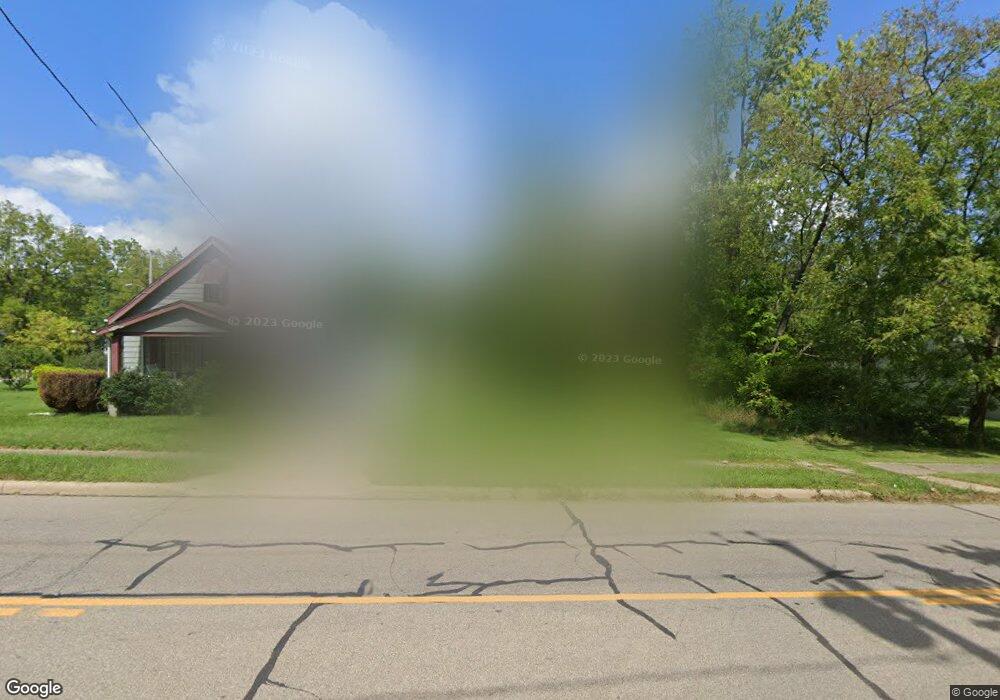
2360 McGuffey Rd Youngstown, OH 44505
Landsdowne NeighborhoodEstimated Value: $22,000 - $177,000
2
Beds
1
Bath
1,136
Sq Ft
$64/Sq Ft
Est. Value
About This Home
This home is located at 2360 McGuffey Rd, Youngstown, OH 44505 and is currently estimated at $72,386, approximately $63 per square foot. 2360 McGuffey Rd is a home located in Mahoning County with nearby schools including M.L. King Elementary School, East High School, and Youngstown Academy of Excellence.
Ownership History
Date
Name
Owned For
Owner Type
Purchase Details
Closed on
Dec 28, 2017
Sold by
Nolan Norma and Yemma Daniel R
Bought by
Mahoning County Land Reutilization Corp
Current Estimated Value
Purchase Details
Closed on
Feb 28, 2007
Sold by
King Damion
Bought by
Nolan Norma
Purchase Details
Closed on
Jan 31, 2002
Sold by
Donaldson Wayne K
Bought by
Cit Group/Consumer Finance Inc
Purchase Details
Closed on
Oct 31, 2001
Sold by
C I T Group/Consumer Finance Inc
Bought by
Parker Timothy
Purchase Details
Closed on
Sep 11, 2001
Sold by
Donaldson Wayne K
Bought by
Cit Group/Consumer Finance Inc
Purchase Details
Closed on
Apr 28, 1992
Bought by
Donaldson Jas and Donaldson J
Create a Home Valuation Report for This Property
The Home Valuation Report is an in-depth analysis detailing your home's value as well as a comparison with similar homes in the area
Home Values in the Area
Average Home Value in this Area
Purchase History
| Date | Buyer | Sale Price | Title Company |
|---|---|---|---|
| Mahoning County Land Reutilization Corp | -- | None Available | |
| Nolan Norma | $12,500 | Attorney | |
| Cit Group/Consumer Finance Inc | $10,000 | -- | |
| Parker Timothy | $7,000 | -- | |
| Cit Group/Consumer Finance Inc | $10,000 | -- | |
| Donaldson Jas | $6,200 | -- |
Source: Public Records
Tax History Compared to Growth
Tax History
| Year | Tax Paid | Tax Assessment Tax Assessment Total Assessment is a certain percentage of the fair market value that is determined by local assessors to be the total taxable value of land and additions on the property. | Land | Improvement |
|---|---|---|---|---|
| 2024 | -- | $120 | $120 | -- |
| 2022 | $0 | $130 | $130 | $0 |
| 2021 | $610 | $130 | $130 | $0 |
| 2020 | $610 | $130 | $130 | $0 |
| 2019 | $610 | $120 | $120 | $0 |
| 2018 | $167 | $120 | $120 | $0 |
| 2017 | $610 | $2,210 | $300 | $1,910 |
| 2016 | $637 | $2,790 | $300 | $2,490 |
| 2015 | $350 | $2,790 | $300 | $2,490 |
| 2014 | $182 | $2,790 | $300 | $2,490 |
| 2013 | $180 | $2,790 | $300 | $2,490 |
Source: Public Records
Map
Nearby Homes
- 1325 Miami Ave
- 902 Miami St
- 566 Sunshine Ave
- 405 Drake Ave
- 1538 Republic Ave
- 1214 Brighton St
- 1720 Jacobs Rd
- 598 Cassius Ave
- 3209 Castalia Ave
- 2160 Lansdowne Blvd
- 3244 Nelson Ave
- V/L Jacobs Rd
- 0 Mccartney Rd Unit 5030673
- 0 Homestead Rd
- 217 S Jackson St
- 250 Harold Ln
- OL 38 Mccartney Rd
- 2951 Megan Cir
- 2831 Benford Ln
- 2954 Megan Cir
- 2358 McGuffey Rd
- 2368 McGuffey Rd
- 2320 McGuffey Rd
- 2355 McGuffey Rd
- 1017 Devon Ave
- 2323 McGuffey Rd
- 1028 Alden Ave
- 2319 McGuffey Rd
- 923 Devon Ave
- 2312 McGuffey Rd
- 1029 Devon Ave
- 1032 Alden Ave
- 1026 Devon Ave
- 1035 Devon Ave
- 2307 McGuffey Rd
- 1023 Alden Ave
- 917 Devon Ave
- 920 Devon Ave
- 1039 Devon Ave
- 934 Alden Ave