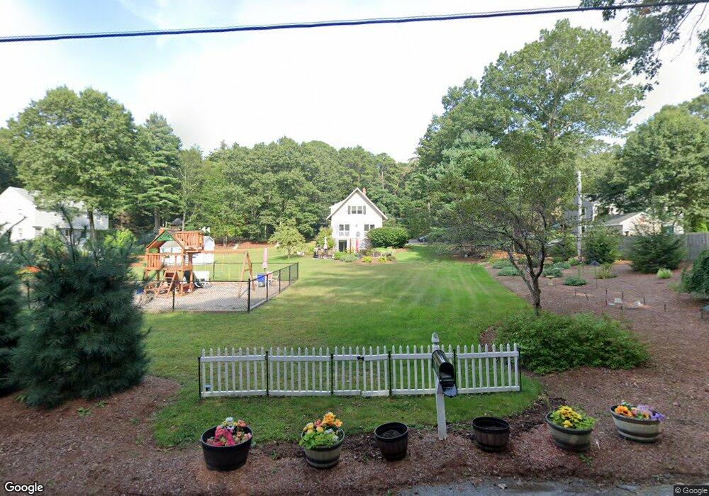
24 4th Ave Bellingham, MA 02019
Estimated Value: $512,000 - $568,000
3
Beds
2
Baths
1,512
Sq Ft
$359/Sq Ft
Est. Value
About This Home
This home is located at 24 4th Ave, Bellingham, MA 02019 and is currently estimated at $542,686, approximately $358 per square foot. 24 4th Ave is a home located in Norfolk County with nearby schools including Stall Brook Elementary School, Bellingham High School, and Mendon Mennonite School.
Ownership History
Date
Name
Owned For
Owner Type
Purchase Details
Closed on
Aug 11, 1986
Bought by
Reimels David S and Reimels Nancy A
Current Estimated Value
Create a Home Valuation Report for This Property
The Home Valuation Report is an in-depth analysis detailing your home's value as well as a comparison with similar homes in the area
Home Values in the Area
Average Home Value in this Area
Purchase History
| Date | Buyer | Sale Price | Title Company |
|---|---|---|---|
| Reimels David S | $50,000 | -- |
Source: Public Records
Mortgage History
| Date | Status | Borrower | Loan Amount |
|---|---|---|---|
| Open | Reimels David S | $55,000 | |
| Closed | Reimels David S | $77,500 |
Source: Public Records
Tax History Compared to Growth
Tax History
| Year | Tax Paid | Tax Assessment Tax Assessment Total Assessment is a certain percentage of the fair market value that is determined by local assessors to be the total taxable value of land and additions on the property. | Land | Improvement |
|---|---|---|---|---|
| 2025 | $5,607 | $446,400 | $168,000 | $278,400 |
| 2024 | $5,333 | $414,700 | $153,400 | $261,300 |
| 2023 | $5,140 | $393,900 | $146,100 | $247,800 |
| 2022 | $5,015 | $356,200 | $121,800 | $234,400 |
| 2021 | $4,858 | $337,100 | $121,800 | $215,300 |
| 2020 | $4,623 | $325,100 | $121,800 | $203,300 |
| 2019 | $4,517 | $317,900 | $121,800 | $196,100 |
| 2018 | $4,170 | $289,400 | $117,100 | $172,300 |
| 2017 | $4,051 | $282,500 | $117,100 | $165,400 |
| 2016 | $3,860 | $270,100 | $115,100 | $155,000 |
| 2015 | $3,702 | $259,800 | $110,700 | $149,100 |
| 2014 | $3,713 | $253,300 | $108,200 | $145,100 |
Source: Public Records
Map
Nearby Homes
- 108 N Main St
- 49 Horseshoe Dr
- 1136 S Main St
- 123-125 Mendon St
- 7 Debra Ln
- 1099 S Main St
- 6 Lisa Ann Dr
- 501 Old Bridge Ln Unit 501
- 125 Blackstone St
- 1501 Old Bridge Ln Unit 1501
- 49 Monique Dr
- 1303 Old Bridge Ln Unit 1303
- 11 Silver Ave
- 22 Roger Belanger Dr
- 0 Hartford Ave
- 214 Conlyn Ave
- 975 S Main St
- 46 Douglas Dr
- 19 Geordan Ave
- 29 Rawson Rd
- 54 4th Ave
- 50 5th Avenue Extension
- 21 Middle Ave
- 22 4th Ave
- 26 4th Ave
- 49 5th Avenue Extension
- 53 5th Avenue Extension
- 53 Fifth Avenue Extension
- 40 3rd Ave
- 52 5th Avenue Extension
- 22 3rd Ave
- 30 3rd Ave
- 19 4th Ave
- 20 3rd Ave
- 30 4th Ave
- 54 Lot 54 Fourth Ave
- 42 3rd Ave
- 18 4th Ave
- 57 5th Avenue Extension
- 16 3rd Ave