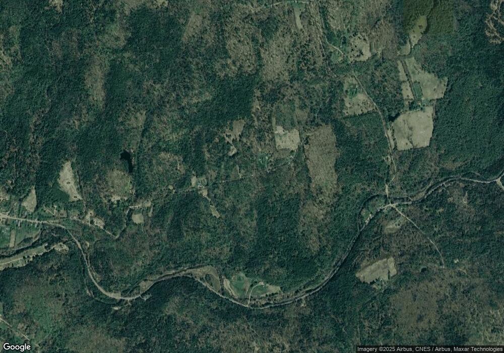
24 Ella Ball Rd Sullivan, NH 03445
Estimated Value: $822,000 - $1,300,605
4
Beds
3
Baths
5,880
Sq Ft
$180/Sq Ft
Est. Value
About This Home
This home is located at 24 Ella Ball Rd, Sullivan, NH 03445 and is currently estimated at $1,061,303, approximately $180 per square foot. 24 Ella Ball Rd is a home with nearby schools including Walpole Primary School, North Walpole School, and Walpole Elementary School.
Ownership History
Date
Name
Owned For
Owner Type
Purchase Details
Closed on
Jul 31, 2024
Sold by
Richard M Hotchkiss Ret and Shanahan
Bought by
Colleen A Shanahan Ret and Shanahan
Current Estimated Value
Purchase Details
Closed on
Oct 27, 2021
Sold by
Hotchkiss Richard M
Bought by
Richard M Hotchkiss Ret and Hotchkiss
Create a Home Valuation Report for This Property
The Home Valuation Report is an in-depth analysis detailing your home's value as well as a comparison with similar homes in the area
Home Values in the Area
Average Home Value in this Area
Purchase History
| Date | Buyer | Sale Price | Title Company |
|---|---|---|---|
| Colleen A Shanahan Ret | -- | None Available | |
| Colleen A Shanahan Ret | -- | None Available | |
| Richard M Hotchkiss Ret | -- | None Available | |
| Richard M Hotchkiss Ret | -- | None Available |
Source: Public Records
Tax History
| Year | Tax Paid | Tax Assessment Tax Assessment Total Assessment is a certain percentage of the fair market value that is determined by local assessors to be the total taxable value of land and additions on the property. | Land | Improvement |
|---|---|---|---|---|
| 2024 | $17,729 | $980,019 | $115,319 | $864,700 |
| 2023 | $18,242 | $556,165 | $54,365 | $501,800 |
| 2022 | $14,698 | $556,334 | $54,534 | $501,800 |
| 2021 | $13,086 | $557,099 | $55,299 | $501,800 |
| 2020 | $14,623 | $556,852 | $55,052 | $501,800 |
| 2019 | $12,392 | $556,942 | $55,142 | $501,800 |
| 2018 | $16,682 | $495,150 | $52,550 | $442,600 |
| 2017 | $15,731 | $494,679 | $52,079 | $442,600 |
| 2016 | $15,619 | $494,592 | $51,992 | $442,600 |
| 2015 | $12,991 | $486,199 | $51,699 | $434,500 |
| 2014 | $12,593 | $486,209 | $71,309 | $414,900 |
| 2013 | $17,541 | $596,232 | $87,032 | $509,200 |
Source: Public Records
Map
Nearby Homes
- 0 Old Gilsum Rd Unit 5034729
- 521 County Rd
- 1100 Route 12a
- 24 Village Rd
- 28 Village Rd
- 692 Old Walpole Rd
- 95 Blackjack Crossing
- 363 March Hill Rd
- 300 Wentworth Rd
- 337 Old Keene Rd
- Lot 27-1 Old Walpole Rd
- 1813 Route 12
- 14 Hurricane Rd
- 101 Wentworth Rd
- 33 Maclean Rd
- 31 Wentworth Rd
- 61 Elm St
- 26 Old North Main St
- 24 Westminster St
- 000 S Village Rd Unit 13
- 25 Scovill Rd
- 29 Scovill Rd
- 22 Scovill Rd
- 19 Merriam Rd
- 19 Merriam Rd
- 32 Merriam Rd
- 42 Merriam Rd
- 17 Merriam Rd
- 36 Scovill Rd
- 86 Scovill Rd
- 53 Merriam Rd
- 1 Merriam Rd
- 60 Merriam Rd
- 18 Merriam Rd
- 0 Merriam Rd
- 0 Merriam Rd Unit 4696177
- 64 Carpenter Hill Rd
- 63 Merriam Rd
- 26 Goldsmith Tavern Rd
- 66 Scovill Rd
