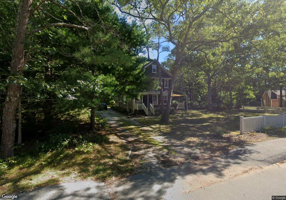
24 Highland Ave Cotuit, MA 02635
Cotuit NeighborhoodEstimated Value: $676,000 - $1,013,000
3
Beds
2
Baths
1,683
Sq Ft
$491/Sq Ft
Est. Value
About This Home
This home is located at 24 Highland Ave, Cotuit, MA 02635 and is currently estimated at $826,037, approximately $490 per square foot. 24 Highland Ave is a home located in Barnstable County with nearby schools including West Villages Elementary School, Barnstable United Elementary School, and Barnstable Intermediate School.
Ownership History
Date
Name
Owned For
Owner Type
Purchase Details
Closed on
Aug 20, 2008
Sold by
Daniell Brian R
Bought by
Daniell Brian R and Daniell Yangyang Qin
Current Estimated Value
Purchase Details
Closed on
Jul 24, 1992
Sold by
Carew Leslie Reid
Bought by
Daniel Brian R
Home Financials for this Owner
Home Financials are based on the most recent Mortgage that was taken out on this home.
Original Mortgage
$75,000
Interest Rate
8.49%
Mortgage Type
Purchase Money Mortgage
Create a Home Valuation Report for This Property
The Home Valuation Report is an in-depth analysis detailing your home's value as well as a comparison with similar homes in the area
Home Values in the Area
Average Home Value in this Area
Purchase History
| Date | Buyer | Sale Price | Title Company |
|---|---|---|---|
| Daniell Brian R | -- | -- | |
| Daniell Brian R | -- | -- | |
| Daniel Brian R | $105,000 | -- | |
| Daniel Brian R | $105,000 | -- |
Source: Public Records
Mortgage History
| Date | Status | Borrower | Loan Amount |
|---|---|---|---|
| Previous Owner | Daniel Brian R | $75,000 |
Source: Public Records
Tax History Compared to Growth
Tax History
| Year | Tax Paid | Tax Assessment Tax Assessment Total Assessment is a certain percentage of the fair market value that is determined by local assessors to be the total taxable value of land and additions on the property. | Land | Improvement |
|---|---|---|---|---|
| 2025 | $5,505 | $659,300 | $263,800 | $395,500 |
| 2024 | $4,989 | $633,100 | $263,800 | $369,300 |
| 2023 | $4,828 | $576,800 | $261,000 | $315,800 |
| 2022 | $4,370 | $422,600 | $167,200 | $255,400 |
| 2021 | $4,521 | $409,500 | $177,700 | $231,800 |
| 2020 | $4,452 | $380,200 | $188,100 | $192,100 |
| 2019 | $4,646 | $391,100 | $198,600 | $192,500 |
| 2018 | $4,324 | $364,000 | $198,000 | $166,000 |
| 2017 | $4,302 | $364,600 | $203,500 | $161,100 |
| 2016 | $4,217 | $366,400 | $205,300 | $161,100 |
| 2015 | $4,541 | $394,200 | $200,400 | $193,800 |
Source: Public Records
Map
Nearby Homes
- 43 Poponessett Rd
- 266 School St
- 916 Main St
- 5 Putnam Ave
- 30 Wings Ln
- 1081 Main St
- 15 E Riverview Ave Unit 15E
- 135 Putnam Ave
- 15 Riverview Ave Unit 15E
- 105 Bay Rd
- 6 Cedar St
- 6 Cedar St
- 188 Ocean View Ave
- 46 Oak St
- 46 Oak St
- 16 Cedar St
- 1311 Main St
- 426 Old Post Rd
- 320 Quinaquisset Ave
- 640 Poponessett Rd