24 Laurel Lake W Weston, CT 06883
Estimated Value: $1,324,000 - $1,754,000
--
Bed
4
Baths
--
Sq Ft
1.04
Acres
About This Home
This home is located at 24 Laurel Lake W, Weston, CT 06883 and is currently estimated at $1,584,890. 24 Laurel Lake W is a home located in Fairfield County with nearby schools including Hurlbutt Elementary School, Weston Intermediate School, and Weston Middle School.
Ownership History
Date
Name
Owned For
Owner Type
Purchase Details
Closed on
Jun 2, 2022
Sold by
Hensinger Jeannette and Hensinger Michael
Bought by
Jeannette C Hensinger Ret
Current Estimated Value
Purchase Details
Closed on
Nov 19, 1999
Sold by
Casper John and Casper Dini
Bought by
Hensinger Jeannette and Hensinger Michael
Home Financials for this Owner
Home Financials are based on the most recent Mortgage that was taken out on this home.
Original Mortgage
$410,000
Interest Rate
7.76%
Mortgage Type
Purchase Money Mortgage
Create a Home Valuation Report for This Property
The Home Valuation Report is an in-depth analysis detailing your home's value as well as a comparison with similar homes in the area
Home Values in the Area
Average Home Value in this Area
Purchase History
| Date | Buyer | Sale Price | Title Company |
|---|---|---|---|
| Jeannette C Hensinger Ret | -- | None Available | |
| Hensinger Jeannette | $610,000 | -- |
Source: Public Records
Mortgage History
| Date | Status | Borrower | Loan Amount |
|---|---|---|---|
| Previous Owner | Hensinger Jeannette | $346,000 | |
| Previous Owner | Hensinger Jeannette | $360,000 | |
| Previous Owner | Hensinger Jeannette | $402,000 | |
| Previous Owner | Hensinger Jeannette | $410,000 |
Source: Public Records
Tax History Compared to Growth
Tax History
| Year | Tax Paid | Tax Assessment Tax Assessment Total Assessment is a certain percentage of the fair market value that is determined by local assessors to be the total taxable value of land and additions on the property. | Land | Improvement |
|---|---|---|---|---|
| 2025 | $24,630 | $1,030,540 | $216,440 | $814,100 |
| 2024 | $24,187 | $1,030,540 | $216,440 | $814,100 |
| 2023 | $22,660 | $685,410 | $216,410 | $469,000 |
| 2022 | $22,598 | $685,410 | $216,410 | $469,000 |
| 2021 | $22,564 | $685,410 | $216,410 | $469,000 |
| 2020 | $22,187 | $685,410 | $216,410 | $469,000 |
| 2019 | $22,187 | $685,410 | $216,410 | $469,000 |
| 2018 | $21,455 | $730,000 | $225,600 | $504,400 |
| 2017 | $21,104 | $730,000 | $225,600 | $504,400 |
| 2016 | $20,849 | $730,000 | $225,600 | $504,400 |
| 2015 | $19,421 | $677,400 | $225,600 | $451,800 |
| 2014 | $19,155 | $678,300 | $225,600 | $452,700 |
Source: Public Records
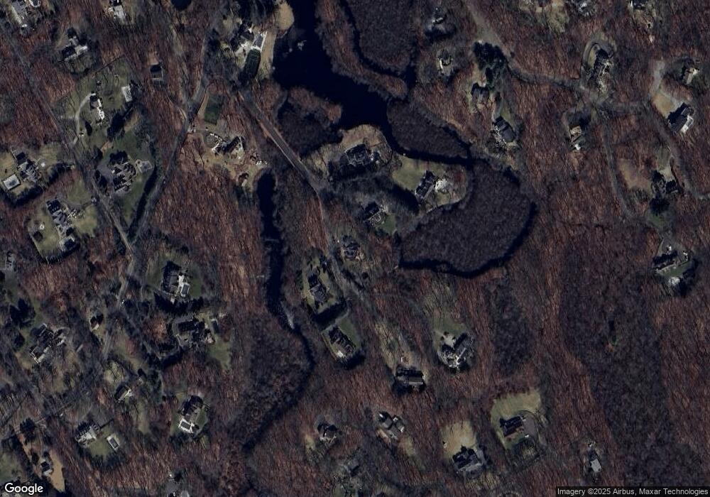
Map
Nearby Homes
- 76 Lords Hwy
- 27 Rogues Ridge
- 29 Salem Rd
- 193 Newtown Turnpike
- 225 Good Hill Rd
- 5 Walker Ln
- 214 Good Hill Rd
- 28 Old Orchard Dr
- 262 Lyons Plain Rd
- 260 Lyons Plain Rd
- 198 Steep Hill Rd
- 191 Steep Hill Rd
- 326 Georgetown Rd
- 8 Hedgerow Common
- 4 Colony Rd
- 335 Georgetown Rd
- 15 Mountain View Dr
- 81 Norfield Rd
- 4 Trails End Rd
- 24 Nordholm Dr
- 20 Laurel Lake W
- 9 Laurel Lake W
- 9 Laurel Lake W
- 12 Laurel Lake W
- 11 Laurel Lake W
- 18 Laurel Lake W
- 30 Laurel Lake W
- 34 Laurel Lake W
- 87 Lords Hwy
- 87A Lords Hwy
- 75 Lords Hwy
- 77 Lords Hwy
- 65 Beaverbrook Rd
- 80 Beaverbrook Rd
- 83 Lords Hwy
- 21 Laurel Lake E
- 19 Laurel Lake E
- 17 Laurel Lake E
- 0 Birch Hill Rd Unit B982270
- 0 Birch Hill Rd Unit B984873