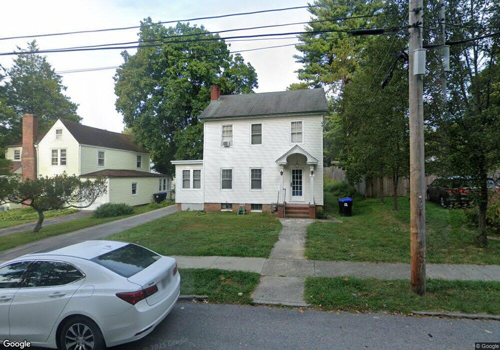
24 Marian Ave Poughkeepsie, NY 12601
Estimated Value: $347,000 - $394,000
3
Beds
1
Bath
1,392
Sq Ft
$263/Sq Ft
Est. Value
About This Home
This home is located at 24 Marian Ave, Poughkeepsie, NY 12601 and is currently estimated at $366,299, approximately $263 per square foot. 24 Marian Ave is a home located in Dutchess County with nearby schools including Poughkeepsie High School, Poughkeepsie Community Seventh-Day Adventist School, and Tabernacle Christian Academy.
Ownership History
Date
Name
Owned For
Owner Type
Purchase Details
Closed on
Jan 10, 2019
Sold by
Gerth Michael
Bought by
Millington David and Millington Josely
Current Estimated Value
Home Financials for this Owner
Home Financials are based on the most recent Mortgage that was taken out on this home.
Original Mortgage
$98,188
Outstanding Balance
$88,222
Interest Rate
5.75%
Mortgage Type
FHA
Estimated Equity
$278,077
Create a Home Valuation Report for This Property
The Home Valuation Report is an in-depth analysis detailing your home's value as well as a comparison with similar homes in the area
Home Values in the Area
Average Home Value in this Area
Purchase History
| Date | Buyer | Sale Price | Title Company |
|---|---|---|---|
| Millington David | $100,000 | -- | |
| Millington David | $100,000 | -- |
Source: Public Records
Mortgage History
| Date | Status | Borrower | Loan Amount |
|---|---|---|---|
| Open | Millington David | $98,188 | |
| Closed | Millington David | $98,188 |
Source: Public Records
Tax History
| Year | Tax Paid | Tax Assessment Tax Assessment Total Assessment is a certain percentage of the fair market value that is determined by local assessors to be the total taxable value of land and additions on the property. | Land | Improvement |
|---|---|---|---|---|
| 2024 | $7,708 | $272,300 | $59,400 | $212,900 |
| 2023 | $7,873 | $261,800 | $59,400 | $202,400 |
| 2022 | $6,324 | $238,000 | $54,000 | $184,000 |
| 2021 | $6,431 | $216,400 | $54,000 | $162,400 |
| 2020 | $7,108 | $202,200 | $54,000 | $148,200 |
| 2019 | $7,069 | $194,400 | $54,000 | $140,400 |
| 2018 | $7,411 | $190,600 | $54,000 | $136,600 |
| 2017 | $7,399 | $188,700 | $54,000 | $134,700 |
| 2016 | $7,077 | $185,000 | $54,000 | $131,000 |
| 2015 | -- | $188,800 | $54,000 | $134,800 |
| 2014 | -- | $188,800 | $54,000 | $134,800 |
Source: Public Records
Map
Nearby Homes
- 6 Rosalind Rd
- 113 Hooker Ave
- 7 Ferris Ln
- 34 Adriance Ave
- 11 Seaman Rd
- 6 Glenwood Ave
- 34 Woodland Ave
- 13 Parkwood Blvd
- 51 Woodland Ave
- 31 Wilson Blvd
- 111 S Hamilton St
- 54 Oakwood Blvd
- 160 Academy St Unit 2C
- 160 Academy St Unit 7H
- 160 Academy St Unit 10N
- 160 Academy St Unit L1
- 160 Academy St Unit 6C
- 15 Bobrick Rd
- 33 Virginia Ave
- 19 Maryland Ave
Your Personal Tour Guide
Ask me questions while you tour the home.