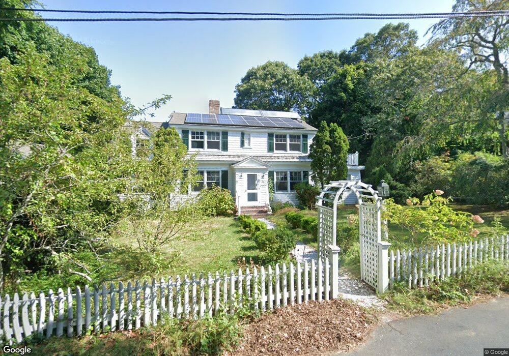
24 Poponessett Rd Cotuit, MA 02635
Cotuit NeighborhoodEstimated Value: $1,019,599 - $1,337,000
4
Beds
3
Baths
2,106
Sq Ft
$546/Sq Ft
Est. Value
About This Home
This home is located at 24 Poponessett Rd, Cotuit, MA 02635 and is currently estimated at $1,150,150, approximately $546 per square foot. 24 Poponessett Rd is a home located in Barnstable County with nearby schools including West Villages Elementary School, Barnstable United Elementary School, and Barnstable Intermediate School.
Ownership History
Date
Name
Owned For
Owner Type
Purchase Details
Closed on
Mar 11, 2024
Sold by
Lyall Carol C
Bought by
24 Poponessett Irt and Lyall
Current Estimated Value
Purchase Details
Closed on
Jul 23, 2019
Sold by
24 Popponesset Road Rt and Lyall
Bought by
Carol Curran Lyall T and Carol Curran-Lyall
Purchase Details
Closed on
Jan 27, 2016
Sold by
Carol C Lyall T C and Carol Lyall
Bought by
24 Popponesset Road Rt and Lyall
Purchase Details
Closed on
Jun 14, 2010
Sold by
Lyall Carol C
Bought by
Carol C Lyall T C and Carol Lyall
Purchase Details
Closed on
Jun 5, 2008
Sold by
Plummer Jacqueline and Plummer Reed K
Bought by
Heine Jill A
Create a Home Valuation Report for This Property
The Home Valuation Report is an in-depth analysis detailing your home's value as well as a comparison with similar homes in the area
Home Values in the Area
Average Home Value in this Area
Purchase History
| Date | Buyer | Sale Price | Title Company |
|---|---|---|---|
| 24 Poponessett Irt | -- | None Available | |
| Lyall Carol C | -- | None Available | |
| Carol Curran Lyall T | -- | -- | |
| 24 Popponesset Road Rt | -- | -- | |
| Carol C Lyall T C | -- | -- | |
| Heine Jill A | $623,500 | -- |
Source: Public Records
Tax History Compared to Growth
Tax History
| Year | Tax Paid | Tax Assessment Tax Assessment Total Assessment is a certain percentage of the fair market value that is determined by local assessors to be the total taxable value of land and additions on the property. | Land | Improvement |
|---|---|---|---|---|
| 2025 | $6,022 | $721,200 | $264,900 | $456,300 |
| 2024 | $5,440 | $690,400 | $264,900 | $425,500 |
| 2023 | $5,204 | $621,800 | $262,100 | $359,700 |
| 2022 | $4,850 | $469,100 | $167,900 | $301,200 |
| 2021 | $5,113 | $463,100 | $178,400 | $284,700 |
| 2020 | $5,029 | $429,500 | $188,900 | $240,600 |
| 2019 | $5,154 | $433,800 | $199,400 | $234,400 |
| 2018 | $4,693 | $395,000 | $198,900 | $196,100 |
| 2017 | $4,712 | $399,300 | $204,400 | $194,900 |
| 2016 | $4,618 | $401,200 | $206,300 | $194,900 |
| 2015 | $4,851 | $421,100 | $201,600 | $219,500 |
Source: Public Records
Map
Nearby Homes
- 43 Poponessett Rd
- 916 Main St
- 1081 Main St
- 30 Wings Ln
- 5 Putnam Ave
- 266 School St
- 188 Ocean View Ave
- 135 Putnam Ave
- 6 Cedar St
- 6 Cedar St
- 1311 Main St
- 46 Oak St
- 46 Oak St
- 105 Bay Rd
- 15 E Riverview Ave Unit 15E
- 15 Riverview Ave Unit 15E
- 426 Old Post Rd
- 16 Cedar St
- 440 Grand Island Dr
- Lot 288 Seapuit River Rd A