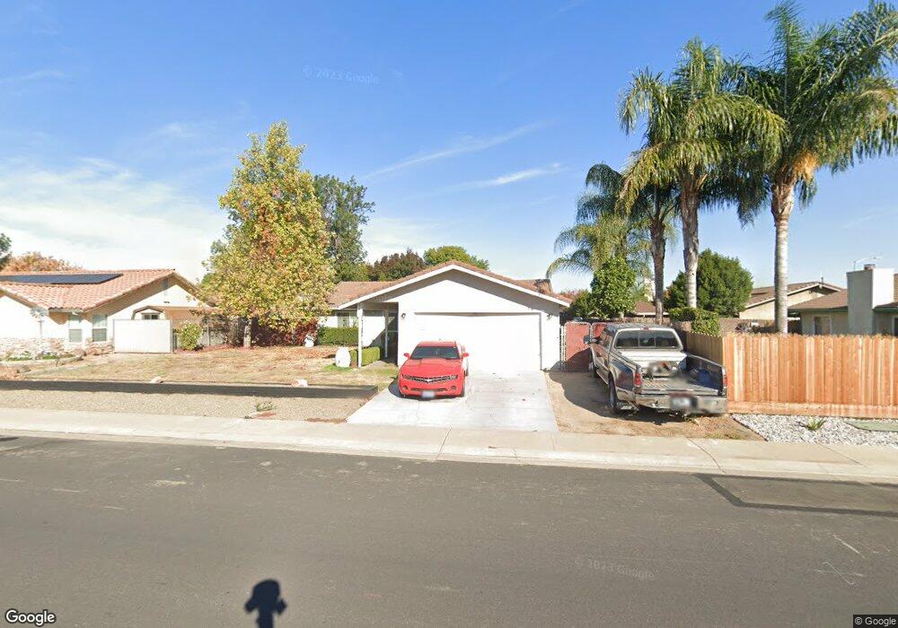
243 Birchwood St Manteca, CA 95336
Downtown Manteca NeighborhoodEstimated Value: $463,000 - $526,724
3
Beds
2
Baths
1,676
Sq Ft
$300/Sq Ft
Est. Value
About This Home
This home is located at 243 Birchwood St, Manteca, CA 95336 and is currently estimated at $503,181, approximately $300 per square foot. 243 Birchwood St is a home located in San Joaquin County with nearby schools including Neil Hafley Elementary School and East Union High School.
Ownership History
Date
Name
Owned For
Owner Type
Purchase Details
Closed on
Nov 6, 2006
Sold by
Ellis Robert
Bought by
Ellis Robert and Ellis Debraun
Current Estimated Value
Home Financials for this Owner
Home Financials are based on the most recent Mortgage that was taken out on this home.
Original Mortgage
$282,000
Interest Rate
6.28%
Mortgage Type
New Conventional
Purchase Details
Closed on
Oct 22, 2004
Sold by
Ellis Robert
Bought by
Ellis Robert
Home Financials for this Owner
Home Financials are based on the most recent Mortgage that was taken out on this home.
Original Mortgage
$224,500
Interest Rate
5.72%
Mortgage Type
New Conventional
Create a Home Valuation Report for This Property
The Home Valuation Report is an in-depth analysis detailing your home's value as well as a comparison with similar homes in the area
Home Values in the Area
Average Home Value in this Area
Purchase History
| Date | Buyer | Sale Price | Title Company |
|---|---|---|---|
| Ellis Robert | -- | None Available | |
| Ellis Robert | -- | Alliance Title Co |
Source: Public Records
Mortgage History
| Date | Status | Borrower | Loan Amount |
|---|---|---|---|
| Closed | Ellis Robert | $282,000 | |
| Closed | Ellis Robert | $224,500 |
Source: Public Records
Tax History
| Year | Tax Paid | Tax Assessment Tax Assessment Total Assessment is a certain percentage of the fair market value that is determined by local assessors to be the total taxable value of land and additions on the property. | Land | Improvement |
|---|---|---|---|---|
| 2025 | $3,279 | $300,542 | $117,219 | $183,323 |
| 2024 | $3,185 | $294,650 | $114,921 | $179,729 |
| 2023 | $3,146 | $288,873 | $112,668 | $176,205 |
| 2022 | $3,097 | $283,209 | $110,459 | $172,750 |
| 2021 | $3,062 | $277,657 | $108,294 | $169,363 |
| 2020 | $2,937 | $274,811 | $107,184 | $167,627 |
| 2019 | $2,898 | $269,424 | $105,083 | $164,341 |
| 2018 | $2,858 | $264,142 | $103,023 | $161,119 |
| 2017 | $2,815 | $258,963 | $101,003 | $157,960 |
| 2016 | $2,746 | $253,888 | $99,023 | $154,865 |
| 2014 | $2,550 | $245,176 | $95,625 | $149,551 |
Source: Public Records
Map
Nearby Homes
- 1859 Elmwood Ln
- 2041 Holbrook Place
- 6288 E Lathrop Rd
- 2016 Westboro Ln
- 1648 Olivewood Ave
- 1350 Laurel Dr
- 1479 Santini Ave
- 1449 Dorona Ln
- 1496 Crimson Ln
- 1414 Pajaro Ave Unit 41
- 1415 Crimson Ln
- 484 Pinehurst St
- 1275 Sweetbrier Place
- 1460 Ridgecrest Dr
- 598 Southland Rd
- 1255 Sweetbrier Place
- 324 Eva Ct
- 1155 Lorene Ave
- 1217 Princeton Place
- 619 Heathridge St
- 261 Birchwood St
- 1847 Elmwood Ln
- 1867 Elmwood Ln
- 279 Birchwood St
- 1876 Crestwood Ave
- 242 Dovewood Dr
- 1881 Elmwood Ln
- 240 Birchwood St
- 262 Birchwood St
- 222 Birchwood St
- 223 Cornerstone Way
- 264 Dovewood Dr
- 220 Dovewood Dr
- 1862 Elmwood Ln
- 280 Birchwood St
- 200 Birchwood St
- 183 Birchwood St
- 278 Dovewood Dr
- 1870 Elmwood Ln
- 251 Cornerstone Way
Your Personal Tour Guide
Ask me questions while you tour the home.