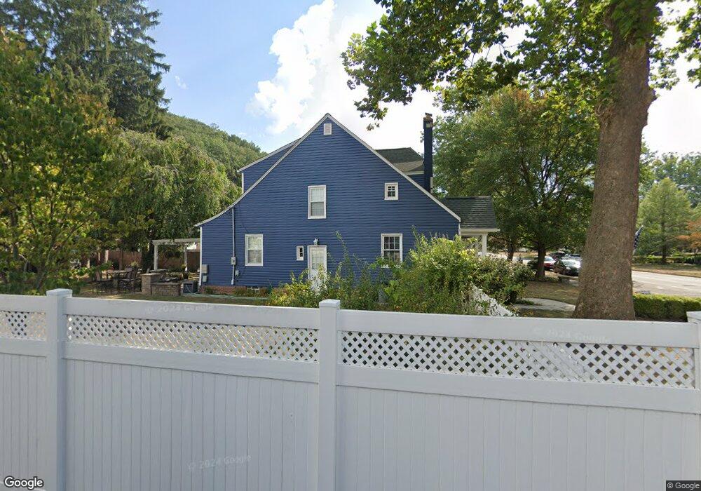
243 Lake St Lancaster, OH 43130
Estimated Value: $298,306 - $316,000
3
Beds
2
Baths
1,772
Sq Ft
$174/Sq Ft
Est. Value
About This Home
This home is located at 243 Lake St, Lancaster, OH 43130 and is currently estimated at $308,327, approximately $173 per square foot. 243 Lake St is a home located in Fairfield County with nearby schools including Thomas Ewing Junior High School, Lancaster High School, and St Mary Elementary School.
Ownership History
Date
Name
Owned For
Owner Type
Purchase Details
Closed on
Aug 14, 2021
Sold by
Mcclurg Joseph A and Mcclurg Jill M
Bought by
Koller Caitlin and Mcclurg Family Preservation Tr
Current Estimated Value
Purchase Details
Closed on
Jan 11, 2017
Sold by
Mcclurg Joseph A
Bought by
Koller Caitlin Trustee
Purchase Details
Closed on
Jul 1, 1988
Bought by
Mcclurg Joseph A
Create a Home Valuation Report for This Property
The Home Valuation Report is an in-depth analysis detailing your home's value as well as a comparison with similar homes in the area
Home Values in the Area
Average Home Value in this Area
Purchase History
| Date | Buyer | Sale Price | Title Company |
|---|---|---|---|
| Koller Caitlin | -- | None Available | |
| Koller Caitlin Trustee | -- | -- | |
| Mcclurg Joseph A | $78,000 | -- |
Source: Public Records
Tax History
| Year | Tax Paid | Tax Assessment Tax Assessment Total Assessment is a certain percentage of the fair market value that is determined by local assessors to be the total taxable value of land and additions on the property. | Land | Improvement |
|---|---|---|---|---|
| 2025 | $7,339 | $108,690 | $20,200 | $88,490 |
| 2024 | $7,339 | $81,630 | $13,060 | $68,570 |
| 2023 | $3,033 | $81,630 | $13,060 | $68,570 |
| 2022 | $2,965 | $79,340 | $13,060 | $66,280 |
| 2021 | $2,348 | $60,240 | $10,880 | $49,360 |
| 2020 | $753 | $60,240 | $10,880 | $49,360 |
| 2019 | $2,139 | $60,240 | $10,880 | $49,360 |
| 2018 | $599 | $47,170 | $10,880 | $36,290 |
| 2017 | $2,000 | $53,480 | $10,880 | $42,600 |
| 2016 | $1,948 | $53,480 | $10,880 | $42,600 |
| 2015 | $1,936 | $51,590 | $10,880 | $40,710 |
| 2014 | $1,844 | $51,590 | $10,880 | $40,710 |
| 2013 | $1,844 | $51,590 | $10,880 | $40,710 |
Source: Public Records
Map
Nearby Homes
- 311 E Allen St
- 165 Lake St
- 233 E 6th Ave
- 600 N High St
- 517 N Maple St
- 820 N Broad St
- 123 Arnold Ave
- 130 W Fair Ave
- 705 Madison Ave
- 17 Red Bud Ln
- 526 N Columbus St
- 641 King St
- 547 E Mulberry St
- 249 N Pearl Ave
- 736 E Allen St
- 515 N Columbus St
- 621 E Mulberry St
- 810 N Eastwood Ave
- 632 N Eastwood Ave
- 1156 Forest Rose Ave
Your Personal Tour Guide
Ask me questions while you tour the home.