243 Misty Ridge Trail Unit 4 Stockbridge, GA 30281
Estimated Value: $232,000 - $244,000
3
Beds
2
Baths
1,179
Sq Ft
$202/Sq Ft
Est. Value
About This Home
This home is located at 243 Misty Ridge Trail Unit 4, Stockbridge, GA 30281 and is currently estimated at $238,164, approximately $202 per square foot. 243 Misty Ridge Trail Unit 4 is a home located in Henry County with nearby schools including Stockbridge Elementary School, Smith-Barnes Elementary School, and Stockbridge Middle School.
Ownership History
Date
Name
Owned For
Owner Type
Purchase Details
Closed on
Aug 30, 2000
Sold by
Tim Jones Communities Inc
Bought by
Scott Stacey M
Current Estimated Value
Home Financials for this Owner
Home Financials are based on the most recent Mortgage that was taken out on this home.
Original Mortgage
$94,800
Outstanding Balance
$34,422
Interest Rate
8.24%
Mortgage Type
FHA
Estimated Equity
$203,742
Create a Home Valuation Report for This Property
The Home Valuation Report is an in-depth analysis detailing your home's value as well as a comparison with similar homes in the area
Home Values in the Area
Average Home Value in this Area
Purchase History
| Date | Buyer | Sale Price | Title Company |
|---|---|---|---|
| Scott Stacey M | $96,100 | -- | |
| Tim Jones Communities Inc | $18,000 | -- |
Source: Public Records
Mortgage History
| Date | Status | Borrower | Loan Amount |
|---|---|---|---|
| Open | Tim Jones Communities Inc | $94,800 |
Source: Public Records
Tax History Compared to Growth
Tax History
| Year | Tax Paid | Tax Assessment Tax Assessment Total Assessment is a certain percentage of the fair market value that is determined by local assessors to be the total taxable value of land and additions on the property. | Land | Improvement |
|---|---|---|---|---|
| 2025 | $3,176 | $99,520 | $17,480 | $82,040 |
| 2024 | $3,176 | $93,840 | $17,520 | $76,320 |
| 2023 | $2,468 | $88,280 | $15,000 | $73,280 |
| 2022 | $2,344 | $72,920 | $10,000 | $62,920 |
| 2021 | $1,957 | $56,560 | $10,000 | $46,560 |
| 2020 | $1,894 | $53,880 | $10,000 | $43,880 |
| 2019 | $1,639 | $46,800 | $10,000 | $36,800 |
| 2018 | $1,548 | $42,960 | $10,000 | $32,960 |
| 2016 | $1,177 | $33,080 | $7,520 | $25,560 |
| 2015 | $1,095 | $30,440 | $7,520 | $22,920 |
| 2014 | $1,095 | $30,240 | $6,000 | $24,240 |
Source: Public Records
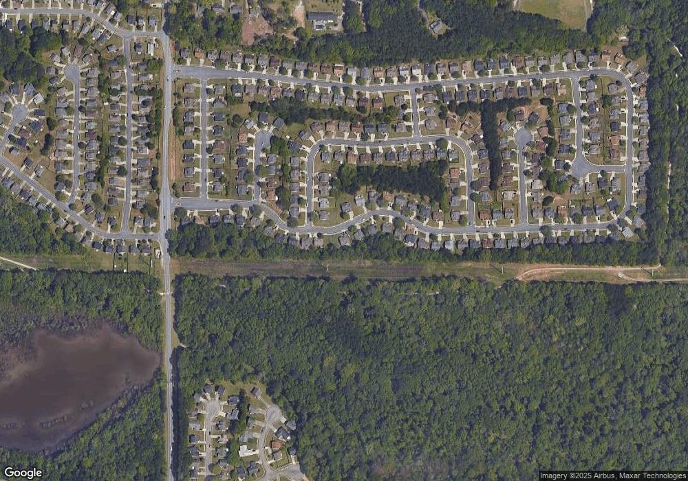
Map
Nearby Homes
- 0 Tye St Unit 10634748
- 0 Tye St Unit 20124844
- 44 Bay Cove Dr
- 32 Bay Cove Dr
- 155 Tye St
- 169 Misty Ridge Trail
- 614 Tramore Ct
- 843 Tramore Dr
- 136 Glynn Addy Dr
- 145 Glynn Addy Dr Unit 5
- 318 Eagle Ct
- 213 Baron Ct
- 184 Eagle Way
- 9 Cheyenne Dr
- 118 Tye St
- 200 Glynn Addy Dr Unit 5
- 235 Alexis Ave
- 816 Lorraine Ln Unit 4
- 513 McCain Creek Trail
- 500 McCain Creek Trail
- 239 Misty Ridge Trail Unit 239
- 239 Misty Ridge Trail
- 245 Misty Ridge Trail
- 500 Creekview Overlook
- 500 Creekview Overlook Unit 3
- 500 Creekview Overlook Unit 1
- 247 Misty Ridge Trail
- 247 Misty Ridge Trail Unit 4
- 237 Misty Ridge Trail Unit 4
- 237 Misty Ridge Trail Unit 15
- 0 Creekview Overlook Unit 8870503
- 0 Creekview Overlook Unit 8383002
- 0 Creekview Overlook Unit 9072004
- 0 Creekview Overlook Unit 3118876
- 502 Creekview Overlook
- 502 Creekview Overlook Unit 3
- 235 Misty Ridge Trail
- 235 Misty Ridge Trail Unit 4
- 249 Misty Ridge Trail Unit 4
- 204 Misty Ridge Trail