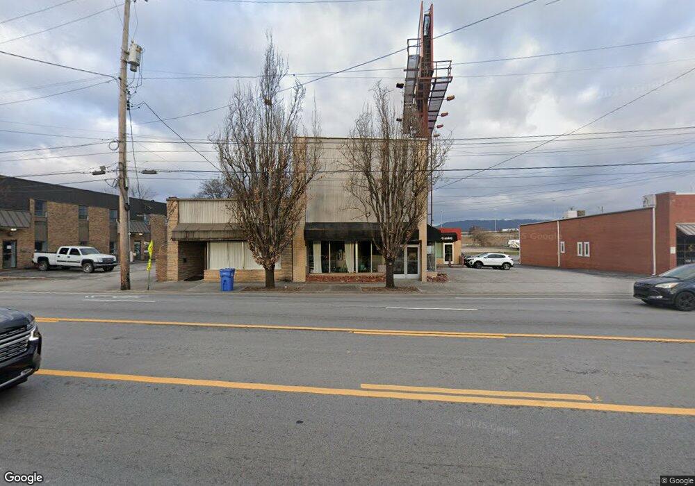
2433 Broad St Chattanooga, TN 37408
Southside Neighborhood
--
Bed
--
Bath
1,850
Sq Ft
1
Acres
About This Home
This home is located at 2433 Broad St, Chattanooga, TN 37408. 2433 Broad St is a home located in Hamilton County with nearby schools including Orchard Knob Middle School, The Howard School, and Chattanooga Christian School.
Ownership History
Date
Name
Owned For
Owner Type
Purchase Details
Closed on
Aug 15, 2005
Sold by
Wood William Stuart and Neidich Rachel C
Bought by
2433 South Broad Inc
Purchase Details
Closed on
Aug 20, 2004
Sold by
Cornerstone Community Bank
Bought by
Wood William Stuart and Neidich Rachel C
Home Financials for this Owner
Home Financials are based on the most recent Mortgage that was taken out on this home.
Original Mortgage
$360,000
Interest Rate
5.96%
Mortgage Type
Seller Take Back
Purchase Details
Closed on
Nov 16, 2000
Sold by
Carter David L and Carter Lori A
Bought by
Cornerstone Community Bank
Purchase Details
Closed on
Jun 30, 1997
Sold by
Wamp Donald L
Bought by
Carter David L and Carter Lori A
Home Financials for this Owner
Home Financials are based on the most recent Mortgage that was taken out on this home.
Original Mortgage
$186,000
Interest Rate
7.93%
Mortgage Type
Commercial
Create a Home Valuation Report for This Property
The Home Valuation Report is an in-depth analysis detailing your home's value as well as a comparison with similar homes in the area
Home Values in the Area
Average Home Value in this Area
Purchase History
| Date | Buyer | Sale Price | Title Company |
|---|---|---|---|
| 2433 South Broad Inc | -- | -- | |
| Wood William Stuart | $250,000 | Pioneer Title Agency Inc | |
| Cornerstone Community Bank | $236,000 | -- | |
| Carter David L | $79,500 | -- |
Source: Public Records
Mortgage History
| Date | Status | Borrower | Loan Amount |
|---|---|---|---|
| Previous Owner | Wood William Stuart | $360,000 | |
| Previous Owner | Carter David L | $186,000 |
Source: Public Records
Tax History Compared to Growth
Tax History
| Year | Tax Paid | Tax Assessment Tax Assessment Total Assessment is a certain percentage of the fair market value that is determined by local assessors to be the total taxable value of land and additions on the property. | Land | Improvement |
|---|---|---|---|---|
| 2024 | $3,876 | $173,240 | $0 | $0 |
| 2023 | $3,876 | $173,240 | $0 | $0 |
| 2022 | $3,876 | $173,240 | $0 | $0 |
| 2021 | $3,876 | $173,240 | $0 | $0 |
| 2020 | $3,600 | $130,200 | $0 | $0 |
| 2019 | $3,600 | $130,200 | $0 | $0 |
| 2018 | $3,471 | $130,200 | $0 | $0 |
| 2017 | $3,600 | $130,200 | $0 | $0 |
| 2016 | $3,271 | $0 | $0 | $0 |
| 2015 | $6,463 | $118,280 | $0 | $0 |
| 2014 | $6,463 | $0 | $0 | $0 |
Source: Public Records
Map
Nearby Homes
- 757 Burnside Place
- 789 Burnside Place
- 737 Burnside Place
- 2642 Broad St
- 825 Burnside Place
- 277 W 19th St
- 114 W 19th St
- 310 W 18th St
- 1966 Mitchell Ave
- 1704 Williams St
- 1714 Long St
- 164 W 17th St Unit 164
- 1493 Sinclair Ave
- 1967 Read Ave
- 201 W 17th St
- 1728 Mitchell Ave
- 8 W 17th St Unit 2
- 1609 Long St
- 280 W 16th St
- 68 E 17th St