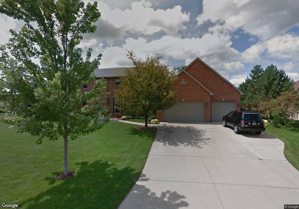
2441 Crown Pointe Blvd Suamico, WI 54173
Estimated Value: $812,000 - $858,000
Studio
--
Bath
--
Sq Ft
0.42
Acres
About This Home
This home is located at 2441 Crown Pointe Blvd, Suamico, WI 54173 and is currently estimated at $835,253. 2441 Crown Pointe Blvd is a home located in Brown County with nearby schools including Bay Harbor Elementary School, Lineville Intermediate School, and Bay View Middle School.
Ownership History
Date
Name
Owned For
Owner Type
Purchase Details
Closed on
Jun 5, 2006
Sold by
Mccollister Russell D and Mccollister Harriet C
Bought by
Romes Michael P and Romes Rosemarie B
Current Estimated Value
Home Financials for this Owner
Home Financials are based on the most recent Mortgage that was taken out on this home.
Original Mortgage
$336,800
Interest Rate
6.45%
Mortgage Type
Purchase Money Mortgage
Create a Home Valuation Report for This Property
The Home Valuation Report is an in-depth analysis detailing your home's value as well as a comparison with similar homes in the area
Home Values in the Area
Average Home Value in this Area
Purchase History
| Date | Buyer | Sale Price | Title Company |
|---|---|---|---|
| Romes Michael P | $421,000 | Green Bay Title Co Inc |
Source: Public Records
Mortgage History
| Date | Status | Borrower | Loan Amount |
|---|---|---|---|
| Previous Owner | Romes Michael P | $336,800 |
Source: Public Records
Tax History Compared to Growth
Tax History
| Year | Tax Paid | Tax Assessment Tax Assessment Total Assessment is a certain percentage of the fair market value that is determined by local assessors to be the total taxable value of land and additions on the property. | Land | Improvement |
|---|---|---|---|---|
| 2024 | $9,740 | $550,500 | $114,300 | $436,200 |
| 2023 | $9,621 | $550,500 | $114,300 | $436,200 |
| 2022 | $9,442 | $550,500 | $114,300 | $436,200 |
| 2021 | $8,917 | $550,500 | $114,300 | $436,200 |
| 2020 | $8,971 | $550,500 | $114,300 | $436,200 |
| 2019 | $7,967 | $400,300 | $74,500 | $325,800 |
| 2018 | $7,667 | $400,300 | $74,500 | $325,800 |
| 2017 | $7,579 | $400,300 | $74,500 | $325,800 |
| 2016 | $7,327 | $400,300 | $74,500 | $325,800 |
| 2015 | $7,163 | $400,300 | $74,500 | $325,800 |
| 2014 | $7,516 | $400,300 | $74,500 | $325,800 |
| 2013 | $7,516 | $400,300 | $74,500 | $325,800 |
Source: Public Records
Map
Nearby Homes
- 2442 Loxley Ct
- 2753 Summerset Cir
- 1429 Harbor Lights Rd
- 2192 E Deerfield Ave
- 0 E Deerfield Ave
- 0 Maple Grove Unit 50315677
- 0 Maple Grove Unit 50315674
- 0 Maple Grove Unit 50315676
- 0 Sunset Beach Rd
- 0 Harbor Cove Ln
- 2592 Farmington Way Unit 17
- 2592 Farmington Way
- 2664 Chambers Crossing
- 2652 Chambers Crossing
- 1968 Trenton Ln
- 2658 Chambers Crossing
- 2623 Chambers Crossing
- 1926 River Hill Ct
- 12056 Velp Ave
- 2055 S Tanager Ln
- 2425 Crown Pointe Blvd
- 2463 Crown Pointe Blvd
- 1065 Camden Ct
- 2405 Crown Pointe Blvd
- 1064 Camden Ct
- 0 Crown Pointe Bl Unit 50048605
- 1139 Crown Pointe Cir
- 2396 Crown Pointe Blvd
- 1055 Camden Ct
- 1127 Crown Pointe Cir
- 2371 Crown Pointe Blvd
- 1136 Crown Pointe Cir
- 2387 Crown Pointe Blvd
- 1001 Crown Pointe Cir
- 1119 1119 Crown Pointe Cr
- 1007 Crown Pointe Cir
- 1100 Crown Pointe Cir
- 1059 Crown Pointe Cir
- 2505 Crown Pointe Blvd
- 1058 Wyndrush Dr