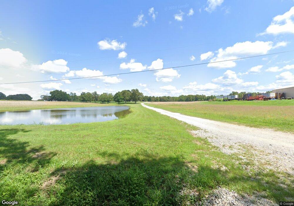
2445 Todd Rd Clarkrange, TN 38553
Estimated Value: $432,000 - $721,323
Studio
1
Bath
1,014
Sq Ft
$569/Sq Ft
Est. Value
About This Home
This home is located at 2445 Todd Rd, Clarkrange, TN 38553 and is currently estimated at $576,662, approximately $568 per square foot. 2445 Todd Rd is a home located in Fentress County.
Ownership History
Date
Name
Owned For
Owner Type
Purchase Details
Closed on
Nov 5, 2021
Sold by
Linder Linda and Linder James
Bought by
Maddle Wayne and Maddle Matthew
Current Estimated Value
Purchase Details
Closed on
Feb 8, 2019
Sold by
Maddle Anita and Phillips Anita
Bought by
Nelson Alesha and Nelson David
Create a Home Valuation Report for This Property
The Home Valuation Report is an in-depth analysis detailing your home's value as well as a comparison with similar homes in the area
Purchase History
| Date | Buyer | Sale Price | Title Company |
|---|---|---|---|
| Maddle Wayne | $30,000 | None Available | |
| Nelson Alesha | -- | None Available |
Source: Public Records
Tax History
| Year | Tax Paid | Tax Assessment Tax Assessment Total Assessment is a certain percentage of the fair market value that is determined by local assessors to be the total taxable value of land and additions on the property. | Land | Improvement |
|---|---|---|---|---|
| 2025 | $1,799 | $133,225 | $25,175 | $108,050 |
| 2024 | $1,799 | $133,225 | $25,175 | $108,050 |
| 2023 | $1,799 | $133,225 | $25,175 | $108,050 |
| 2022 | $1,560 | $81,700 | $19,900 | $61,800 |
| 2021 | $1,560 | $81,700 | $19,900 | $61,800 |
| 2020 | $955 | $81,700 | $19,900 | $61,800 |
| 2019 | $585 | $29,900 | $18,750 | $11,150 |
| 2018 | $585 | $30,625 | $18,800 | $11,825 |
| 2017 | $555 | $27,975 | $15,625 | $12,350 |
| 2016 | $543 | $27,350 | $15,625 | $11,725 |
| 2015 | $543 | $27,350 | $0 | $0 |
| 2014 | $532 | $26,836 | $0 | $0 |
Source: Public Records
Map
Nearby Homes
- 1188 Clarkrange Monterey Hwy
- 3695 Martha Washington Rd
- 3669 Martha Washington Rd
- 120 Miller Rd
- 2047 Todd Rd
- 0 Old Martha Washington Rd
- 892 Norris Rd
- 6604 S York Hwy
- 6940 S York Hwy
- 221 Craig Rd
- 229 Craig Rd
- 2570 Martha Washington Rd
- 4.47 ac 523 Ferry Bend Tr
- 447 523 Ferry Bend Tr
- 515 Ferry Bend Trail
- 469 Ferry Bend Trail
- 523 Ferry Bend Trail
- 4.47 ac 523 Ferry Bend Trail
- 2019 Martha Washington Rd
- Lot 12 Ferry Bend Trail
- 0 Todd Rd
- 2451 Todd Rd
- 3333 Martha Washington Rd
- 3240 Martha Washington Rd
- 2385 Todd Rd
- 3344 Martha Washington Rd
- 1190 Campground Rd
- 2350 Todd Rd
- 1210 SW Campground Rd
- 1210 Campground Rd
- 3348 Martha Washington Rd
- 1220 Campground Rd
- 1197 Campground Rd
- 1140 Campground Rd
- 3170 Martha Washington Rd
- 1219 Campground Rd
- 1185 Campground Rd
- 125 Shaver Ln
- 199 Slate Falls Dr
- 124 Shaver Ln
