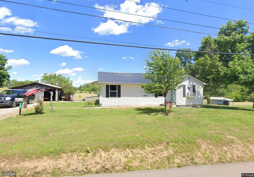
245 Rocky Branch Rd Rutledge, TN 37861
Estimated Value: $99,000 - $220,000
--
Bed
--
Bath
1,118
Sq Ft
$145/Sq Ft
Est. Value
About This Home
This home is located at 245 Rocky Branch Rd, Rutledge, TN 37861 and is currently estimated at $162,639, approximately $145 per square foot. 245 Rocky Branch Rd is a home with nearby schools including Rutledge Primary School, Rutledge Elementary School, and Rutledge Middle School.
Ownership History
Date
Name
Owned For
Owner Type
Purchase Details
Closed on
Oct 24, 2025
Sold by
Slagle Lela Janeene and Smith Michael
Bought by
Stansberry Keith and Stansberry S
Current Estimated Value
Purchase Details
Closed on
Dec 18, 2020
Sold by
Smith Lela Janeene Slagle and Smith Michael Eugene
Bought by
Stansberry Keith and Stansberry S
Purchase Details
Closed on
Feb 1, 2016
Sold by
Slagle Judy Le
Bought by
Slagle Judy Le Slagle Lela Janeene Rm
Purchase Details
Closed on
Jun 28, 2005
Sold by
Slagle Jake
Bought by
Slagle Michael W
Purchase Details
Closed on
Mar 12, 1986
Bought by
Slagle Jake and Slagle Judy F
Create a Home Valuation Report for This Property
The Home Valuation Report is an in-depth analysis detailing your home's value as well as a comparison with similar homes in the area
Home Values in the Area
Average Home Value in this Area
Purchase History
| Date | Buyer | Sale Price | Title Company |
|---|---|---|---|
| Stansberry Keith | $18,000 | None Listed On Document | |
| Stansberry Keith | $34,000 | None Available | |
| Slagle Judy Le Slagle Lela Janeene Rm | -- | -- | |
| Slagle Michael W | $1,000 | -- | |
| Slagle Jake | -- | -- |
Source: Public Records
Tax History Compared to Growth
Tax History
| Year | Tax Paid | Tax Assessment Tax Assessment Total Assessment is a certain percentage of the fair market value that is determined by local assessors to be the total taxable value of land and additions on the property. | Land | Improvement |
|---|---|---|---|---|
| 2025 | $227 | $23,100 | $0 | $0 |
| 2024 | $227 | $23,100 | $10,800 | $12,300 |
| 2023 | $227 | $23,100 | $10,800 | $12,300 |
| 2022 | $531 | $23,100 | $10,800 | $12,300 |
| 2021 | $531 | $23,100 | $10,800 | $12,300 |
| 2020 | $207 | $23,100 | $10,800 | $12,300 |
| 2019 | $830 | $29,625 | $20,450 | $9,175 |
| 2018 | $717 | $29,625 | $20,450 | $9,175 |
| 2017 | $717 | $29,625 | $20,450 | $9,175 |
| 2016 | $717 | $29,625 | $20,450 | $9,175 |
| 2015 | $712 | $29,625 | $20,450 | $9,175 |
| 2014 | $712 | $28,476 | $0 | $0 |
Source: Public Records
Map
Nearby Homes
- 1264 Highway11 S
- 8445 U S 11w
- 1711 Rocky Branch Rd
- 0 Avondale Hollow Rd
- Lots 5&6 Clint Williams Rd
- 0 Silent Ln Unit 1299563
- 0 Lester Jarnigan Rd Unit 707246
- 70 acres+- Perrin Hill Rd
- 5 Greenlee Rd
- 3500 Poor Valley Rd
- 0 Poor Valley Rd Unit 1281719
- 0 Poor Valley Rd Unit 1220825
- 127 Deer Ridge Dr
- 2900 Highway 11w S
- 58.5 Acres Greenlee Rd
- 979 Tennessee 92
- 979 Highway 92
- 5R2 Greenlee Rd
- 0 Deerridge Dr Unit 1185180
- Lot 100 Shiloh Springs Rd
- 165 Rocky Branch Rd
- 932 Cherry St
- 139 Rocky Branch Rd
- 136 Rocky Branch Rd
- 780 Cherry St
- 155 Laura Foster Dr
- 120 Highway 11w S
- 974 Cherry St
- 389 Rocky Branch Rd
- 430 Rocky Branch Rd
- 993 Cherry St
- 283 Highway 11w S
- 103 Rocky Flat Rd
- 1030 Cherry St
- 1030 Cherry St
- 121 Highway 11w S
- 140 Rocky Flat Rd
- 410 Highway 11w S
- 0 Rocky Flats Rd Unit 864015
- 125 Roberts Ln