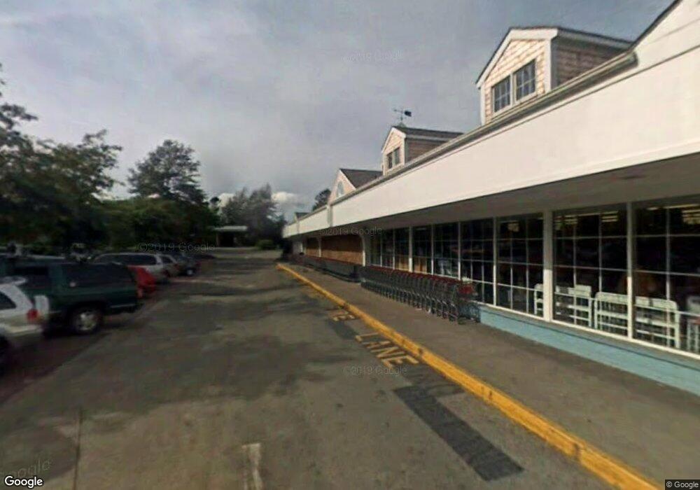
245 Upper Main St Edgartown, MA 02539
Edgartown NeighborhoodEstimated Value: $9,621,291
Studio
2
Baths
24,334
Sq Ft
$395/Sq Ft
Est. Value
About This Home
This home is located at 245 Upper Main St, Edgartown, MA 02539 and is currently estimated at $9,621,291, approximately $395 per square foot. 245 Upper Main St is a home located in Dukes County with nearby schools including Edgartown Elementary School and Martha's Vineyard Regional High School.
Ownership History
Date
Name
Owned For
Owner Type
Purchase Details
Closed on
Dec 1, 2004
Sold by
Upper Main Rt and Williams Anne B
Bought by
Colavolpe Tr Anthony J and Smith Marc E
Current Estimated Value
Create a Home Valuation Report for This Property
The Home Valuation Report is an in-depth analysis detailing your home's value as well as a comparison with similar homes in the area
Home Values in the Area
Average Home Value in this Area
Purchase History
| Date | Buyer | Sale Price | Title Company |
|---|---|---|---|
| Colavolpe Tr Anthony J | $3,000,000 | -- |
Source: Public Records
Mortgage History
| Date | Status | Borrower | Loan Amount |
|---|---|---|---|
| Previous Owner | Colavolpe Tr Anthony J | $750,000 |
Source: Public Records
Tax History
| Year | Tax Paid | Tax Assessment Tax Assessment Total Assessment is a certain percentage of the fair market value that is determined by local assessors to be the total taxable value of land and additions on the property. | Land | Improvement |
|---|---|---|---|---|
| 2025 | $15,955 | $6,020,700 | $812,300 | $5,208,400 |
| 2024 | $15,274 | $5,989,800 | $812,300 | $5,177,500 |
| 2023 | $7,832 | $3,107,800 | $754,300 | $2,353,500 |
| 2022 | $5,509 | $1,818,000 | $849,200 | $968,800 |
| 2021 | $5,963 | $1,818,000 | $849,200 | $968,800 |
| 2020 | $6,090 | $1,818,000 | $849,200 | $968,800 |
| 2019 | $7,036 | $1,818,000 | $849,200 | $968,800 |
| 2018 | $7,036 | $1,818,000 | $849,200 | $968,800 |
| 2017 | $6,388 | $1,799,400 | $849,200 | $950,200 |
| 2016 | $6,514 | $1,799,400 | $849,200 | $950,200 |
| 2015 | $6,244 | $1,799,400 | $849,200 | $950,200 |
Source: Public Records
Map
Nearby Homes
- 38 Pinehurst Rd
- 23 Pinehurst Rd
- 32 Norton Orchard Rd
- 35 Mariners Way
- 99 Cooke St
- 14 Trapps Pond Rd
- 44 Plantingfield Way Unit 2
- 44 Plantingfield Way
- 5 Louis Field Rd Unit 121.3
- 5 Louis Field Rd
- 10 Peases Point Way N
- 43 Peases Point Way S
- 69 School St
- 21 Clay Pit Rd
- 52 S Summer St
- 15 & 27 Pennywise Path Unit 33
- 23 Beetle Swamp Rd
- 68 N Water St
- 4
- 117 N Water St
- 225 Upper Main St
- 247 Upper Main St
- 16 Cyprien Way Unit 2
- 16 Cyprien Way Unit 1
- 14 Cyprien Way
- 242 Upper Main St
- 244 Upper Main St
- 244 Upper Main St Unit 2
- 244 Upper Main St Unit 4
- 244 Upper Main St Unit 1-5
- 244 Upper Main St Unit 3
- 244 Upper Main St Unit 1
- 244 Upper Main St Unit 5
- 10 Mayfield Ln
- 10 Mayfield Way
- 248 & 250 Upper Main St
- 250 Upper Main St (Being Sold W 248 Upper Main)
- 261 Upper Main St
- 248 Upper Main St
- 10 Cyprien Way
Your Personal Tour Guide
Ask me questions while you tour the home.