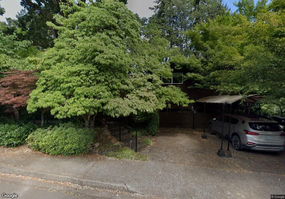
245 W 38th Ave Eugene, OR 97405
Crest Drive NeighborhoodEstimated Value: $543,991 - $608,000
3
Beds
2
Baths
1,691
Sq Ft
$344/Sq Ft
Est. Value
About This Home
This home is located at 245 W 38th Ave, Eugene, OR 97405 and is currently estimated at $581,748, approximately $344 per square foot. 245 W 38th Ave is a home located in Lane County with nearby schools including Edgewood Community Elementary School, Spencer Butte Middle School, and South Eugene High School.
Ownership History
Date
Name
Owned For
Owner Type
Purchase Details
Closed on
Aug 15, 2019
Sold by
Joffe Gerald L
Bought by
Joffe Gerald Lee and Broderick Patricia Ann
Current Estimated Value
Purchase Details
Closed on
Jun 23, 1999
Sold by
Johnson Erik Nels and Johnson Kathryn Callison
Bought by
Joffe Gerald L
Home Financials for this Owner
Home Financials are based on the most recent Mortgage that was taken out on this home.
Original Mortgage
$137,000
Interest Rate
6.65%
Create a Home Valuation Report for This Property
The Home Valuation Report is an in-depth analysis detailing your home's value as well as a comparison with similar homes in the area
Home Values in the Area
Average Home Value in this Area
Purchase History
| Date | Buyer | Sale Price | Title Company |
|---|---|---|---|
| Joffe Gerald Lee | -- | Cascade Title Co | |
| Joffe Gerald L | $172,000 | Fidelity National Title Ins |
Source: Public Records
Mortgage History
| Date | Status | Borrower | Loan Amount |
|---|---|---|---|
| Closed | Joffe Gerald L | $137,000 |
Source: Public Records
Tax History
| Year | Tax Paid | Tax Assessment Tax Assessment Total Assessment is a certain percentage of the fair market value that is determined by local assessors to be the total taxable value of land and additions on the property. | Land | Improvement |
|---|---|---|---|---|
| 2025 | $5,482 | $281,355 | -- | -- |
| 2024 | $5,414 | $273,161 | -- | -- |
| 2023 | $5,414 | $265,205 | $0 | $0 |
| 2022 | $5,072 | $257,481 | $0 | $0 |
| 2021 | $4,764 | $249,982 | $0 | $0 |
| 2020 | $4,780 | $242,701 | $0 | $0 |
| 2019 | $4,617 | $235,633 | $0 | $0 |
| 2018 | $4,346 | $222,107 | $0 | $0 |
| 2017 | $4,140 | $222,107 | $0 | $0 |
| 2016 | $3,951 | $215,638 | $0 | $0 |
| 2015 | $3,834 | $209,357 | $0 | $0 |
| 2014 | $3,790 | $203,259 | $0 | $0 |
Source: Public Records
Map
Nearby Homes
- 320 Dellwood Dr
- 75 W 35th Place
- 357 W 37th Ave
- 3593 Lawrence St
- 453 Dellwood Dr
- 170 E 40th Ave
- 275 E 39th Ave
- 605 Fulvue Dr
- 3854 Monroe St
- 0 Hidden Meadows
- 434 E 39th Ave
- 806 Sundance St
- 4023 Donald St Unit K
- 0 E 39th Ave
- 17 Westbrook Way
- 21 Westbrook Way
- 36 Westbrook Way
- 4295 Ferry St
- 555 Stafford Ct
- 1 Storey Blvd
Your Personal Tour Guide
Ask me questions while you tour the home.