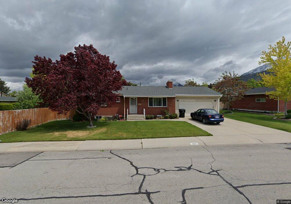
247 E 3200 N Provo, UT 84604
Rock Canyon NeighborhoodEstimated Value: $501,000 - $570,000
4
Beds
3
Baths
2,160
Sq Ft
$246/Sq Ft
Est. Value
About This Home
This home is located at 247 E 3200 N, Provo, UT 84604 and is currently estimated at $530,555, approximately $245 per square foot. 247 E 3200 N is a home located in Utah County with nearby schools including Edgemont School, Centennial Middle School, and Timpview High School.
Ownership History
Date
Name
Owned For
Owner Type
Purchase Details
Closed on
Aug 30, 2019
Sold by
Criddle Wilson Linda Marie and The Criddle Living Trust
Bought by
Heiner Matthew and Heiner Lauradawn
Current Estimated Value
Home Financials for this Owner
Home Financials are based on the most recent Mortgage that was taken out on this home.
Original Mortgage
$319,500
Outstanding Balance
$247,585
Interest Rate
3.8%
Estimated Equity
$282,970
Purchase Details
Closed on
Jul 26, 1999
Sold by
Farley Kellie J
Bought by
Criddle Joy E
Purchase Details
Closed on
May 5, 1997
Sold by
Yorgason Floyd Wayne and Yorgason Tamara
Bought by
Farley Kellie J
Home Financials for this Owner
Home Financials are based on the most recent Mortgage that was taken out on this home.
Original Mortgage
$108,700
Interest Rate
7.98%
Create a Home Valuation Report for This Property
The Home Valuation Report is an in-depth analysis detailing your home's value as well as a comparison with similar homes in the area
Home Values in the Area
Average Home Value in this Area
Purchase History
| Date | Buyer | Sale Price | Title Company |
|---|---|---|---|
| Heiner Matthew | -- | Skyline Title Llc | |
| Criddle Joy E | -- | Provo Land Title Company | |
| Farley Kellie J | -- | -- |
Source: Public Records
Mortgage History
| Date | Status | Borrower | Loan Amount |
|---|---|---|---|
| Open | Heiner Matthew | $319,500 | |
| Previous Owner | Farley Kellie J | $108,700 |
Source: Public Records
Tax History
| Year | Tax Paid | Tax Assessment Tax Assessment Total Assessment is a certain percentage of the fair market value that is determined by local assessors to be the total taxable value of land and additions on the property. | Land | Improvement |
|---|---|---|---|---|
| 2025 | $2,614 | $271,370 | -- | -- |
| 2024 | $2,614 | $257,290 | $0 | $0 |
| 2023 | $2,505 | $243,100 | $0 | $0 |
| 2022 | $2,727 | $266,805 | $0 | $0 |
| 2021 | $2,131 | $363,700 | $185,500 | $178,200 |
| 2020 | $2,058 | $329,300 | $154,600 | $174,700 |
| 2019 | $1,842 | $306,500 | $154,600 | $151,900 |
| 2018 | $1,630 | $275,100 | $143,000 | $132,100 |
| 2017 | $1,543 | $143,110 | $0 | $0 |
| 2016 | $1,442 | $124,630 | $0 | $0 |
| 2015 | $1,353 | $118,195 | $0 | $0 |
| 2014 | $1,184 | $107,855 | $0 | $0 |
Source: Public Records
Map
Nearby Homes
- 3025 N 250 E
- 3221 Shadowbrook Cir
- 3305 N Shadowbrook Cir
- 111 Candlewood Place
- 5600 N Canyon Rd
- 3240 Shadowbrook Dr
- 3057 N 100 W
- 3013 N 100 W
- 2999 N Marrcrest West Dr
- 2774 N 370 E
- 2939 N Marrcrest Dr W
- 158 Woodside Dr
- 2735 N Country Club Dr
- 758 E 3030 N
- 3711 N Canyon Rd
- 3043 Bannock Dr
- 3129 Cherokee Ln
- 788 E 2680 N
- 3250 Mohawk Ln
- 299 E 4000 N
- 265 E 3200 N
- 3204 N 175 E
- 240 E 3250 N
- 3210 N 175 E
- 285 E 3200 N
- 348 E 3250 N
- 220 E 3200 N
- 252 E 3200 N
- 266 E 3200 N
- 302 E 3200 N
- 284 E 3200 N
- 299 E 3200 N
- 3180 N 175 E
- 350 E 3250 N
- 367 E 3250 St N Unit 4
- 371 E 3250 St N Unit 2
- 370 E 3250 St N Unit 1
- 403 E 3250 St N Unit 4
- 369 E 3250 St N Unit 4
- 370 E 3250 St N Unit 3
Your Personal Tour Guide
Ask me questions while you tour the home.