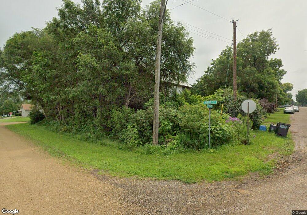
247 N Ewing St Good Thunder, MN 56037
Estimated Value: $151,056 - $251,000
3
Beds
2
Baths
1,248
Sq Ft
$156/Sq Ft
Est. Value
About This Home
This home is located at 247 N Ewing St, Good Thunder, MN 56037 and is currently estimated at $195,014, approximately $156 per square foot. 247 N Ewing St is a home with nearby schools including Maple River Secondary School and St. John Lutheran School.
Ownership History
Date
Name
Owned For
Owner Type
Purchase Details
Closed on
Dec 1, 2017
Sold by
Clipper Amanda Jane
Bought by
Lillis John Mendenhall
Current Estimated Value
Purchase Details
Closed on
Dec 4, 2012
Sold by
Lillis John and Lillils Pamela
Bought by
Lillis John Mendenhall and Lillis Amanda J
Create a Home Valuation Report for This Property
The Home Valuation Report is an in-depth analysis detailing your home's value as well as a comparison with similar homes in the area
Home Values in the Area
Average Home Value in this Area
Purchase History
| Date | Buyer | Sale Price | Title Company |
|---|---|---|---|
| Lillis John Mendenhall | -- | -- | |
| Lillis John Mendenhall | $8,000 | None Available |
Source: Public Records
Tax History Compared to Growth
Tax History
| Year | Tax Paid | Tax Assessment Tax Assessment Total Assessment is a certain percentage of the fair market value that is determined by local assessors to be the total taxable value of land and additions on the property. | Land | Improvement |
|---|---|---|---|---|
| 2025 | $1,646 | $119,600 | $18,400 | $101,200 |
| 2024 | $1,646 | $123,400 | $18,400 | $105,000 |
| 2023 | $1,794 | $127,400 | $18,400 | $109,000 |
| 2022 | $1,558 | $119,300 | $18,400 | $100,900 |
| 2021 | $1,550 | $94,000 | $18,400 | $75,600 |
| 2020 | $1,214 | $87,500 | $18,400 | $69,100 |
| 2019 | $1,030 | $87,500 | $18,400 | $69,100 |
| 2018 | $994 | $74,000 | $13,800 | $60,200 |
| 2017 | $1,262 | $148,000 | $27,600 | $120,400 |
| 2016 | $1,498 | $74,000 | $13,800 | $60,200 |
| 2015 | $14 | $70,000 | $13,800 | $56,200 |
| 2014 | $758 | $210,000 | $41,400 | $168,600 |
Source: Public Records
Map
Nearby Homes
- 210 N Halladay St
- 217 S Houk St
- 331 S Ewing St
- 16280 552nd Ave
- 16225 563rd Ave
- 55997 132nd St
- 305 E Main St
- 120 Mapleridge Dr
- 3136 River Meadows Dr
- 0 Tbd E 161st St
- 205 Park Ave N
- 201 Park Ave N
- E Tbd
- 57396 181st Ln
- 57868 179th St
- 277 Red Ridge Rd
- 103 Calm Ct SW
- 202 Silver St E
- 507 6th Ave NE
- 606 Smith St NE
- 245 N Ewing St
- 254 N Halladay St
- 250 N Halladay St
- 240 N Halladay St
- 230 N Halladay St
- 229 N Ewing St
- 220 N Halladay St
- 251 Miner St N
- 545 Mielke St
- 255 N Halladay St
- 251 N Halladay St
- 241 241 N Halladay St
- 220 N Ewing St
- 241 N Halladay St
- 544 Mielke St
- 630 Shaubut St
- 620 Shaubut St
- 241 Miner St N
- 231 N Halladay St
- 620 620 Shaubut St
